

Essex Walks

Purleigh Walks & Route Maps

Purleigh walk, Essex
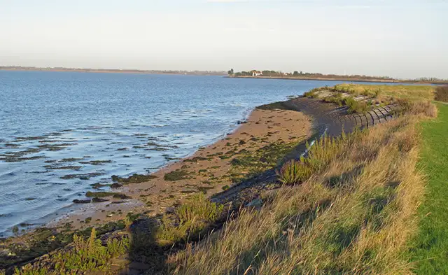
Purleigh · Photo: Trevor Harris

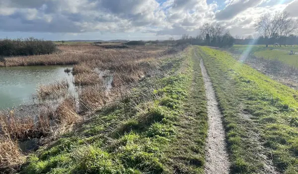
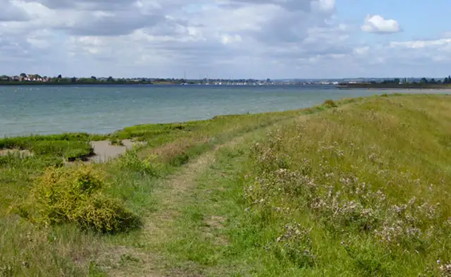
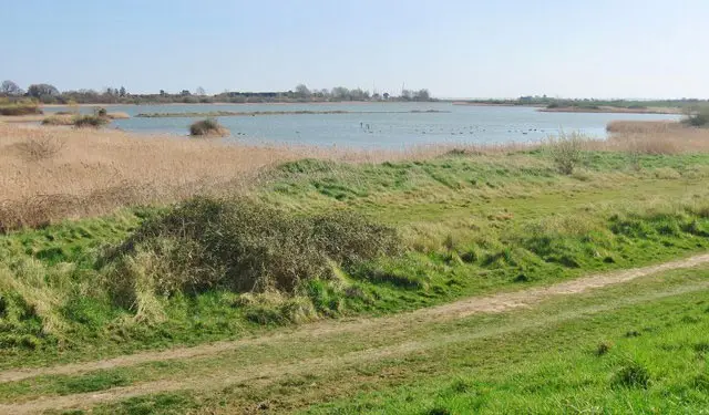
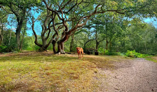
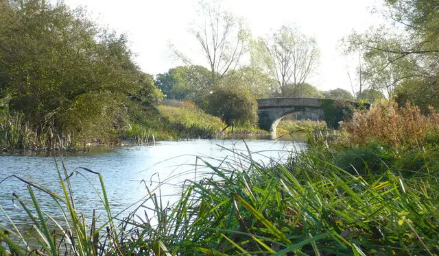
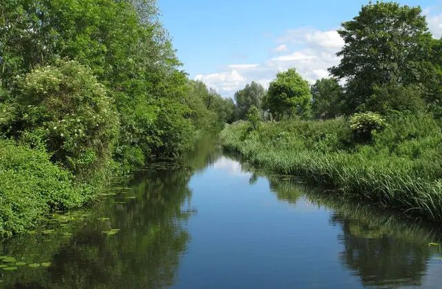
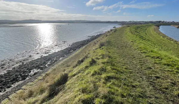
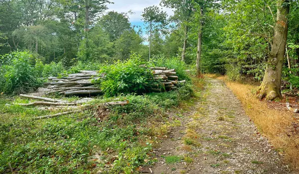
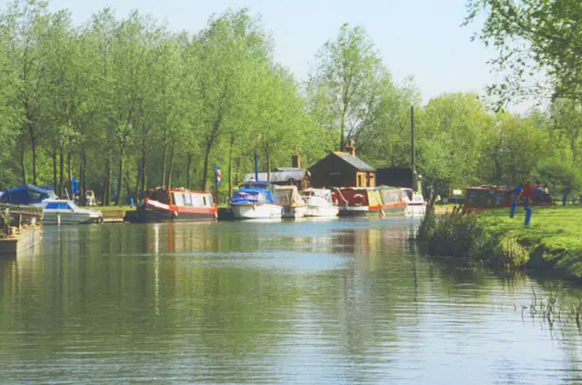
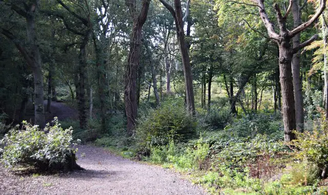
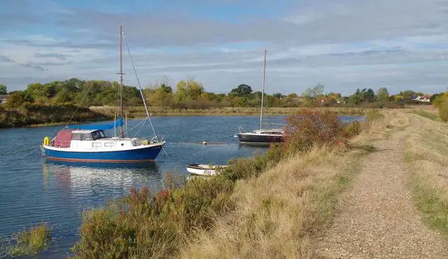
These walks explore the countryside around Purleigh in Essex, a quiet rural area between inland farmland and the lower Crouch Valley, where footpaths and country lanes link small pockets of open landscape.

Both routes pass Purleigh Mount, a local high point with a slight rise above the surrounding fields, and include sections of St. Peter’s Way, a long-distance path running between Chipping Ongar and the Essex coast at St. Peter-on-the-Wall, before finishing back in the village where The Bell provides a place to stop for refreshments.

Download the Essex Walks App to follow these routes with real-time GPS navigation.

Download on the App Store Get it on Google Play

Walk information

Purleigh Walk 1

Walk distance
3 miles
Time
1.5 hours
Route type
Circular

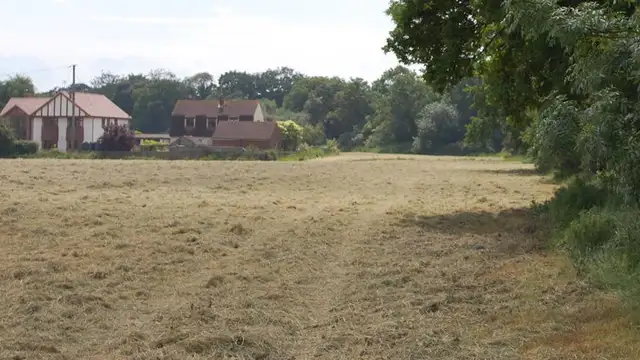
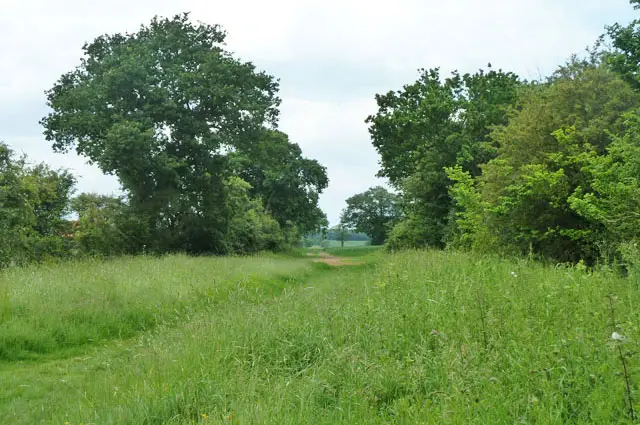
This shorter Purleigh route drifts through a softer, low-lying stretch of Essex countryside, where hedgerows, fields, and big skies create a laid-back rural feel.

Purleigh Mount adds a gentle lift in the landscape, offering a slightly raised viewpoint across the patchwork of farmland.

A local pub along the way brings a welcoming break, rounding off an easy-going walk that’s all about fresh air and a slower pace.

Purleigh Walk 1 4.5 Ratings and reviews 2 ratings · 1 review

Based on 2 user ratings

Community feedback

Overall rating4.5

An outstanding walk

Dog friendly4.0 / 5
Path condition4.0 / 5
Buggy friendly1.5 / 5
Wheelchair friendly1.5 / 5
Toilet facilities1.5 / 5
Pub or café4.5 / 5
Route accuracy4.5 / 5
ClimbingSome climbing
LivestockRarely any livestock
StilesA stile or two
Mud levelWellies when wet

Real feedback from people who have completed this walk using the Essex Walks app.

First-hand experiences

User reviews

Walker review

Great little walk. Need to walk across the middle of the farmers field a couple of tines. Good little car park by the park

Walk information

Purleigh Walk 2

Walk distance
6 miles
Time
3 hours
Route type
Circular

This longer Purleigh walk heads in the oposite direction to the first, and explores the gentle countryside to the west of Purleigh.

The route takes in Purleigh Mount, a subtle rise that offers a sense of elevation and views across the surrounding fields toward the River Crouch.

Sections of the walk also follow St. Peter’s Way, a long-distance path linking inland landscapes with the coast, adding a quiet historical thread to the walk.

A village pub at the end provides a well-earned finish to the walk.

Refreshments:

The Bell, Purleigh

Purleigh Walk 2 4.3 Ratings and reviews 4 ratings · 2 reviews

Based on 4 user ratings

Community feedback

Overall rating4.3

A very popular walk

Dog friendly3.8 / 5
Path condition4.0 / 5
Buggy friendly1.3 / 5
Wheelchair friendly2.0 / 5
Toilet facilities1.0 / 5
Pub or café2.5 / 5
Route accuracy4.8 / 5
ClimbingGentle slopes
LivestockSome livestock
StilesA stile or two
Mud levelBoots recommended

Real feedback from people who have completed this walk using the Essex Walks app.

First-hand experiences

User reviews

Walker review

Was a lovely walk , can see it being very muddy on wet westher a few cross field sections....A firld of sheep and another with 2 very exitable horses....Pub at the end of walk didnt go in but looked nice...

Walker review

Loved this walk apart from the first road section which was busy with cars travelling at speed. Overall good a pleasent walk lots of lovely scenery, at some points we could see for miles . Would recommend, just be aware of the road sections . We didnt use the pub, however it looked very nice and the foid smelt very tempting.

Navigate the walks

Essex Walks App

Follow the Purleigh walks with GPS guidance

It's like sat-nav, but for footpaths.

Choose a walk and follow the pointer showing your live position on the route map, so you always know you're on the right path.

The app works without a phone signal, so you can keep following the route wherever the walk takes you.

Download the app

Download on the App Store Get it on Google Play
Essex Walks app showing the walker's live position on a route map

Designed to be simple

  • Choose a walk and follow the pointer
  • See your live position on the route map
  • Works without a phone signal
  • Includes 250+ Essex walks
  • Free one-month trial
  • Available for iPhone and Android

Explore the area

Nearby walks

Explore the county

Essex walks map

Map data © OpenStreetMap contributors

Search Essex walks

See where the walks start, explore the area and tap a pin to find a route for your next adventure.

Search Essex walks
Expanded route map for Purleigh Walk 1, a 3 mile circular walk in Essex