

Wiltshire Walks

Stonehenge Walks and Route Maps

Stonehenge walk, Wiltshire
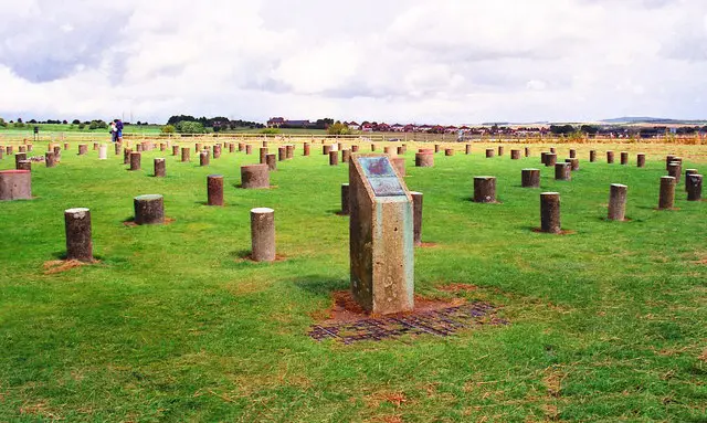
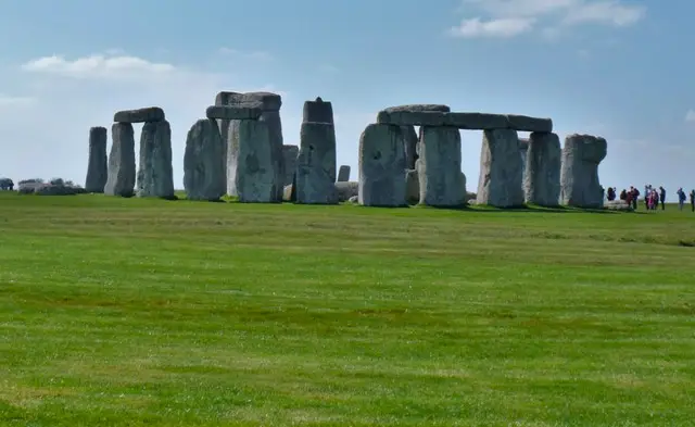
Stonehenge · Photo: Michael Dibb

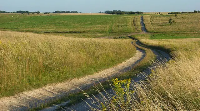
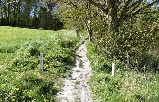
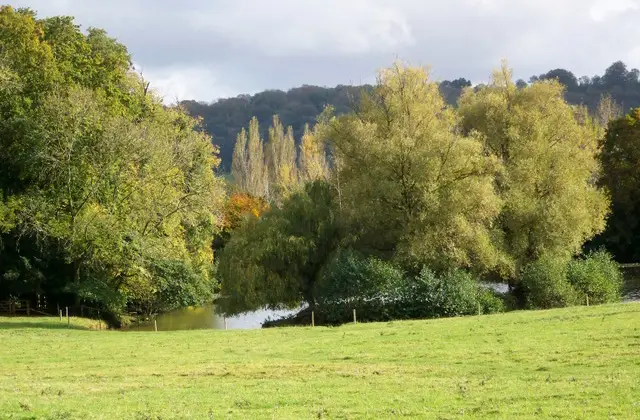
These walks explore the open chalk downland surrounding Stonehenge, one of Britain’s most famous ancient landscapes.

With two route options available, you can choose a shorter approach to the stones or a longer circuit that takes in more of the wider World Heritage Site.

The shorter route focuses on the iconic stone circle and the sweeping plains that surround it, while the longer walk adds ancient features such as the Old King’s Barrows and The Avenue, a ceremonial route that once linked the monument to the River Avon.

As you walk, the scale of the landscape becomes part of the experience, with wide horizons and big skies giving a real sense of space and history.

As this is a protected World Heritage Site, parking and entry charges may apply.

Download the Wiltshire Walks App to follow these routes with real-time GPS navigation.

Download on the App Store Get it on Google Play

On a computer? Scan the QR code with your phone's camera to get the Wiltshire Walks app.

Walk information

Stonehenge Walk 1

Walk distance
3¾ miles
Time
2 hours
Route type
Circular

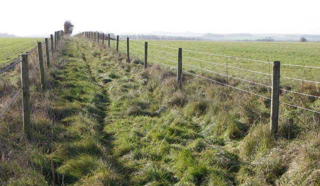
This route leads out across the open downland from the official car park to the world-famous Stonehenge site, one of Britain’s most iconic prehistoric landscapes.

The wide chalk plains and big skies give the walk a spacious, atmospheric feel, with the ancient stones rising from the horizon as the highlight of the outing.

Walk information

Stonehenge Walk 2

Walk distance
6¾ miles
Time
3.5 hours
Route type
Circular

This longer route extends the first route and explores more of the Stonehenge World Heritage landscape.

As well as visiting the world famous stones themselves, you'll take in wide stretches of open downland along with the ancient earthworks of the Old King’s Barrows and the ceremonial line of The Avenue.

It’s a proper countryside outing with a strong sense of prehistory at every turn, ideal for those wanting to stretch their legs beyond the stones themselves.

Parking and entry charges may apply within the World Heritage Site, so it’s worth checking details before visiting.

These Stonehenge walks start at coordinates: 51.18364, -1.857936

Navigate the walks

Wiltshire Walks App

Follow the Stonehenge walks with GPS guidance

It's like sat-nav, but for footpaths.

Choose a walk and follow the pointer showing your live position on the route map, so you always know you're on the right path.

The app works without a phone signal, so you can keep following the route wherever the walk takes you.

Download the app

Download on the App Store Get it on Google Play

On a computer? Scan the QR code with your phone's camera to get the Wiltshire Walks app.

Wiltshire Walks app showing the walker's live position on a route map

Designed to be simple

  • Choose a walk and follow the pointer
  • See your live position on the route map
  • Works without a phone signal
  • Includes 300 Wiltshire walks
  • Free one-month trial
  • Available for iPhone and Android

Explore the area

Nearby walks

Explore the county

Wiltshire walks map

Map data © OpenStreetMap contributors

Search Wiltshire walks

See where the walks start, explore the area and tap a pin to find a route for your next adventure.

Search Wiltshire walks
Expanded route map for Stonehenge Walk 1, a 3.75 mile circular walk in Wiltshire