
At a glance
Urchfont Walk
- Distance
- 5.75 miles
- Estimated time
- 3 hours
- Route type
- Circular
- GPS app guided
- Yes
- Parking
- Free parking at start 51.31090, -1.94414
- Characteristics
- Hills, Countryside
Wiltshire Walks
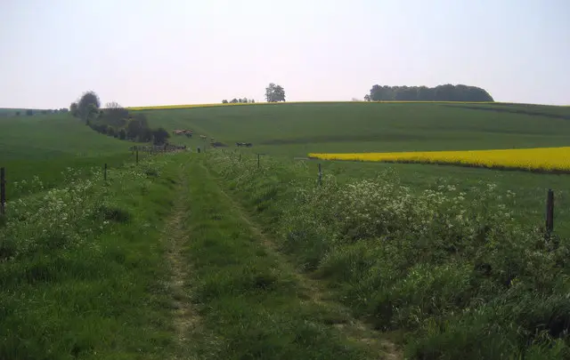
This walk from Urchfont is a rewarding circular route that begins with a steady climb onto Urchfont Hill.
From the open ridge of the White Horse Trail to the village of Easterton and its welcoming pub, this walk offers a satisfying mix of elevated downland scenery, open skies and gentle countryside on the return leg.
Download the Wiltshire Walks App to follow this route with real-time GPS navigation.


At a glance
The walk
This long circular walk from Urchfont first climbs steadily onto Urchfont Hill.
The ascent brings a more strenuous feel, but the higher ground rewards the effort with wide views across the surrounding downs.
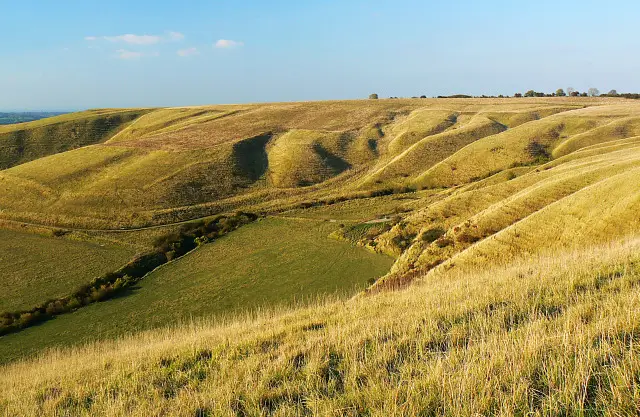
Up on the ridge, the route joins a stretch of the White Horse Trail, where the open chalk landscape and big skies give a real sense of space.
You'll then descend into the village of Easterton, where you'll find a pub for refreshments before heading back to the start through more gentle countryside.
It’s a demanding but satisfying outing, with plenty of fresh air and classic downland scenery throughout.
Refreshments:
The Royal Oak, Easterton
Based on 5 user ratings
A very popular walk
Very dog friendly
Clear and easy
Hard going with a buggy
Not wheelchair accessible
Very limited facilities
Not much on route
Spot on
Real feedback from people who have completed this walk using the Wiltshire Walks app.
First-hand experiences
Mostly off lead walk for lively dogs so they loved it. Some sheep towards end so be mindful of that and some off road motorbikes but the riders were slowing down when near us. Not too arduous-gradual climb at beginning then nearly all flat. We took picnic but Royal Oak would be a good place to stop. Will def do this walk again.
Very muddy!
The byway along the top of the ridge was extremely busy with trail bikes and cars so not great for a peaceful or doggie walk
Limited parking at start but other options close by.
Comments from walkers who have completed the Urchfont walk.
Navigate the walks
The easiest way to follow this route is with the Wiltshire Walks app. Choose the walk and follow the pointer showing your live position on the route map, so you can see you're on the right path.
The app works without a phone signal, so you can keep following the route wherever the walk takes you.

Explore the area
 2-5.75 miles
 1.75-4 miles
 2.25-9.75 miles
 1.25 miles
 5.25-9 miles
 2.75 miles
 4.75 miles
 6-8.25 miles
 2 miles
 1-8.5 miles
 2-7.25 miles
 2.25-6.25 miles
 5.25 miles
 4.5-8.5 miles
 3.5 miles
Explore the county
See where the walks start, explore the area and tap a pin to find a route for your next adventure.
Search Wiltshire walks