

Essex Walks

Top 10 Essex Coastal Walks

Top 10 Essex Coastal Walks

Fancy a lovely Essex coastal walk? Essex has over 350 miles of glorious coastline with pretty villages, lively towns and wonderful wildlife. Here are 10 great circular walks that will allow you to enjoy the fresh sea air and beautiful Essex countryside.

Download the Essex Walks App to follow these routes with real-time GPS navigation.

Download on the App Store Get it on Google Play

On a computer? Scan the QR code with your phone's camera to get the Essex Walks app.

Walk details

Frinton-on-Sea

Walk distance
1¼ - 6 miles
Time
30 mins - 3 hours
Route type
Circular

1.25 miles, 3.75 miles, 6 miles

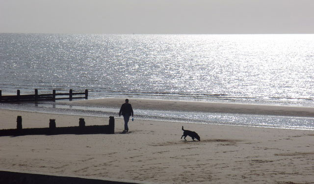
We have 3 walking routes from Frinton-on-Sea. The first is a simple short walk along the pretty esplanade which then takes you on a short optional detour up the main street if you want some ice cream or a pub for refreshments, and then it takes you back down to the seafront where you can stroll back along the beach.

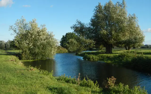
The second route is the option for you if you have a bit more time and want a more varied walk from Frinton-On-Sea. It enjoys more of the esplanade than the first walk and also takes you along the beach, but this route also heads out into some open countryside, through a gold course and much further along the main shopping street in Frinton-on-Sea where you will find pubs and eateries. There are some mild ascents on this walk.

The final route is basically the same as route 2, but gives you a much longer stroll along the lovely peaceful esplanade and a much longer walk back along the lovely beach. There is a climb and ascent on the walk as you go from the Esplanade to the Beach.

View the walks and route maps

Walk details

Cudmore Grove

Walk distance
3½ miles
Time
1.5 hours
Route type
Circular

3.5 miles

Enjoy a day out walking around the Essex coastline on Mersea Island. Cudmore Grove is a designated Country Park covering 38 acres of beach, grassland, cliffs and saltmarsh. The area is also home to many species of bird. This route also includes some road walking.

View the walk and route map

Walk details

Brightlingsea

5.75 miles

This is a wonderful coastal walk from Brightlingsea that takes you on a sweeping adventure inland alongside the majestic mouth of the River Colne. The loop then brings you back to the start through open farmland and countryside.

Walk details

Burnham-on-Crouch

Walk distance
2½ - 7¾ miles
Time
1.5 - 4 hours
Route type
Circular

2.5 miles and 7.75 miles

The first route is an easy family-friendly walk that takes you around local park land, along the River Crouch, past the Burnham Yacht Club harbour and on a stroll through the Riverside Park.

If you want to stretch your legs and really explore the area around Burnham-on-Crouch a bit further, this second route is an epic adventure for you. This route enjoys the harbour and Riverside park from the first route, but it also takes you along the Saltmarsh Coastal Trail for a long walk out East into Burnham Wick before looping and heading back through the town's high street itself where there are pubs and various eateries for refreshments.

View the walks and route maps

Walk details

Jaywick

10 miles

This is an epic adventure from the village of Jaywick, just to the south west of Clacton on Sea. If you head clockwise, the walk takes you on a long walk along the seafront until you reach the village of Lee-over-Sands, before heading back though open farmland to the village of St Osyth with it's pretty church and pub. After that, the route takes you back through more farmland and along quiet country lanes towards Jaywick.

Let our app guide you around these walks. It’s so easy to use and shows your position on the route map as you walk.

Walk details

Bradwell on Sea

Walk distance
6¼ miles
Time
3 hours
Route type
Circular

6.25 miles

This is a remote, quiet coastal walk around the Bradwell Cockle Spit nature reserve. The reserve is home to lots of nesting birds including the rare little tern. There are also many other breeds including ducks, waders and Brent geese. On the walk you will also see the St Peter's chapel, Bradwell war memorial and the Bradwell nuclear power station. There is some road walking on this route.glorious wildlife.

View the walk and route map

Walk details

Two Tree Island

Walk distance
1½ - 3 miles
Time
30 mins - 1.5 hours
Route type
Circular

1.5 miles, 1.75 miles, 3 miles

Two Tree Island is a small island covering 257 hectares and is connected to the mainland at Leigh by a bridge. It is also a nature reserve and a refuge for a huge variety of wildfowl and waders. This first short route explores the eastern side of the island.

This is the second route option on Two Tree Island which basically explores the west side the island and allows you to enjoy even more wildlife in this intriguing nature reserve.

This final route option is basically both of the first two routes added together to create a figure of eight walk that explores the whole of the Nature Reserve on Two Trees Island.

View the walks and route maps
Walk distance
2½ miles
Time
1 hour
Route type
Circular

2.5 miles

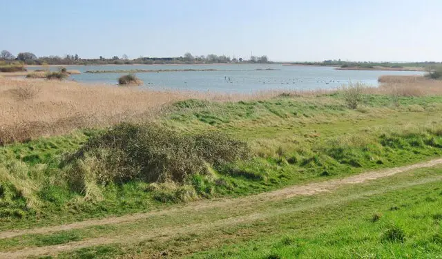
This is a lovely family-friendly walk around the Holland Haven Country Park. One half of the walk is a lovely walk along the seafront and the other half winds it's way along the edge of the Holland Haven Marshes with it's abundance of wildlife to enjoy. There is a cafe for refreshments on the beach at the southern end of the walk.

View the walk and route map

Walk details

Wrabness

Walk distance
1¾ - 3¾ miles
Time
1 - 2 hours
Route type
Circular

1.75 miles and 3.75 miles

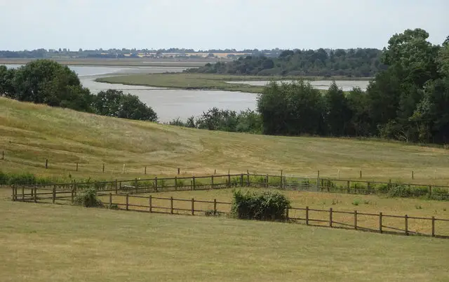
A nice short family-friendly stroll which starts from Wrabness train station car park. On this route you will walk past Grayson Perry’s “A House for Essex” which was commissioned as part of the Living Architecture programme. When you reach the Stour estuary, you will have the opportunity to see the varied wildlife before you loop back again to the start. There is some road walking on this route. There is a gentle descent down to the estuary on this route, so be ready for a mild climb back up.

This second walk is an extended version of the first route which is a fabulous walk if you have a bit more time and energy. This version of the walk enjoys a lot more walking alongside the estuary with it's abundance of wildlife as well as a lovely stroll through the pretty Stour Woods, making this a wonderfully varied walk. As with the first route, there is a gentle descent down to the estuary on this route, so be prepared for the mild climb back to the start.

View the walks and route maps

Walk details

Shoeburyness

Walk distance
1¾ miles
Time
1 hour
Route type
Circular

1.75 miles

This is a nice and interesting historic coastal walk from Shoeburyness. It' has flat and solid paths throughout and the walk takes you on a loop around Gunners Park where you'll visit two World War Two gun turrets.

View the walk and route map

Navigate the walks

Essex Walks App

Download the Essex Walks app

It's like sat-nav, but for footpaths.

Choose a walk and follow the pointer showing your live position on the route map, so you always know you're on the right path.

The app works without a phone signal, so you can keep following the route wherever the walk takes you.

Download the app

Download on the App Store Get it on Google Play

On a computer? Scan the QR code with your phone's camera to get the Essex Walks app.

Essex Walks app showing the walker's live position on a route map

Designed to be simple

  • Choose a walk and follow the pointer
  • See your live position on the route map
  • Works without a phone signal
  • Includes 250+ Essex walks
  • Free one-month trial
  • Available for iPhone and Android

Explore the county

Essex walks map

Map data © OpenStreetMap contributors

Search Essex walks

See where the walks start, explore the area and tap a pin to find a route for your next adventure.

Search Essex walks
Expanded route map for Frinton-on-Sea