

Sussex Walks

Chapel Common Walks & Route Maps

Chapel Common walk, Sussex
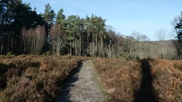
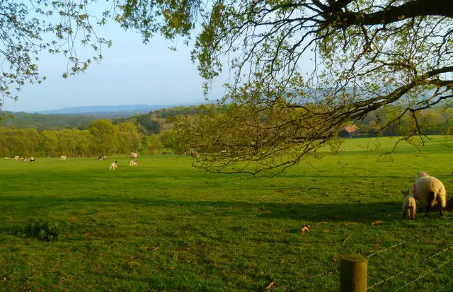
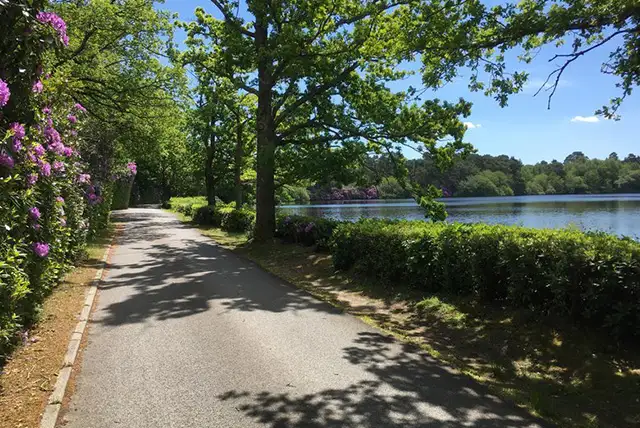
Chapel Common · Photo: Hugh Craddock

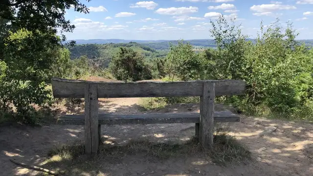
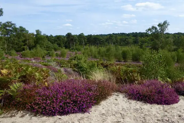
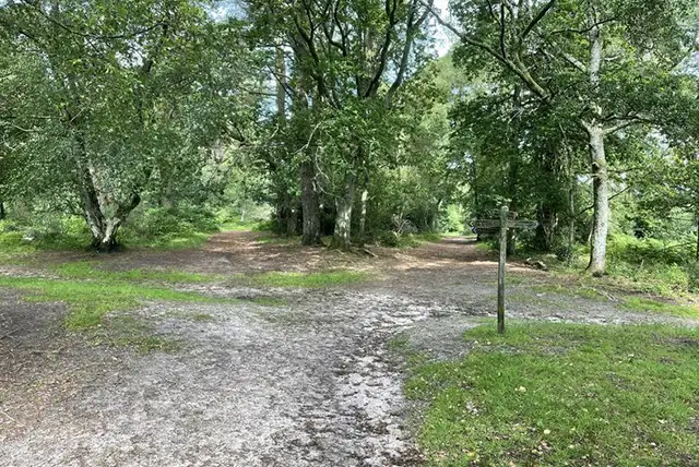
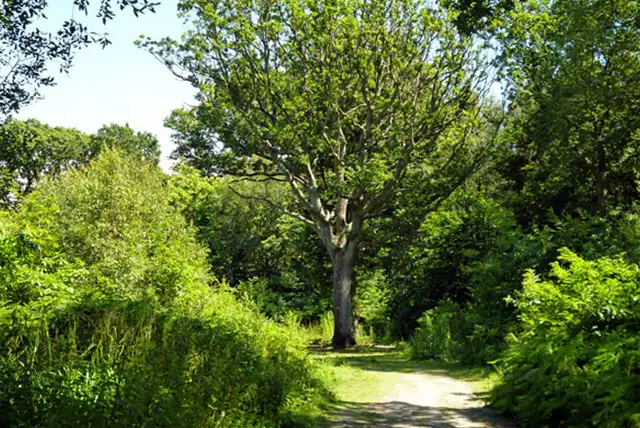
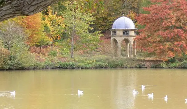
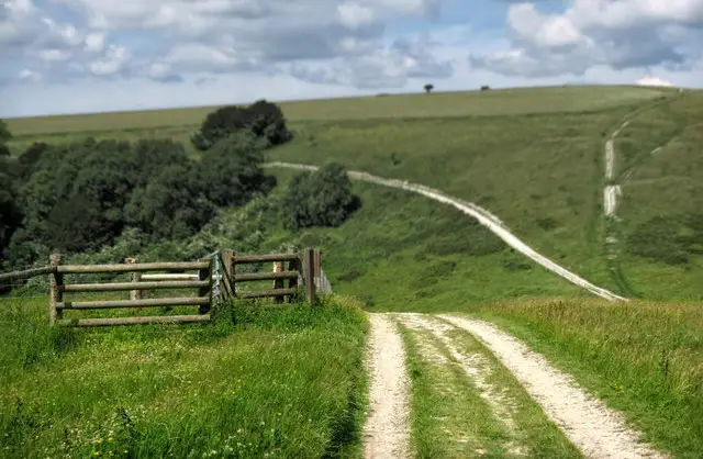
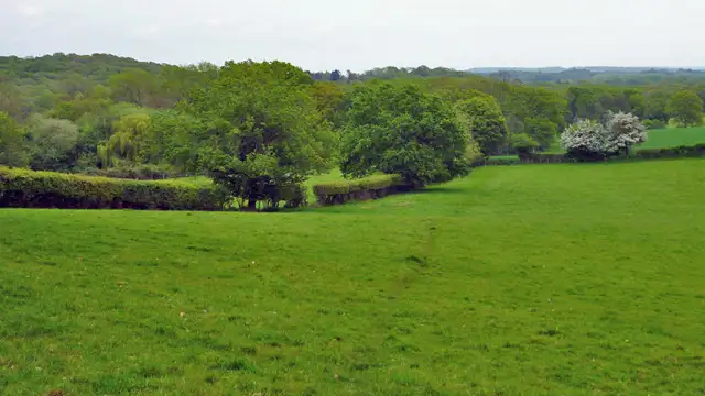
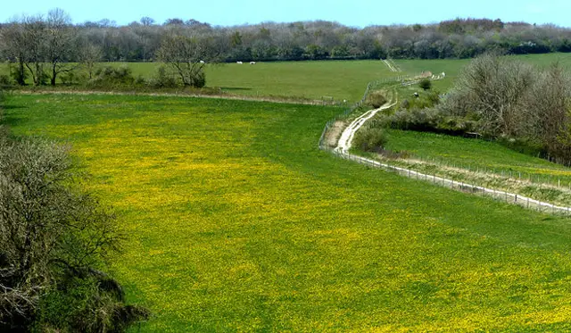
These walks explore the varied landscape around Chapel Common, where open grassland, scattered trees, and patches of woodland reflect centuries of traditional land use.

They also link into well-known routes like the Serpent Trail and Shipwrights Way, adding a sense of history to the surrounding countryside.

The shorter walk offers a compact loop across the common itself, while the longer route heads further out over Weavers Down and past Folly Pond, bringing in a wider range of scenery and habitats.

Download the Sussex Walks App to follow these routes with real-time GPS navigation.

Download on the App Store Get it on Google Play

Walk information

Chapel Common Walk 1

Walk distance
2¼ miles
Time
1 hour
Route type
Circular

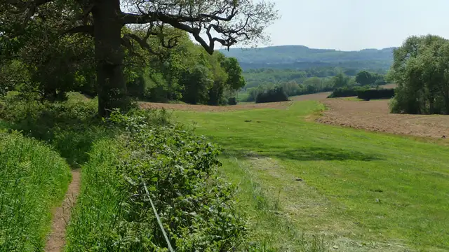
This short walk explores Chapel Common which is mainly open grassland shaped by centuries of grazing, with scattered trees and hedgerows.

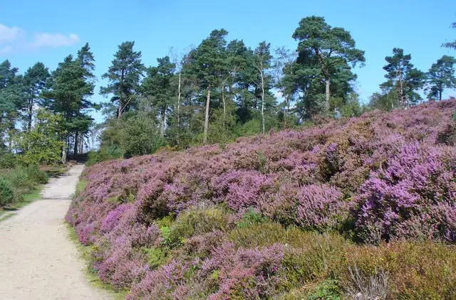
It joins the Serpent Trail, a long-distance path through West Sussex’s chalk downland, woodland, and heath, showing the region’s natural variety.

Compact but full of character, the route offers open views, glimpses of wildlife, and a sense of Sussex’s rural history.

Chapel Common Walk 1 No ratings yet Be the first - rate this walk in the Sussex Walks App

Walk information

Chapel Common Walk 2

Walk distance
5 miles
Time
2.5 hours
Route type
Circular

This longer route around Chapel Common explores a mix of open grassland, woodland, and ponds, giving a full sense of West Sussex’s rural character.

It passes along stretches of the historic Shipwrights Way, a trail that once connected coastal towns with inland villages.

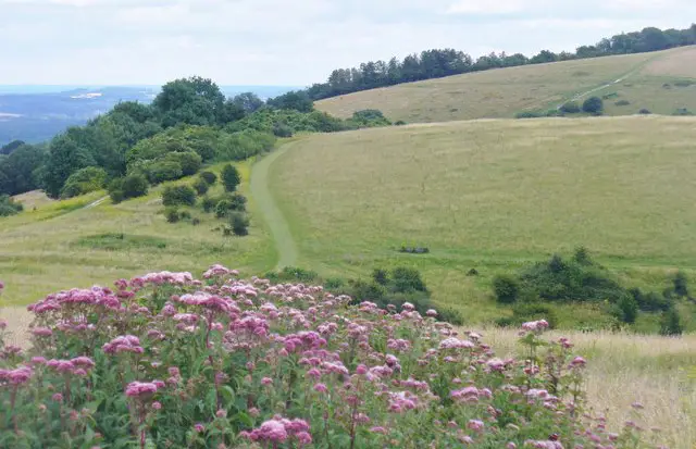
The route crosses Weavers Down, open fields where wildflowers and grasses thrive.

Folly Pond adds a bit of variety to the landscape with its small area of wetland.

Chapel Common Walk 2 No ratings yet Be the first - rate this walk in the Sussex Walks App

Navigate the walks

Sussex Walks App

Follow the Chapel Common walks with GPS guidance

It's like sat-nav, but for footpaths.

Choose a walk and follow the pointer showing your live position on the route map, so you always know you're on the right path.

The app works without a phone signal, so you can keep following the route wherever the walk takes you.

Download the app

Download on the App Store Get it on Google Play
Sussex Walks app showing the walker's live position on a route map

Designed to be simple

  • Choose a walk and follow the pointer
  • See your live position on the route map
  • Works without a phone signal
  • Includes 400 Sussex walks
  • Free one-month trial
  • Available for iPhone and Android

Explore the area

Nearby walks

Explore the county

Sussex walks map

Map data © OpenStreetMap contributors

Search Sussex walks

See where the walks start, explore the area and tap a pin to find a route for your next adventure.

Search Sussex walks
Expanded route map for Chapel Common Walk 1, a 2.25 mile circular walk in Sussex