At a glance
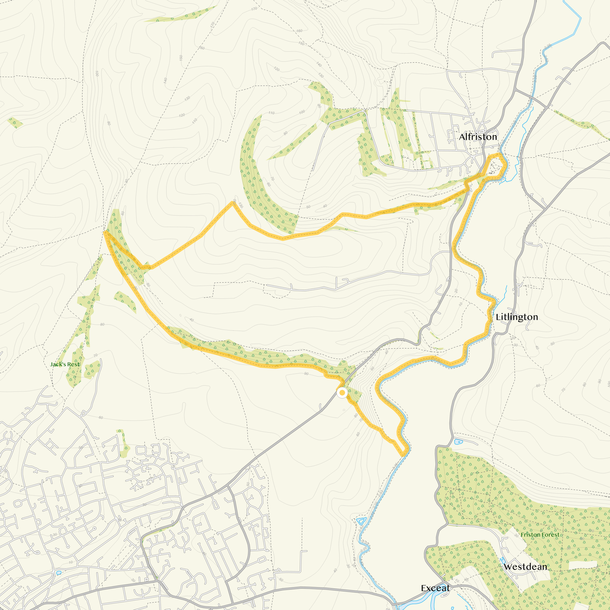
Route map and information
- Distance
- 2.75 miles
- Estimated time
- 1.5 hours
- Route type
- Circular
- GPS app guided
- Yes
- Parking
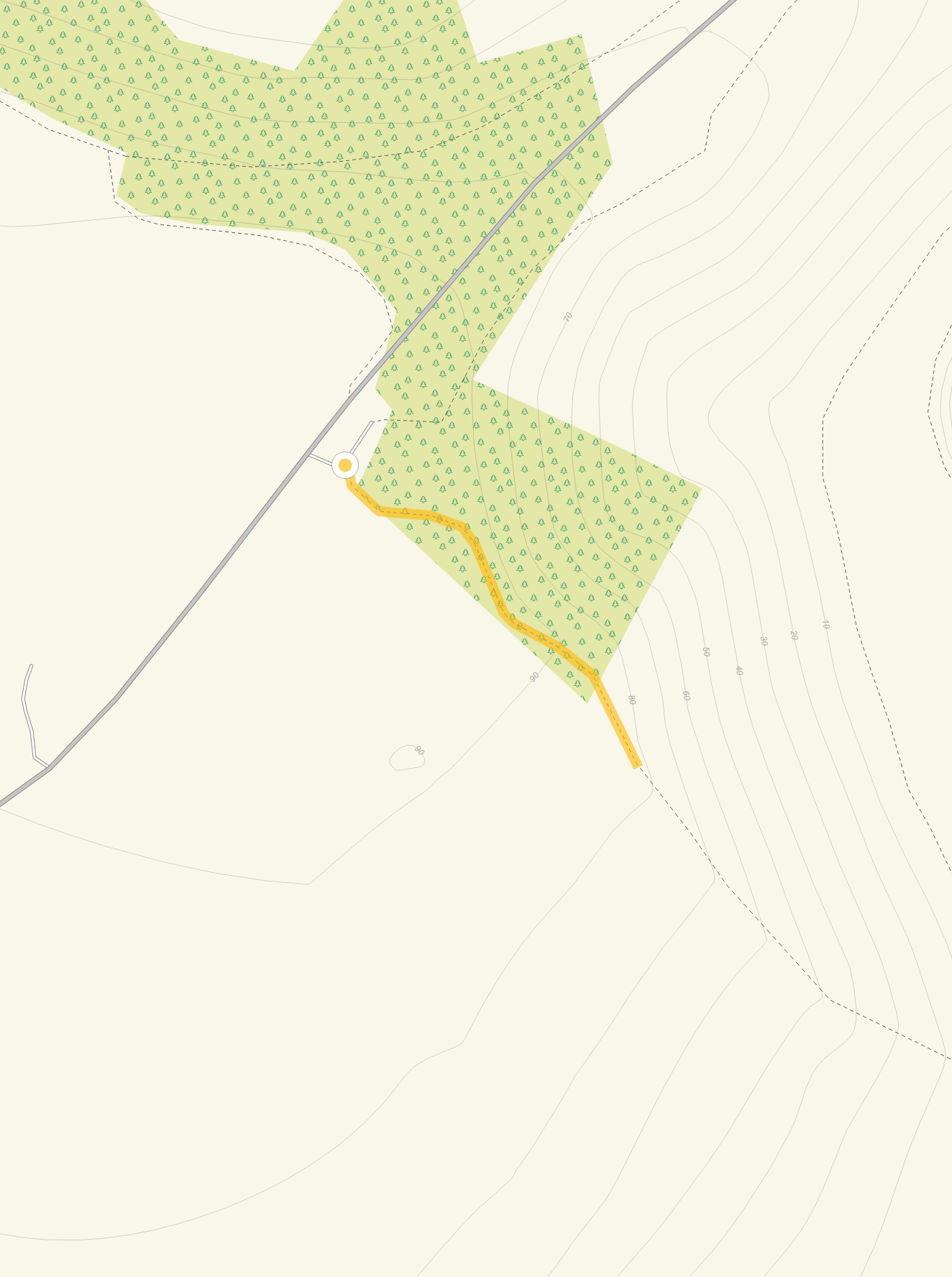
- High and Over car park 50.78983, 0.13975
- Characteristics
- Woodland, Hills, Countryside
Litlington White Horse walk 3
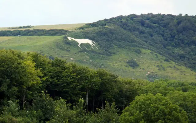
This third route also has some very steep hills to climb and descend, so you will certainly need your energy for this one as well.
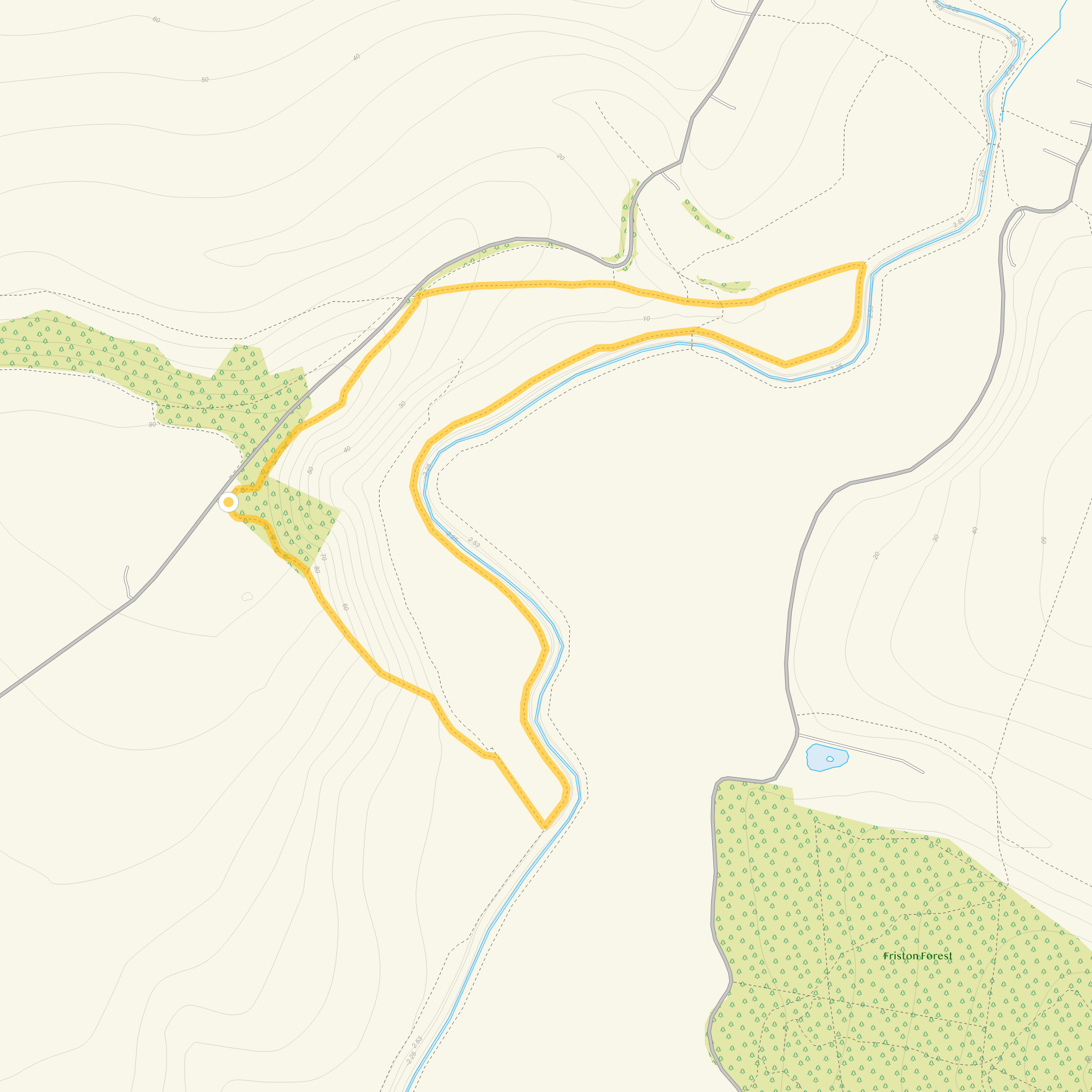
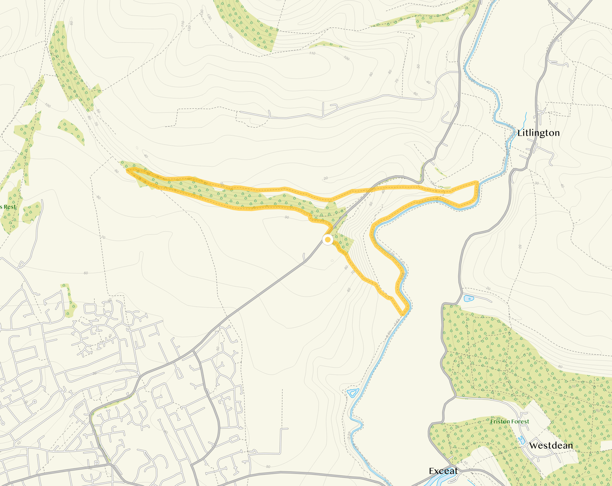
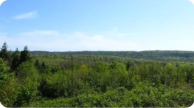
It is different to the second route in that it heads west from the car park and takes you over Cradle Hill and through some pretty hillside woodland.
We wouldn't want you to miss the wonderful views from the White Horse though, so there is the little extension to take you to the viewpoint.
Download the Sussex Walks App to follow this route with real-time GPS navigation.


At a glance
Navigate the walks
The easiest way to follow this route is with the Sussex Walks app. Choose the walk and follow the pointer showing your live position on the route map, so you can see you're on the right path.
The app works without a phone signal, so you can keep following the route wherever the walk takes you.

Same location
Explore the area
Explore the county
See where the walks start, explore the area and tap a pin to find a route for your next adventure.
Search Sussex walks