At a glance
Route map and information
- Distance
- 2.25 miles
- Estimated time
- 1 hour
- Route type
- Circular
- GPS app guided
- Yes
- Parking
- High and Over car park 50.78983, 0.13975
- Characteristics
- Hills, Countryside
Litlington White Horse walk 2
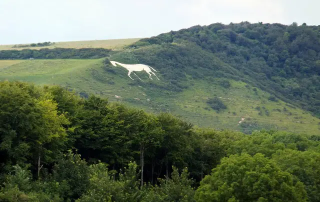
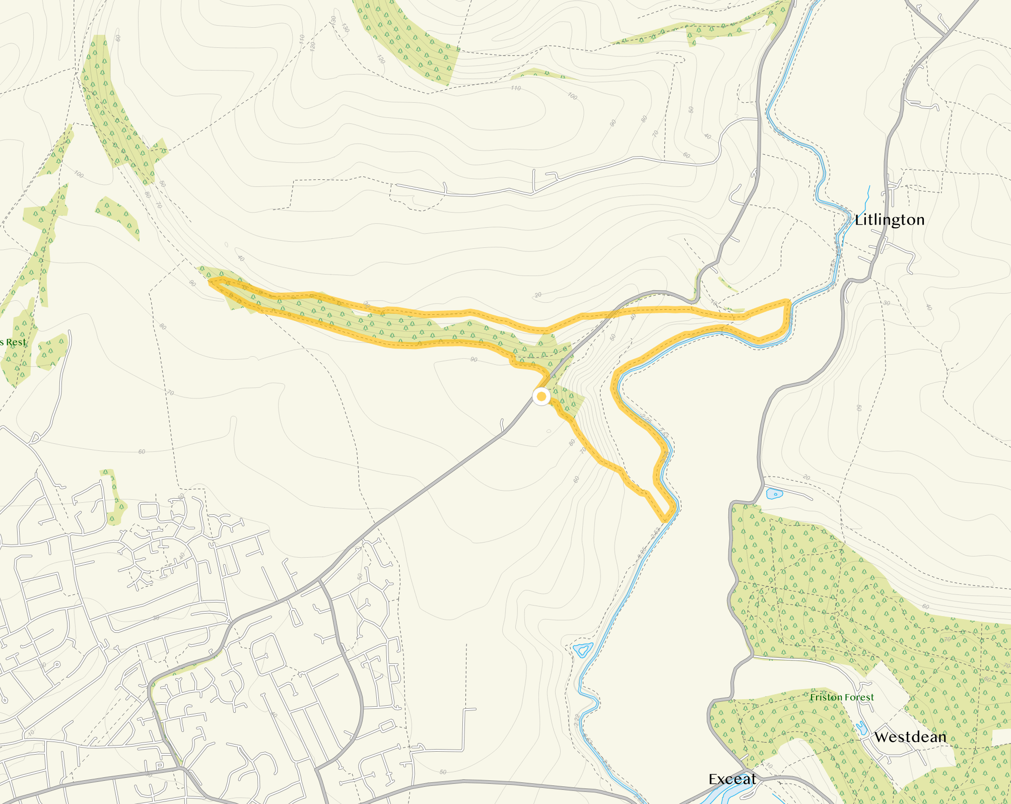
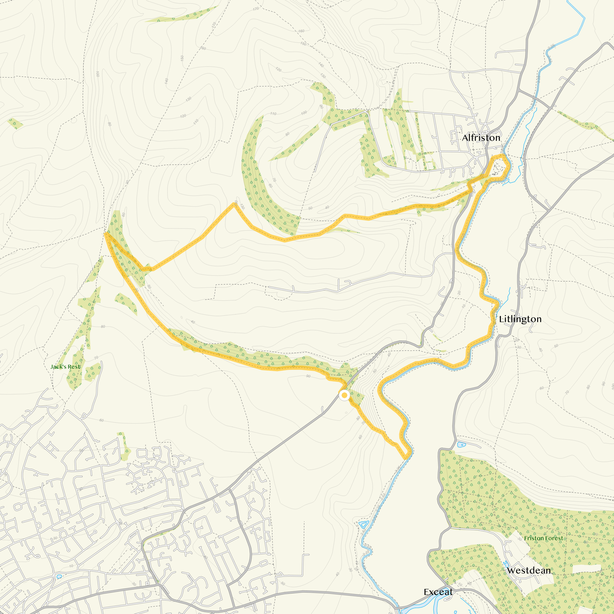
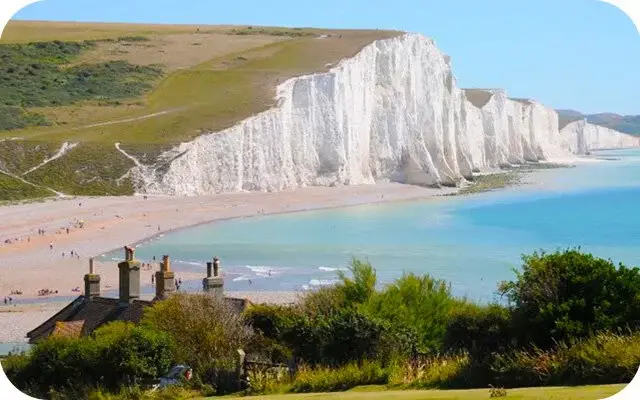
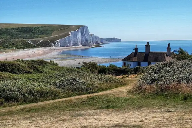
This second route option takes you to the top of the White Horse where you can enjoy the spectacular views, but then it takes you on an almost scramble down the very steep hill to the Cuckmere River.
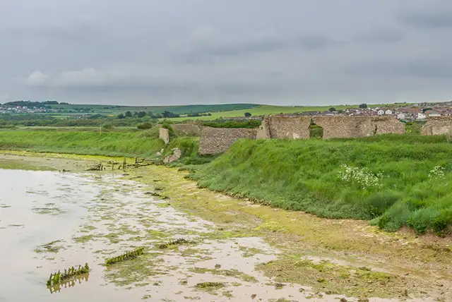
You then follow the winding river for a while before turning back into farmland and the long climb back up to the start point.
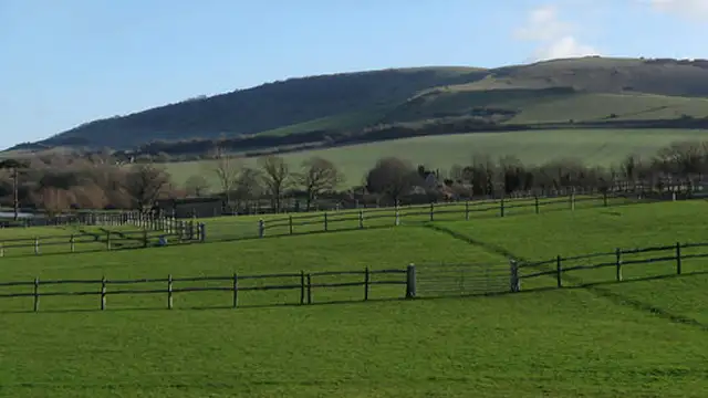
There will be livestock on this route and as we mentioned before, the hills are very steep so please take the appropriate footwear and be very careful, especially in adverse weather.
Download the Sussex Walks App to follow this route with real-time GPS navigation.


At a glance
Based on 2 user ratings
An outstanding walk
Fine with dogs
Reasonable paths
Not suitable for pushchairs
Not wheelchair accessible
No facilities
Take a packed lunch
Spot on
Real feedback from people who have completed this walk using the Sussex Walks app.
First-hand experiences
Amazing walk and breathtaking views!
Beautiful walk. Views, livestock, river, bridges... perfect for a family walk (we went with 5 and 8 yo).
Comments from walkers who have completed the Litlington White Horse Walk 2.
Navigate the walks
The easiest way to follow this route is with the Sussex Walks app. Choose the walk and follow the pointer showing your live position on the route map, so you can see you're on the right path.
The app works without a phone signal, so you can keep following the route wherever the walk takes you.

Same location
Explore the area
Explore the county
See where the walks start, explore the area and tap a pin to find a route for your next adventure.
Search Sussex walks