

Sussex Walks

Charleston House Walks and Map

Charleston House walk, Sussex
Charleston House · Photo: Robin Webster

We have four walks around Charleston House on the Sussex Walks app ranging from 1.25 miles to 8.5 miles.

Download the Sussex Walks App to follow this route with real-time GPS navigation.

Download on the App Store Get it on Google Play

On a computer? Scan the QR code with your phone's camera to get the Sussex Walks app.

Walk information

Charleston House walks


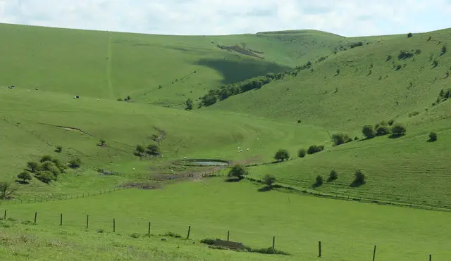
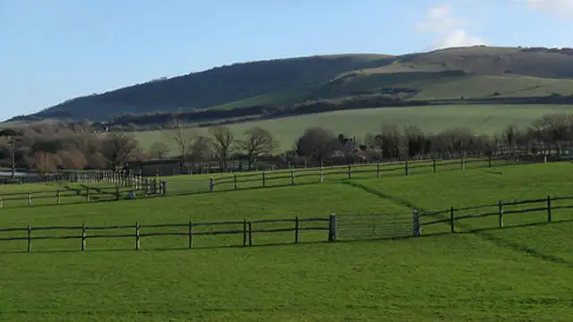
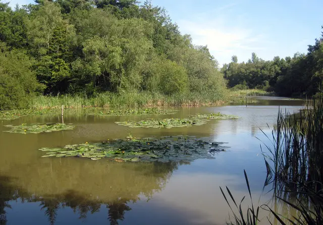
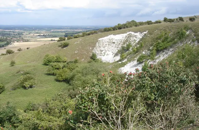
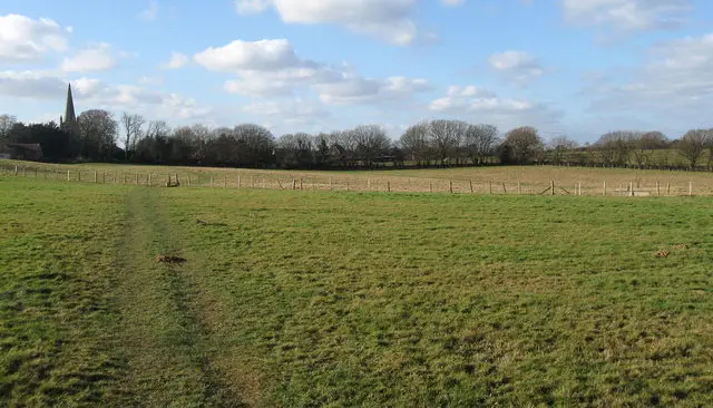
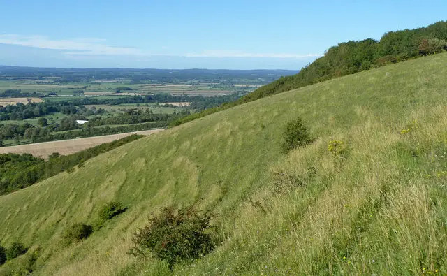
The first walk is a short family-friendly stroll around the countryside surrounding Charleston House. You can visit the house itself for a small fee (check their website charleston.org.uk for details) but the walking is free! This short walk offers open countryside and lovely views over the South Downs.

The second route option is a longer walk from Charleston house. The loop heads west until it reaches the lovely Firle Park and the village of Firle itself. There is then a small detour into the village to find a lovely pub if you want to make this a pub walk.

The third route option is a longer walk and this loop heads east from the Charleston House area to explore more lovely countryside. This walk also visits the small villages of Alciston and Berwick, where there is a small detour to a wonderful pub for refreshments.

The final route option is the longest walk from Charleston House and it is the option for you if you have plenty of time and energy and want an epic adventure in this lovely area of East Sussex countryside. The walk effectively joins together the second and third routes to create a long walk that visits Firle Park, the villages of Firle and Berwick with their lovely pubs to visit.

This Charleston House walk starts at coordinates: 50.842682, 0.115074

Navigate the walks

Sussex Walks App

Follow the Charleston House walk with GPS guidance

It's like sat-nav, but for footpaths.

Choose a walk and follow the pointer showing your live position on the route map, so you always know you're on the right path.

The app works without a phone signal, so you can keep following the route wherever the walk takes you.

Download the app

Download on the App Store Get it on Google Play

On a computer? Scan the QR code with your phone's camera to get the Sussex Walks app.

Sussex Walks app showing the walker's live position on a route map

Designed to be simple

  • Choose a walk and follow the pointer
  • See your live position on the route map
  • Works without a phone signal
  • Includes 400 Sussex walks
  • Free one-month trial
  • Available for iPhone and Android

Explore the area

Nearby walks

Explore the county

Sussex walks map

Map data © OpenStreetMap contributors

Search Sussex walks

See where the walks start, explore the area and tap a pin to find a route for your next adventure.

Search Sussex walks
Expanded route map for Charleston House walks, a 3.5 mile circular walk in Sussex