
Leith Hill Walk and Map
Leith Hill is a popular area for walkers in Surrey. The hill, which stands at 965 feet, is the highest point in Surrey and offers stunning views of the surrounding countryside. Our walks include pretty woodland, streams, a waterfall as well as having a pub on route. With its beautiful scenery and panoramic views, walking at Leith Hill is a wonderful way to spend a day in the fresh air.
Download the Surrey Walks app to see your position on the Leith Hill map as you walk.


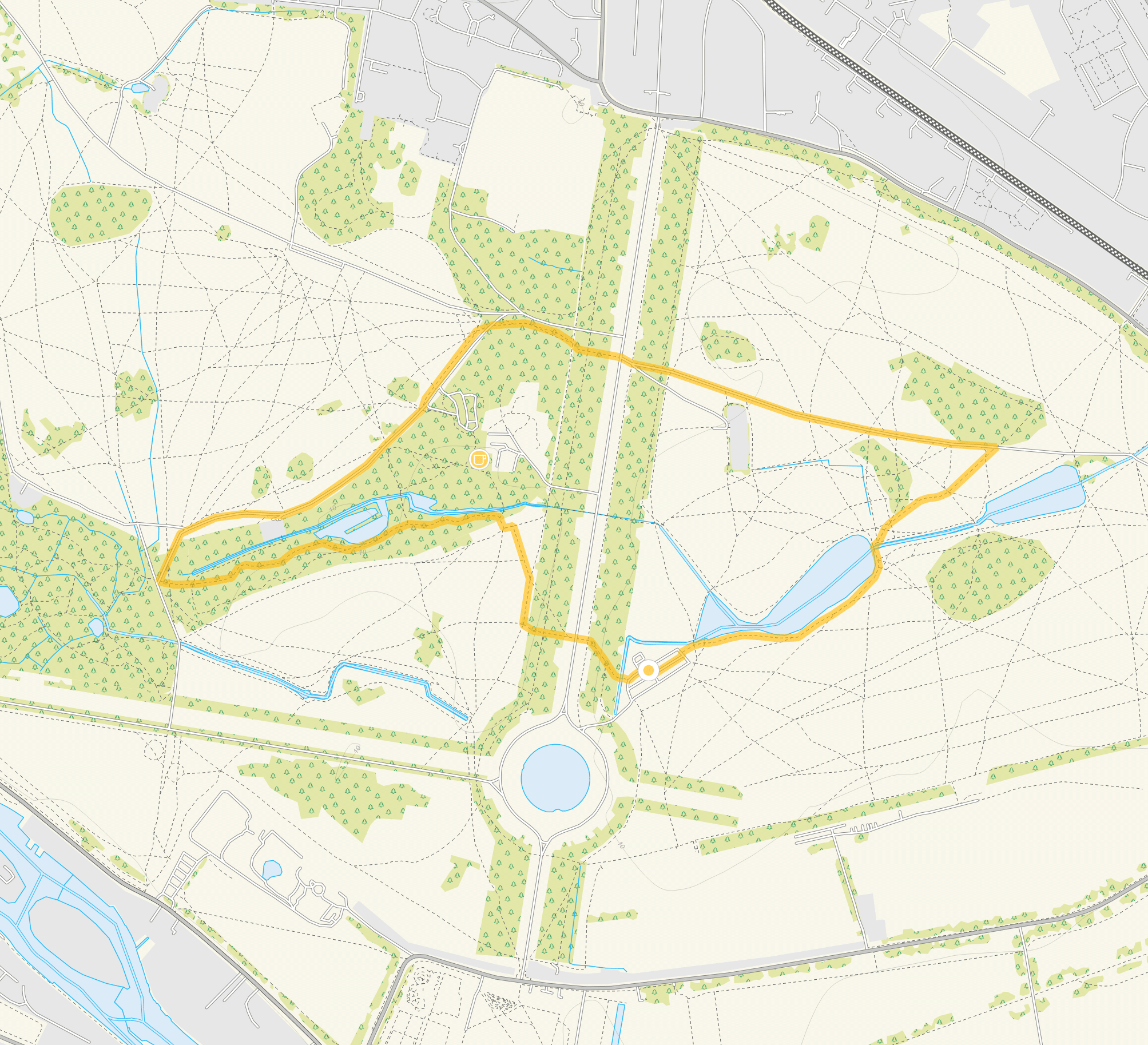
This is a map for Leith Hill walk number 1. To get the app, search ‘Surrey Walks’ on your app store or download the iPhone version here or get the Google play version here.

Photo © Peter Trimming (cc-by-sa/2.0)
Leith Hill woodland walk
1.5 miles
This is a lovely short family-friendly woodland stroll to the summit of Leith Hill where you can enjoy a picnic and some wonderful views. There is some climbing on the route to get to the summit and as with most woodland walks, it can get muddy in wet weather, so please take the appropriate footwear. Refreshments: Leith Hill Tower Cafe
Leith Hill and Tillingbourne waterfall walk
6 miles
If you have a lot more time and energy, this is a much longer walk that fully enjoys this wonderful area of hilly woodland and still culminates in a visit to Leith Hill with it's rewarding views. The extra distance takes you deep into Wotton Common as you work your way up towards Broadmoor and also visits the Tillingbourne waterfall. Then as a nice bonus, it also visits a lovely pub in Coldharbour towards the end of the walk, before the final stretch to the summit of Leith Hill. As with many woodland walks, it can get very muddy after wet weather, so please wear the appropriate clothing and footwear depending on the conditions.
Refreshments: Leith Hill Tower Cafe The Plough Inn, Coldharbour