

Staffordshire Walks

Wombourne Walks & Route Maps

Wombourne walk, Staffordshire
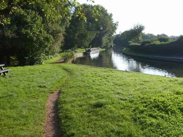
Wombourne · Photo: Gordon Griffiths

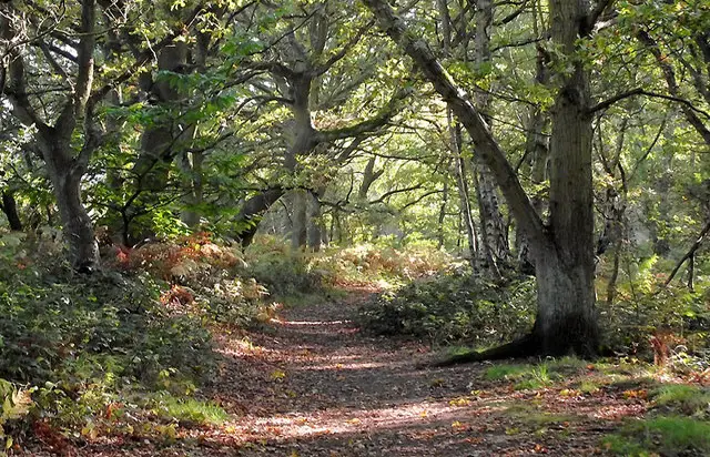
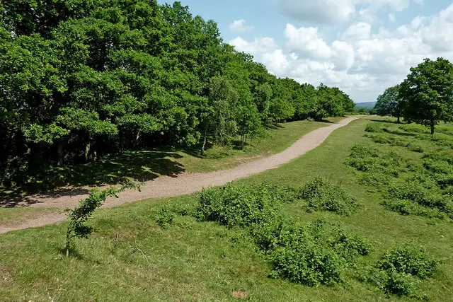
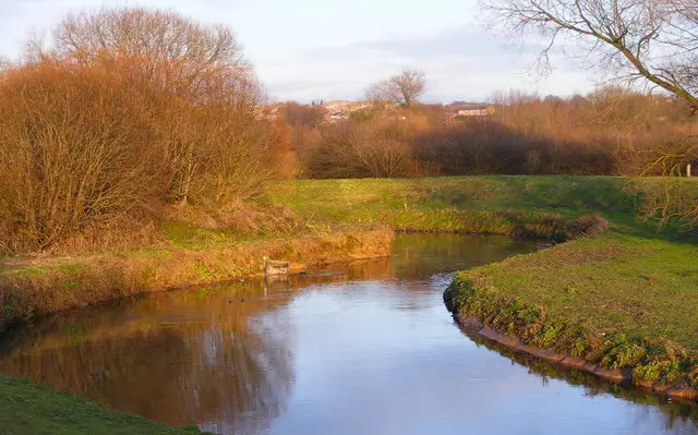
These walks from Wombourne make the most of the beautiful waterways and traffic-free trails around Bratch.

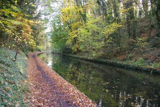
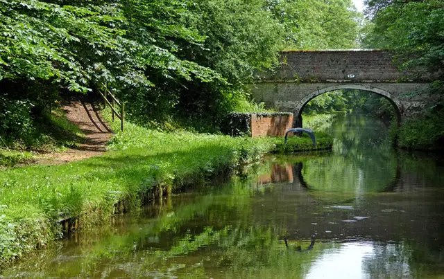
With a choice of shorter loops or a longer combined adventure, the walks follow stretches of the Staffordshire & Worcestershire Canal, the peaceful South Staffs Railway Path and the gentle Wom Brook, with open countryside and woodland along the way.

Whether you’re after a relaxed canalside stroll with a café stop or a longer waterside ramble with a well-earned pub detour, these walks offer plenty of variety and lovely scenery throughout.

Download the Staffordshire Walks App to follow these routes with real-time GPS navigation.

Download on the App Store Get it on Google Play

Walk information

Wombourne Walk 1

Walk distance
2¼ miles
Time
1 hour
Route type
Circular

This first walk is a short walk from the Bratch Picnic site. Head clockwise on this route to get the short section of road walking out of the way first before turning onto the pretty Staffordshire Railway Path at the Cafe.

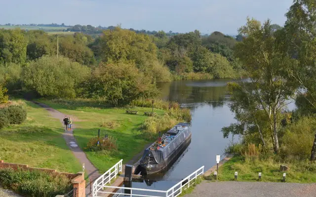
After a nice stretch of walking along the railway path, you'll reach a turning in the path that takes you alongside the Wom Brook for a while before emerging onto the Staffordshire and Worcestershire Canal.

The final stretch is then a pleasant stroll alongside the canal which has an optional little detour taking you to a nice waterside pub for refreshments. If you don't need the pub stop, just ignore the detour and follow the canal all the way back up to the start point.

Wombourne Walk 1 No ratings yet Be the first - rate this walk in the Staffordshire Walks App

Walk information

Wombourne Walk 2

Walk distance
2¼ miles
Time
1 hour
Route type
Circular

This second option is another short walk from Bratch Locks that heads in the opposite direction to the first route. If you head clockwise, it follows the Staffordshire and Worcestershire canal again, but this time with with more open fields and woodland on either side.

The walk then takes you to Awbridge Bridge, where there is some quiet road walking surrounded by open countryside until you reach the railway bridge on Flash Lane which takes you onto the scenic South Staffs railway walk.

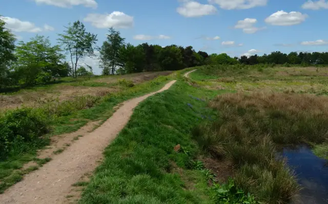
This old railway path will then take you on a peaceful stroll all the way back to Bratch Lane (a road without paths) near the start.

It's not an actual pub on the route as such, but there is a lovely licensed cafe for refreshments towards the end of the route.

Wombourne Walk 2 No ratings yet Be the first - rate this walk in the Staffordshire Walks App

Walk information

Wombourne Walk 3

Walk distance
4 miles
Time
2 hours
Route type
Circular

The third route is basically an extension of the second walk option and it follows the Staffordshire and Worcestershire canal for a longer strtetch with open fields and woodland on either side.

If you head clockwise, the walk takes you on a lovely canal-side stroll past Penn substation and then crosses over the River Stour bringing you out onto a road near Lower Penn.

There are no footpaths on this short section of road as you pass over the bridge or on the lane further up, so please be careful.

You will then join the Staffordshire Railway Path that will take you on a scenic walk all the way back to Bratch Lane at the start. It's not an actual pub on this route as such, but there is a lovely licensed cafe for refreshments towards the end of the route.

Wombourne Walk 3 4.0 Ratings and reviews 1 rating

Based on 1 user rating

Community feedback

Overall rating4.0

A very popular walk

Dog friendly4.0 / 5
Path condition3.0 / 5
Buggy friendly3.0 / 5
Wheelchair friendly2.0 / 5
Toilet facilities1.0 / 5
Pub or café2.0 / 5
Route accuracy4.0 / 5
ClimbingTotally level
LivestockSome livestock
StilesNo stiles
Mud levelMostly dry

Real feedback from people who have completed this walk using the Staffordshire Walks app.

Walk information

Wombourne Walk 4

Walk distance
5½ miles
Time
3 hours
Route type
Circular

This final route is basically one walk that combines all of the options above to create an epic canal-side and railway walk adventure.

One half of the walk is a majestic long stroll alongside the canalside itself, with a pitstop detour to a lovely pub, and the other half of the walk is a meander along the tree-lined Staffordshire Railway Path.

Head clockwise around the route if you want the pub to be towards the end of the walk.

Wombourne Walk 4 4.7 Ratings and reviews 3 ratings · 2 reviews

Based on 3 user ratings

Community feedback

Overall rating4.7

An outstanding walk

Dog friendly2.7 / 5
Path condition4.7 / 5
Buggy friendly2.7 / 5
Wheelchair friendly2.0 / 5
Toilet facilities3.0 / 5
Pub or café4.7 / 5
Route accuracy5.0 / 5
ClimbingSome climbing
LivestockRarely any livestock
StilesNo stiles
Mud levelMay be muddy after wet weather

Real feedback from people who have completed this walk using the Staffordshire Walks app.

First-hand experiences

User reviews

Walker review

Very good majority flat walk , two small climbs , the house on “Dimmingsdale”, thank you for your kindness of water and treats for the dogs, much appreciated by our two Rottweilers Hemsley

Walker review

Very enjoyable walk, house on route has water outside for dogs, route perfect for dog walkers.

Navigate the walks

Staffordshire Walks App

Follow the Wombourne walks with GPS guidance

It's like sat-nav, but for footpaths.

Choose a walk and follow the pointer showing your live position on the route map, so you always know you're on the right path.

The app works without a phone signal, so you can keep following the route wherever the walk takes you.

Download the app

Download on the App Store Get it on Google Play
Staffordshire Walks app showing the walker's live position on a route map

Designed to be simple

  • Choose a walk and follow the pointer
  • See your live position on the route map
  • Works without a phone signal
  • Includes 150+ Staffordshire walks
  • Free one-month trial
  • Available for iPhone and Android

Explore the area

Nearby walks

Explore the county

Staffordshire walks map

Map data © OpenStreetMap contributors

Search Staffordshire walks

See where the walks start, explore the area and tap a pin to find a route for your next adventure.

Search Staffordshire walks
Expanded route map for Wombourne Walk 1, a 2.25 mile circular walk in Staffordshire