

Staffordshire Walks

Mary Stevens Park Walk and Route Map

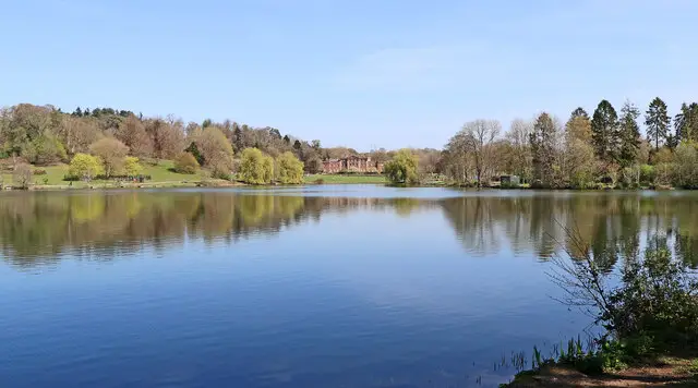
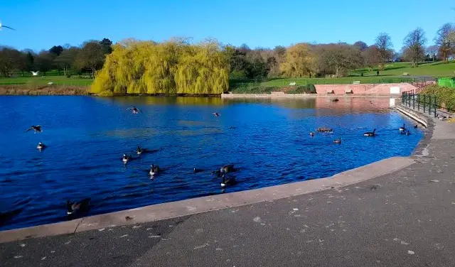
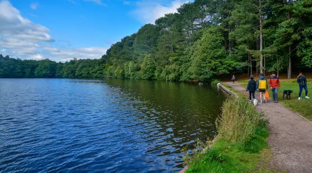
A boating lake with grass and park trees around it on a walk in Mary Stevens Park, Stourbridge
Mary Stevens Park · Photo: P L Chadwick

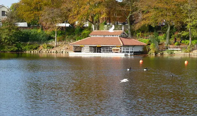
Mary Stevens Park is a public park in the Norton area of Stourbridge, best known for Heath Pool, its boating lake, a traditional bandstand, a café, a playpark and sports facilities, so it works as a relaxed place to get outside for a little while.

Our walk here is a short circular loop of well under a mile, with very little climbing. It starts by No 92 Coffee Lounge, passes Heath Pool and its lakeside, then follows nearby streets back past the war memorial. The Plough & Harrow and the Old White Horse are both close to the route near the end, and OpenStreetMap marks the Battle of Stourbridge Heath (1644) on the map at the start point.

It makes a good choice if you want a quick stroll, a break from a day out in Stourbridge or something easy to fit in around a coffee. For more walks across the county, take a look at the Staffordshire Walks app.

Download the Staffordshire Walks App to follow this route with real-time GPS navigation.

Download on the App Store Get it on Google Play

On a computer? Scan the QR code with your phone's camera to get the Staffordshire Walks app.

Mary Stevens Park walk 01

Mary Stevens Park Short Walk

Walk distance
¾ miles
Time
30 mins
Route type
Circular

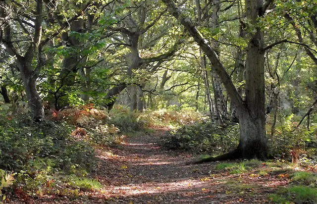
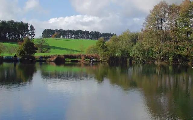
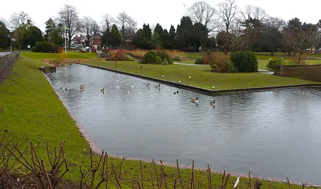
A short, gentle loop around Mary Stevens Park in the Norton area of Stourbridge, with very little climbing along the way. The star of the walk is Heath Pool, the park's boating lake, which the route runs right beside, and there are trees along the way to give it a leafy feel.

The walk starts close to No 92 Coffee Lounge and passes the pool before heading back towards the war memorial. The Plough & Harrow and the Old White Horse are both a short step from the route near the end, so it suits a quick leg-stretch with a drink afterwards.

Mary Stevens Park Short Walk No ratings yet Be the first - rate this walk in the Staffordshire Walks App

Navigate the walks

Staffordshire Walks App

Follow the Mary Stevens Park walk with GPS guidance

It's like sat-nav, but for footpaths.

Choose a walk and follow the pointer showing your live position on the route map, so you always know you're on the right path.

The app works without a phone signal, so you can keep following the route wherever the walk takes you.

Download the app

Download on the App Store Get it on Google Play

On a computer? Scan the QR code with your phone's camera to get the Staffordshire Walks app.

Staffordshire Walks app showing the walker's live position on a route map

Designed to be simple

  • Choose a walk and follow the pointer
  • See your live position on the route map
  • Works without a phone signal
  • Includes 150+ Staffordshire walks
  • Free one-month trial
  • Available for iPhone and Android

Explore the area

Nearby walks

Explore the county

Staffordshire walks map

Map data © OpenStreetMap contributors

Search Staffordshire walks

See where the walks start, explore the area and tap a pin to find a route for your next adventure.

Search Staffordshire walks
Expanded route map for Mary Stevens Park Short Walk, a 0.75 mile circular walk in Staffordshire