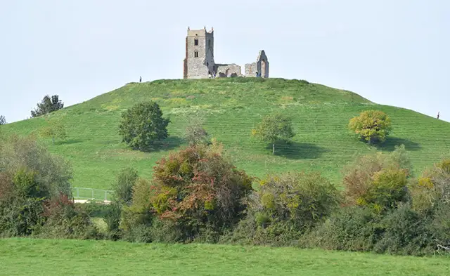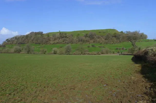


Somerset Walks

King Charles III England Coast Path in Somerset

Map data © OpenStreetMap contributors

Explore the beautiful Somerset coastline with our collection of walks along the King Charles III England Coast Path in Somerset. From the dramatic cliffs of Brean Down and the wildlife-rich wetlands of Steart Marshes to the rocky beaches of Kilve and the historic harbour town of Watchet, these routes showcase some of Somerset’s finest coastal scenery. We've put together a selection of circular walks of varying lengths for you to enjoy.

Download the Somerset Walks App to follow these routes with real-time GPS navigation.

Download on the App Store Get it on Google Play

On a computer? Scan the QR code with your phone's camera to get the Somerset Walks app.

Walk details

Brean Down Walks
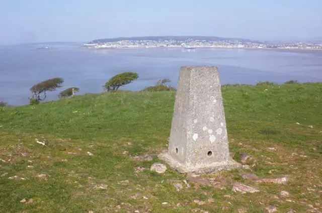
Brean Down Walks, Somerset
Walk distance
2¾ - 7¼ miles
Time
1.5 - 3.5 hours
Route type
Circular

The walk along Brean Down, a natural pier on the Somerset coastline, offers dramatic views of cliffs and sea, with panoramic sights of Berrow Sands and Weston-super-Mare from the trig point.

Although steep at first, it is a rewarding route with a beachside café at the end. Brean Down, standing 97 meters high and extending into the Bristol Channel, is rich in history, from Iron Age defences to WWII weapon testing.

It's diverse wildlife includes birds, butterflies, and rare plants. The southern slopes host unique flora, while the northern slopes display beautiful bluebells in spring.
View the walks and route maps

Walk details

Apex park Walk

Apex park Walk, Somerset
Walk distance
1½ miles
Time
30 mins
Route type
Circular

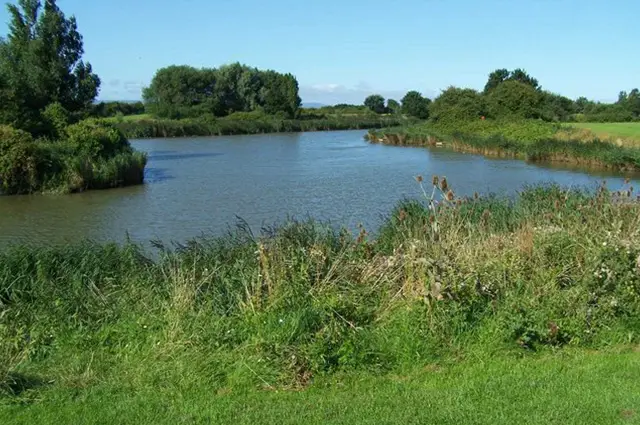
This easy circular walk around Apex park near Burnham-on-sea is a great walk to choose if you have smaller children or if you enjoy a lakeside walk with wildlife.

Apex Park is an urban park which was formerly a clay pit. The lake is home to a variety of birds and wildlife and there is also a play area, skate park and outdoor gym.

View the walk and route map
Stockland Marshes Walk, Somerset
Walk distance
6¾ miles
Time
3.5 hours
Route type
Circular

This walk explores the Stockland Marshes at WWT Steart, with the option to extend into the village of Stockland Bristol.

Across the marshes, the route links into the King Charles III England Coast Path, passing through open areas such as Catsford and Wall Common.

It’s a great place for wildlife, particularly birdlife, with plenty of chances to spot different species along the way.

View the walk and route map
Steart Marshes Walks, Somerset
Walk distance
3 - 9¼ miles
Time
1.5 - 4.5 hours
Route type
Circular

This is a short, easy walk through the stunning saltmarsh and freshwater wetlands of Steart Marshes.

Ideal for a peaceful stroll, it offers plenty of wildlife to spot, from wetland birds to wildflowers, all set against the beautiful backdrop of the Bridgwater Bay National Nature Reserve.

Perfect for a quick visit and nature lovers alike.

View the walks and route maps

Walk details

Lilstock Walks

Lilstock Walks, Somerset
Walk distance
2 - 4 miles
Time
1 - 2 hours
Route type
Circular

This short Lilstock route is our first walk here and it's a peaceful coastal stroll, ideal for a quick sea air escape.

It follows part of the Castles and Coast Way, linking this quiet stretch of shoreline to a wider network of historic and coastal paths.

The route also passes the edge of the Hinkley Point site, offering an unusual contrast between open countryside and large-scale modern industry.

View the walks and route maps

Walk details

Kilve Walk

Kilve Walk, Somerset
Walk distance
3¼ miles
Time
1.5 hours
Route type
Circular

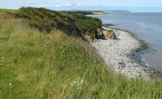
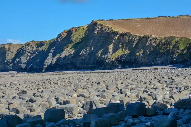
This scenic walk begins at Kilve Beach car park, where you'll start by exploring the rocky beach which has become known as the Jurassic coast on the Bristol Channel.

It's a great spot to search for fossils and after enjoying the coastal treasures, the walk takes you up onto the cliffs, offering dramatic views over the Bristol Channel.

From there, the route heads inland, leading you through open countryside. We've added a short detour to visit the Church of the Blessed Virgin Mary in East Quantoxhead, a charming medieval church.

On your way back, stop by the Chantry Tea Gardens for refreshments before returning to the car park to complete the walk.

View the walk and route map

Walk details

Watchet Walks

Watchet Walks, Somerset
Walk distance
1 - 5½ miles
Time
30 mins - 3 hours
Route type
Circular

This is a lovely short stroll around the harbour town of Watchet.

Theres a little detour to the clifftop overlooking Helwell Bay and a couple of detours out onto the Eastern and Western piers around the harbour.

You'll also find lots of eateries for refreshments in the town itself as you walk.

View the walks and route maps

Navigate the walks

Somerset Walks App

Download the Somerset Walks app

It's like sat-nav, but for footpaths.

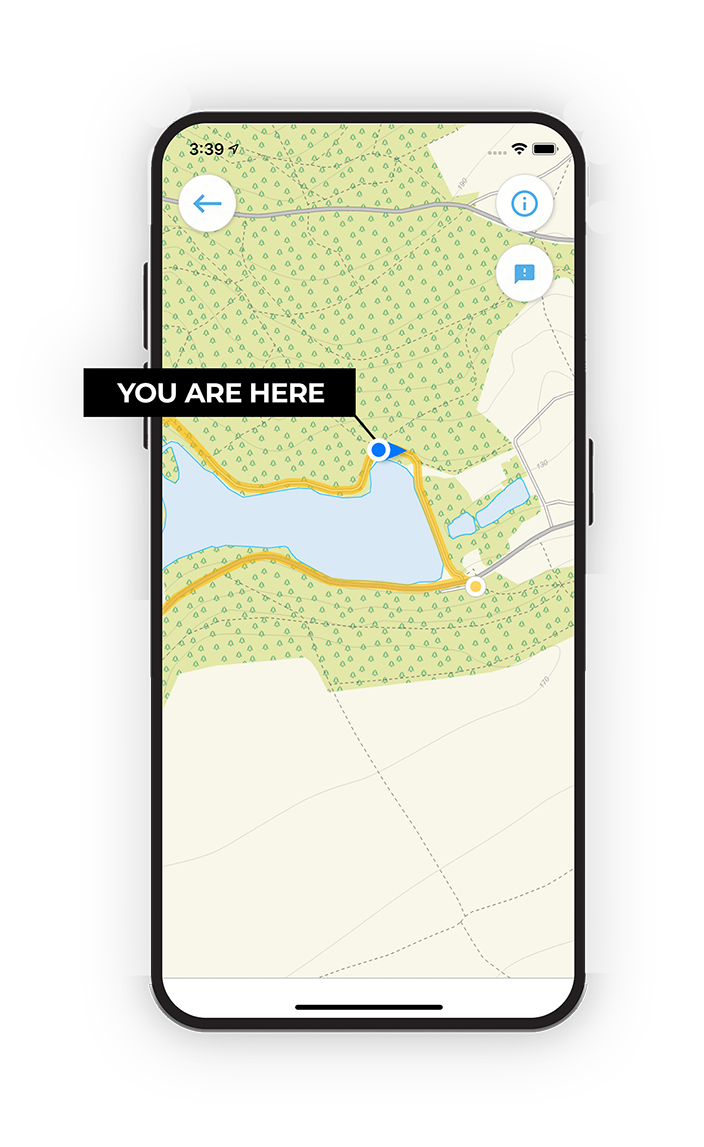
Choose a walk and follow the pointer showing your live position on the route map, so you always know you're on the right path.

The app works without a phone signal, so you can keep following the route wherever the walk takes you.

Download the app

Download on the App Store Get it on Google Play

On a computer? Scan the QR code with your phone's camera to get the Somerset Walks app.

Somerset Walks app showing the walker's live position on a route map

Designed to be simple

  • Choose a walk and follow the pointer
  • See your live position on the route map
  • Works without a phone signal
  • Includes 250 Somerset walks
  • Free one-month trial
  • Available for iPhone and Android

Explore the county

Somerset walks map

Map data © OpenStreetMap contributors

Search Somerset walks

See where the walks start, explore the area and tap a pin to find a route for your next adventure.

Search Somerset walks
Expanded route map for Brean Down Walks