
At a glance
Stockland Marshes Walk
- Distance
- 6.75 miles
- Estimated time
- 3.5 hours
- Route type
- Circular
- GPS app guided
- Yes
- Parking
- Free parking at start 51.20217, -3.05874
- Characteristics
- Water, Pub
Somerset Walks

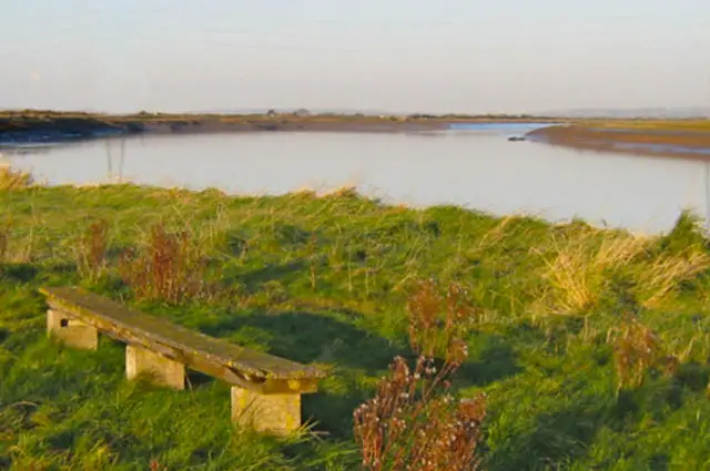
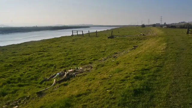
This walk takes you across the open marshland at Stockland Marshes within WWT Steart, following simple coastal paths across flat, exposed ground.
It also connects with the King Charles III England Coast Path, with regular chances to spot a variety of birdlife along the way.
Download the Somerset Walks App to follow this route with real-time GPS navigation.


On a computer? Scan the QR code with your phone's camera to get the Somerset Walks app.
At a glance
The walk
This walk explores the Stockland Marshes at WWT Steart, with the option to extend into the village of Stockland Bristol.
Across the marshes, the route links into the King Charles III England Coast Path, passing through open areas such as Catsford and Wall Common.
It’s a great place for wildlife, particularly birdlife, with plenty of chances to spot different species along the way.
Time for a stop
Navigate the walks
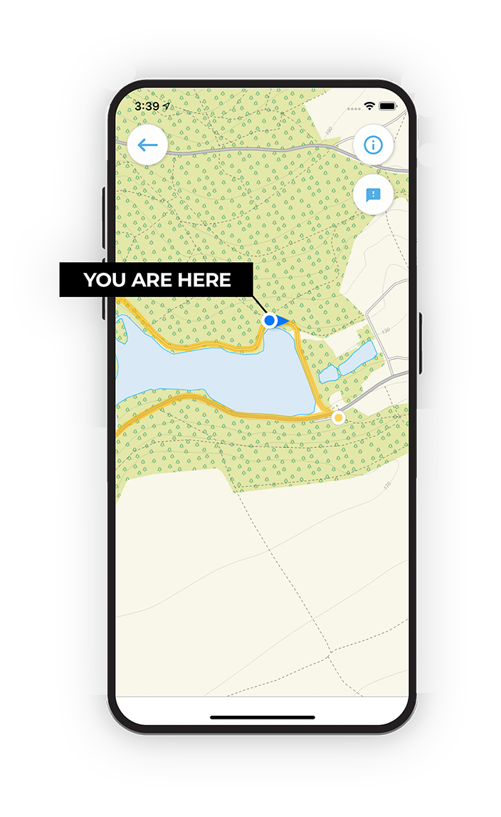
The easiest way to follow this route is with the Somerset Walks app. Choose the walk and follow the pointer showing your live position on the route map, so you can see you're on the right path.
The app works without a phone signal, so you can keep following the route wherever the walk takes you.
On a computer? Scan the QR code with your phone's camera to get the Somerset Walks app.
Explore the area
 3-9.25 miles
 2.75-7.25 miles
 1.5 miles
 3.25 miles
 2-4 miles
 1.75 miles
 3.25 miles
 3.25 miles
 1.25-4 miles
 4.75 miles
 1-4 miles
 1.5-5.25 miles
 2.25-9 miles
 2.75-5.25 miles
 2.75-7.25 miles
Explore the county
See where the walks start, explore the area and tap a pin to find a route for your next adventure.
Search Somerset walks