
At a glance
Iffley Meadows Walk
- Distance
- 2.5 miles
- Estimated time
- 1 hour
- Route type
- Circular
- GPS app guided
- Yes
- Parking
- Roadside parking at start 51.72794, -1.23786
- Characteristics
- Woodland, Water, Countryside
Oxfordshire Walks
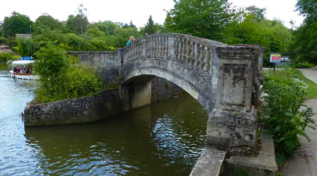
This walk is a gentle, family-friendly route around Iffley Meadows and Longbridge Nature Park near Oxford.
It combines open riverside meadows, woodland paths, and a peaceful stretch along the River Thames.
Download the Oxfordshire Walks App to follow this route with real-time GPS navigation.


At a glance
The walk
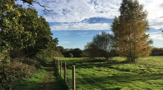
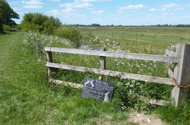
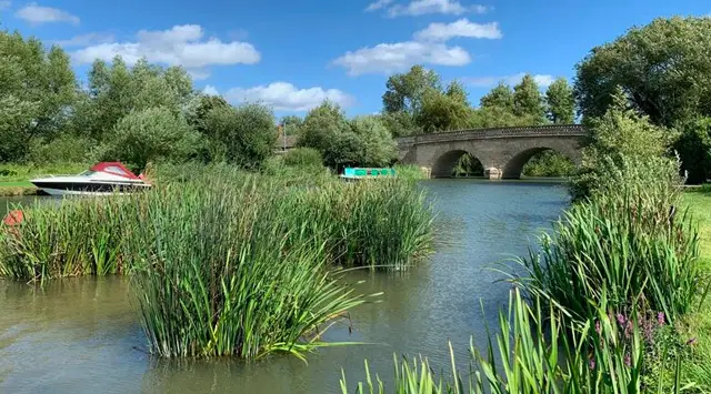
This is a lovely family-friendly wander around the pretty Iffley Meadows and Longbridge Nature Park.
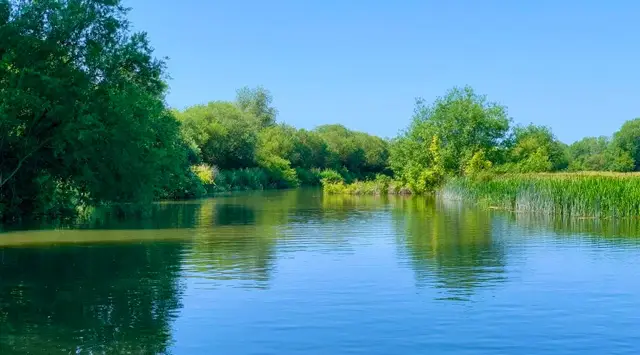
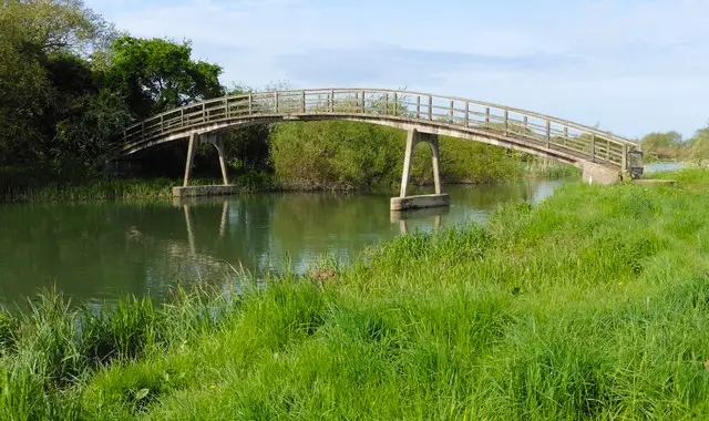
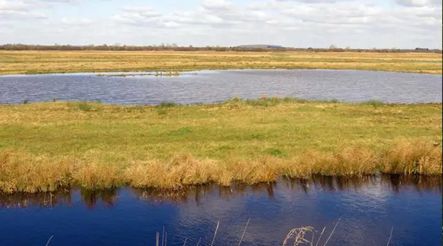
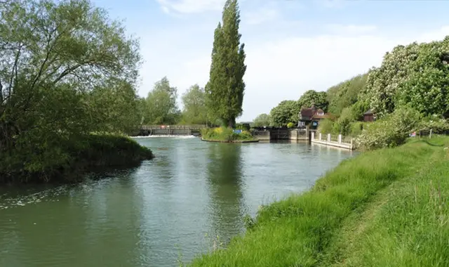
You'll enjoy lots of nature, the open meadows, some woodland walking and a long stretch of roaming alongside the River Thames.
Based on 4 user ratings
A very popular walk
Fine with dogs
Clear and easy
Possible with care
Very limited access
No facilities
Take a packed lunch
Spot on
Real feedback from people who have completed this walk using the Oxfordshire Walks app.
First-hand experiences
A LOT of bikes. Had to keep stopping to get out of their way.
The meadows were lovely and quiet. No livestock
Lovely and peaceful to see Oxford from this side
Comments from walkers who have completed the Iffley Meadows walk.
Navigate the walks
The easiest way to follow this route is with the Oxfordshire Walks app. Choose the walk and follow the pointer showing your live position on the route map, so you can see you're on the right path.
The app works without a phone signal, so you can keep following the route wherever the walk takes you.

Explore the area
 3.5 miles
 3.5 miles
 4.5 miles
 3.75 miles
 0.5-3 miles
 1.75 miles
 4 miles
 2-3.75 miles
 4.5 miles
 5.75-7.25 miles
 8.25 miles
 3.75-5.5 miles
 5.75-6.75 miles
 10.75 miles
 4.25 miles
Explore the county
See where the walks start, explore the area and tap a pin to find a route for your next adventure.
Search Oxfordshire walks