

Kent Walks

Otford Walks & Route Maps

Otford walk, Kent
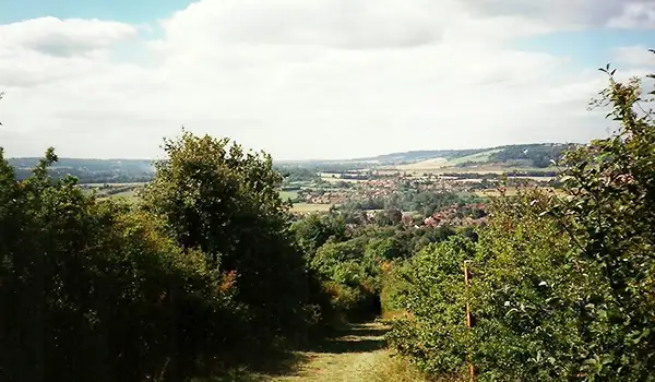
Otford · Photo: Roger Smith

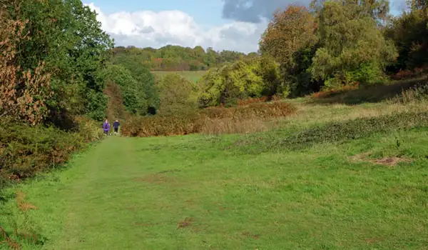
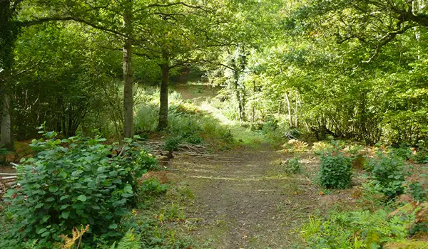
These walks explore a beautiful stretch of the North Downs around Otford, where open chalk ridges, quiet valleys, and pockets of woodland come together in classic Kent countryside.

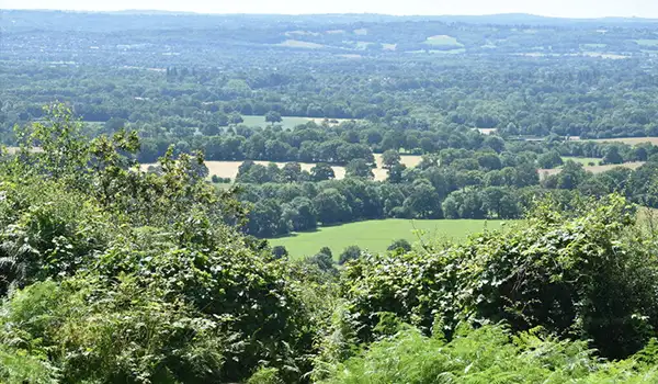
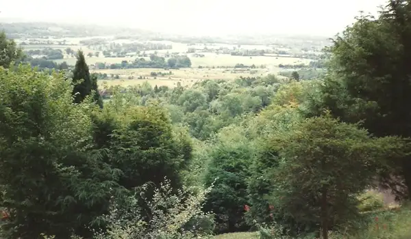
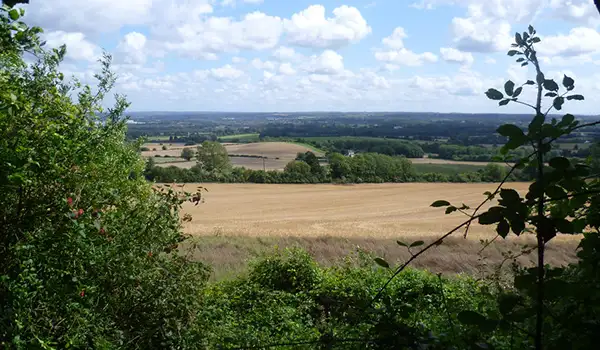
Both routes make their way onto the North Downs Way, with wide, uplifting views from Otford Mount across the Darent Valley and the surrounding hills.

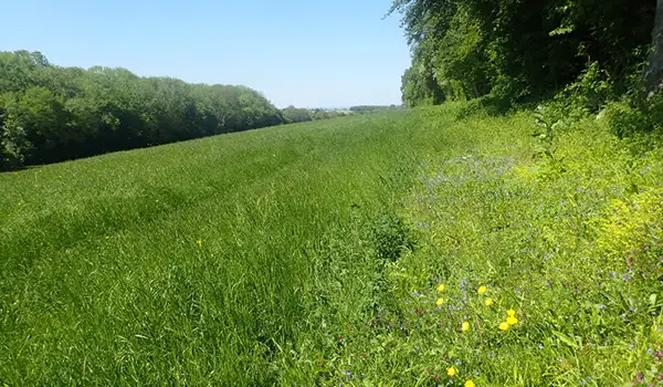
The longer of the walks continues further along the ridge, passing through the flower-rich slopes of Kemsing Down Nature Reserve before dropping into the shaded paths of Great Wood.

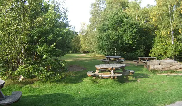
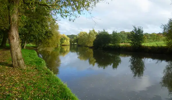
With a satisfying mix of open views, wildlife, and woodland paths, these walks offer a varied and rewarding way to explore this scenic part of the Kent Downs.

Download the Kent Walks App to follow these routes with real-time GPS navigation.

Download on the App Store Get it on Google Play

Walk information

Otford Walk 1

Walk distance
3¼ miles
Time
1.5 hours
Route type
Circular

This first Otford walk climbs onto the North Downs Way, following one of Kent’s most scenic ridges.

The route over Otford Mount rewards with sweeping views across the Darent Valley and the village below, framed by rolling chalk hills and open sky.

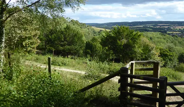
The trail also passes through the Kent Downs Area of Outstanding Natural Beauty, where chalk grassland and hedgerows support seasonal wildflowers and birds.

Otford Walk 1 4.0 Ratings and reviews 1 rating

Based on 1 user rating

Community feedback

Overall rating4.0

A very popular walk

Dog friendly3.0 / 5
Path condition4.0 / 5
Buggy friendly2.0 / 5
Wheelchair friendly1.0 / 5
Toilet facilities1.0 / 5
Pub or café5.0 / 5
Route accuracy3.0 / 5
ClimbingPlenty of climbing
LivestockAnimals everywhere
StilesA stile or two
Mud levelMay be muddy after wet weather

Real feedback from people who have completed this walk using the Kent Walks app.

Walk information

Otford Walk 2

Walk distance
7¼ miles
Time
3.5 hours
Route type
Circular

This much longer Otford route follows the North Downs Way across open ridges and wooded slopes, offering a fuller taste of Kent’s chalk countryside.

From Otford Mount, the path reveals sweeping views over the Darent Valley before heading through the wildflower-rich grasslands of Kemsing Down Nature Reserve.

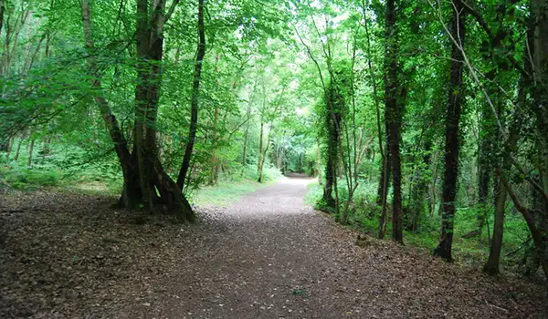
Further on, the route dips into the calm shade of Great Wood, where ancient trees and bluebells hint at centuries of woodland history.

It’s a rewarding, varied walk that blends open landscapes, wildlife, and peaceful forest paths - a classic North Downs adventure with plenty of scenery along the way.

Otford Walk 2 No ratings yet Be the first - rate this walk in the Kent Walks App

Navigate the walks

Kent Walks App

Follow the Otford walks with GPS guidance

It's like sat-nav, but for footpaths.

Choose a walk and follow the pointer showing your live position on the route map, so you always know you're on the right path.

The app works without a phone signal, so you can keep following the route wherever the walk takes you.

Download the app

Download on the App Store Get it on Google Play
Kent Walks app showing the walker's live position on a route map

Designed to be simple

  • Choose a walk and follow the pointer
  • See your live position on the route map
  • Works without a phone signal
  • Includes 150 Kent walks
  • Free one-month trial
  • Available for iPhone and Android

Explore the area

Nearby walks

Explore the county

Kent walks map

Map data © OpenStreetMap contributors

Search Kent walks

See where the walks start, explore the area and tap a pin to find a route for your next adventure.

Search Kent walks
Expanded route map for Otford Walk 1, a 3.25 mile circular walk in Kent