

Gloucestershire Walks

Paxford Walks and Route Maps

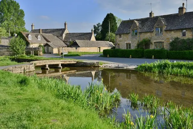
Cotswold stone houses along a quiet village street in Paxford, Gloucestershire
Paxford · Photo: Adrian Beney

Paxford is a small Cotswold village in the parish of Blockley, in the north of Gloucestershire. It sits between Chipping Campden and Moreton-in-Marsh, and it is a quiet base for a short stroll in typical Cotswold countryside.

The village has a main street of plain stone houses, and sits on a hill above the Cotswold Line railway, which runs between Oxford and Hereford. Historically it belonged to the manor of Blockley, which was held by the Bishops of Worcester, and until 1931 Blockley was an exclave of Worcestershire. Today the village is perhaps best known for its pub, the Churchill Arms, which serves British classics and real ales.

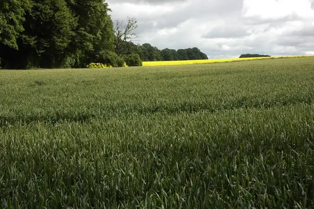
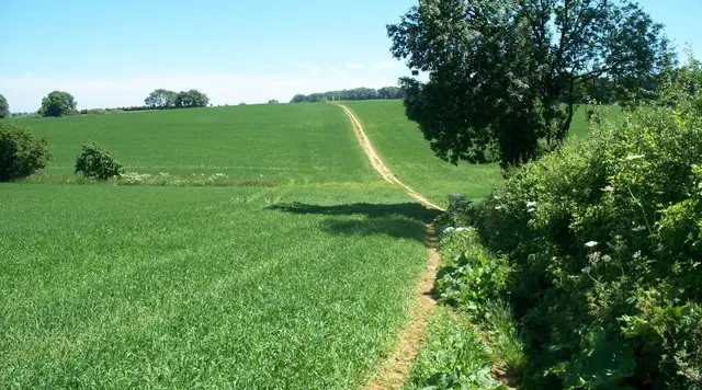
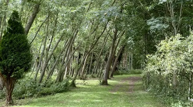
The Paxford walk on the app is a short circuit of about 1.2 miles that mainly explores the patch of woodland outside the village. It is almost flat, with barely any climbing, which makes it a good choice if you want a gentle leg-stretch, a walk with children or a short outing before or after a meal in the village. Moreton-in-Marsh station is about four miles away if you are arriving by train.

Download the Gloucestershire Walks App to follow this route with real-time GPS navigation.

Download on the App Store Get it on Google Play

On a computer? Scan the QR code with your phone's camera to get the Gloucestershire Walks app.

Paxford walk 01

Paxford Short Walk

Walk distance
1¼ miles
Time
30 mins
Route type
Circular

A short, easy-going circuit around the woodland next to Paxford, a small Cotswold village in the parish of Blockley, between Chipping Campden and Moreton-in-Marsh.

The ground is almost level throughout, with only the gentlest of rises, so it suits an unhurried stroll rather than a day's hiking.

Paxford has a main street of plain stone houses, and the village pub, the Churchill Arms, is well regarded for British food and real ales.

The walk makes a pleasant leg-stretch before or after a meal, or a quick taste of the quiet countryside around the village.
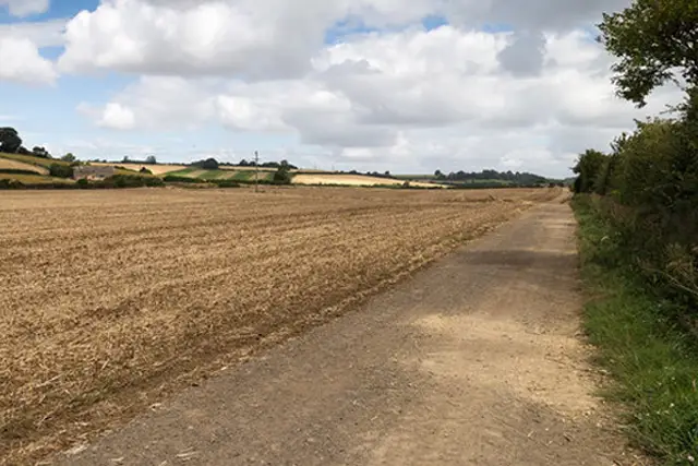
Paxford Short Walk View and rate this walk in the Gloucestershire Walks App

Navigate the walks

Gloucestershire Walks App

Follow the Paxford walk with GPS guidance

It's like sat-nav, but for footpaths.

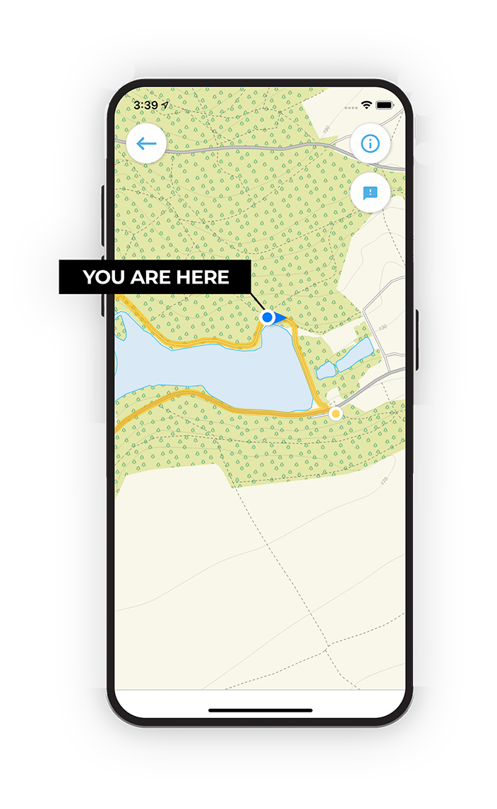
Choose a walk and follow the pointer showing your live position on the route map, so you always know you're on the right path.

The app works without a phone signal, so you can keep following the route wherever the walk takes you.

Download the app

Download on the App Store Get it on Google Play

On a computer? Scan the QR code with your phone's camera to get the Gloucestershire Walks app.

Gloucestershire Walks app showing the walker's live position on a route map

Designed to be simple

  • Choose a walk and follow the pointer
  • See your live position on the route map
  • Works without a phone signal
  • Includes 200 Gloucestershire walks
  • Free one-month trial
  • Available for iPhone and Android

Explore the area

Nearby walks

Explore the county

Gloucestershire walks map

Map data © OpenStreetMap contributors

Search Gloucestershire walks

See where the walks start, explore the area and tap a pin to find a route for your next adventure.

Search Gloucestershire walks
Expanded route map for Paxford Short Walk, a 1.25 mile circular walk in Gloucestershire