

Derbyshire Walks

Tissington Trail and Route Map

Tissington Trail walk, Derbyshire
Tissington Trail · Photo: Bill Boaden

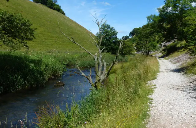
The Tissington Trail runs for 13 miles along the line of the old Ashbourne to Buxton railway. It starts in the market town of Ashbourne and climbs steadily to Parsley Hay, high on the White Peak plateau.

We’ve broken the full Tissington Trail into four manageable stages, so you can choose to walk individual sections or follow all four routes to complete the entire 13-mile trail.

The London and North Western Railway opened the line in 1899, and it closed in the 1960s. In 1971 it became one of Britain's first railway paths. From Ashbourne you walk through the 378-yard tunnel under the town, then through wooded cuttings past Thorpe Cloud, the pointed hill at the entrance to Dovedale. Next comes Tissington, a lovely estate village with a Jacobean hall, a Norman church, a duck pond and a tea room.

It's famous for decorating its wells with flower-petal pictures every Ascension Day.

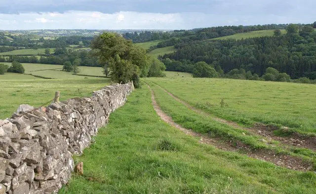
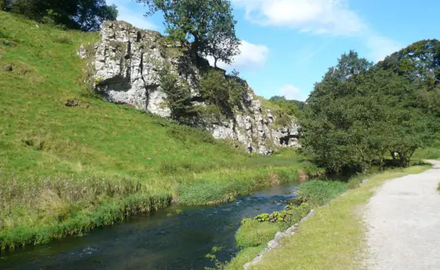
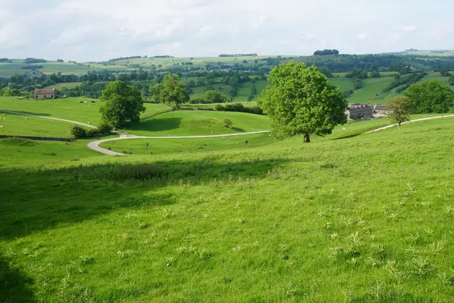
North of Tissington the landscape opens out into classic limestone country of drystone walls, wildflower verges and big skies. The trail passes the old station at Alsop en le Dale and crosses Alsop Moor, then runs through the deep, rock-walled Coldeaton cutting.

High embankments give wide views towards the Dove valley. At the old Hartington station the restored signal box is still in place, and the village is about a mile and a half away if you want a detour for tea or cheese.

The last stretch climbs past Ruby Wood to Parsley Hay, more than 1,000 feet above sea level, where the trail meets the High Peak Trail. The gentle gradient and firm surface make it suitable for all abilities, and there are car parks, picnic sites and toilets along the way.

Download the Derbyshire Walks App to follow these routes with real-time GPS navigation.

Download on the App Store Get it on Google Play

On a computer? Scan the QR code with your phone's camera to get the Derbyshire Walks app.

Walk information

Tissington Trail Walk 1

Walk distance
3¾ miles
Time
2 hours
Route type
Linear

The Tissington Trail starts just outside the market town of Ashbourne from the Mapleton Lane car park which boasts a café and cycle hire.

The trail then follows the line of the old London and North Western Railway, which opened in 1899 and closed to freight in 1963. In 1971 it became one of the first railway paths in the country.

The gradient is gentle but it climbs steadily all the way. The trail passes through wooded cuttings and crosses Bentley Brook, heading north with open views of rolling farmland.

Soon the pointed and dramatic limestone hill of Thorpe Cloud rises on your left, marking the entrance to Dovedale and the stage then ends at the old Tissington station, which has a car park, toilets and a picnic area.

From there it's an optional short walk into Tissington, a picture-perfect estate village with a Jacobean hall, a Norman church, a duck pond and a tea room.

To continue the trail, you can now start following Stage 2.

Walk information

Tissington Trail Walk 2

Walk distance
4 miles
Time
2 hours
Route type
Linear

Stage 2 takes the trail to the North of Tissington where it climbs gently onto higher, more open ground.

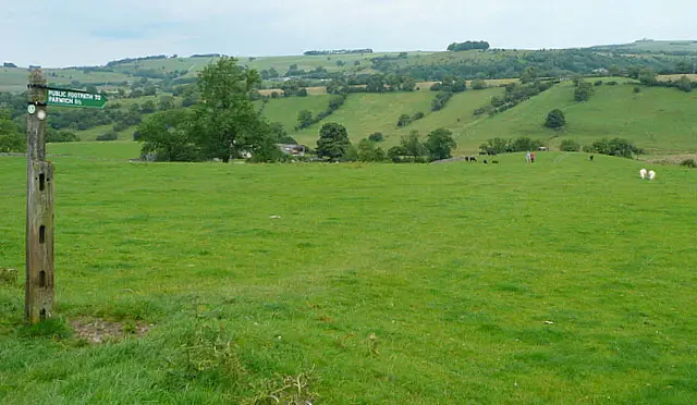
The wooded lowland gives way to the classic White Peak landscape of drystone walls, limestone pastures and big skies and the track runs on embankments and through shallow cuttings. On a clear day the views across the plateau stretch for miles.

The trail continues past Alsop en le Dale until you reach Crosslow Lane, where a path drops down to a lay-by on the main road. This is a useful access point, and a good place to finish or start this stage.

To continue the trail, you can now start following Stage 3.

Walk information

Tissington Trail Walk 3

Walk distance
3½ miles
Time
2 hours
Route type
Linear

From Alsop Moor the third stage of the trail heads through some examples of its most dramatic railway engineering.

The best example is the deep Coldeaton cutting, where the railway builders blasted a route through solid limestone. Its rock walls now carry ferns, mosses and wild flowers.

Between the cuttings, high embankments give wide views west towards the hidden valleys of the River Dove, and over the drystone-walled fields around Biggin.

The stage ends at the old Hartington station. Its restored LNWR signal box is still in place and is a favourite photo stop, and the site has a car park, toilets and a picnic area.

Hartington village itself is about a mile and a half away. It's one of the prettiest villages in the Peak District, with a duck pond, tea rooms and a cheese shop, and it's well worth the short detour down the lanes.

To continue the trail, you can now start following Stage 4.

Walk information

Tissington Trail Walk 4

Walk distance
2 miles
Time
1 hour
Route type
Linear

The fourth and last stage of the Tissington Trail keeps climbing across the limestone plateau.

The landscape feels high and open on this stage, with long views over a patchwork of walled fields, farmsteads and small plantations.

The trail finally ends at Parsley Hay where the old Ashbourne line joined the Cromford and High Peak Railway, and the Tissington Trail meets the High Peak Trail.

Parsley Hay has a car park, toilets, a café, visitor information and cycle hire, so it's a natural place to finish.

These Tissington Trail walks start at grid reference: 53.019372,-1.739777

Navigate the walks

Derbyshire Walks App

Follow the Tissington Trail walks with GPS guidance

It's like sat-nav, but for footpaths.

Choose a walk and follow the pointer showing your live position on the route map, so you always know you're on the right path.

The app works without a phone signal, so you can keep following the route wherever the walk takes you.

Download the app

Download on the App Store Get it on Google Play

On a computer? Scan the QR code with your phone's camera to get the Derbyshire Walks app.

Derbyshire Walks app showing the walker's live position on a route map

Designed to be simple

  • Choose a walk and follow the pointer
  • See your live position on the route map
  • Works without a phone signal
  • Includes 250 Derbyshire walks
  • Free one-month trial
  • Available for iPhone and Android

Explore the area

Nearby walks

Explore the county

Derbyshire walks map

Map data © OpenStreetMap contributors

Search Derbyshire walks

See where the walks start, explore the area and tap a pin to find a route for your next adventure.

Search Derbyshire walks
Expanded route map for Tissington Trail Walk 1, a 3.75 mile linear walk in Derbyshire