
At a glance
Long Route
- Distance
- 5.5 miles
- Estimated time
- 2.5 hours
- Route type
- Circular
- GPS app guided
- Yes
- Parking
- Free parking at start 51.04082, -1.52319
- Characteristics
- Woodland, Countryside
Wiltshire Walks
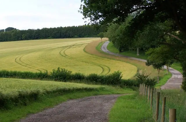
This walk explores a lovely mix of open farmland, woodland and peaceful country lanes around Stonymarsh.
A highlight is the stretch along the Test Way, where the clear waters of the River Test bring a calm, chalk-stream atmosphere to an otherwise varied and gently rolling countryside route.
Download the Wiltshire Walks App to follow this route with real-time GPS navigation.


At a glance
The walk
This varied countryside route explores the quiet lanes, fields and woodland around Stonymarsh close to the Hampshire/Wiltshire county border.
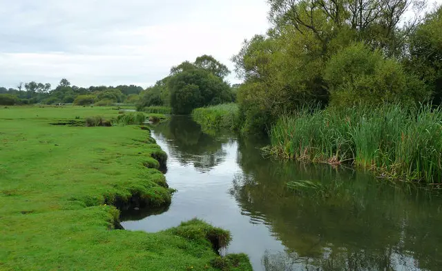
A stretch of the Test Way brings the walk alongside the clear, chalk-fed waters of the River Test, adding a peaceful riverside feel to the outing.
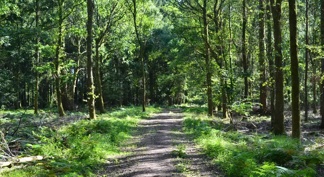
The route combines open farmland, shaded woodland and gentle riverside paths, creating a pleasant long walk with plenty of fresh air and changing scenery.
Based on 3 user ratings
A very popular walk
Limited for dogs
Some rough sections
Not suitable for pushchairs
Not wheelchair accessible
No facilities
Take a packed lunch
Mostly accurate
Real feedback from people who have completed this walk using the Wiltshire Walks app.
First-hand experiences
This was a good walk with some lovely views and wildflower meadows. We saw kites, hares and many butterflies. It should have a hill warning for a steep hill where you turn off/rejoin the path from the loop. Also if you do the loop section first the access road to the path when you return across the road is marked with a no footpath sign. Lastly although the road walking is limited to two very short stretches they are not for the faint hearted as it is a fast A Road with no pavement.
Comments from walkers who have completed the Stonymarsh walk.
Navigate the walks
The easiest way to follow this route is with the Wiltshire Walks app. Choose the walk and follow the pointer showing your live position on the route map, so you can see you're on the right path.
The app works without a phone signal, so you can keep following the route wherever the walk takes you.

Explore the area
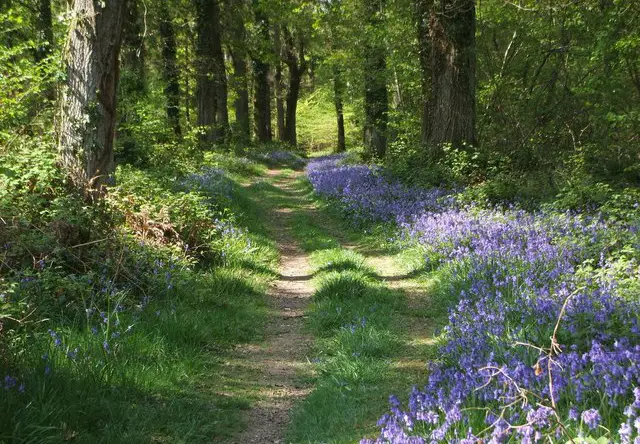 0.5 miles
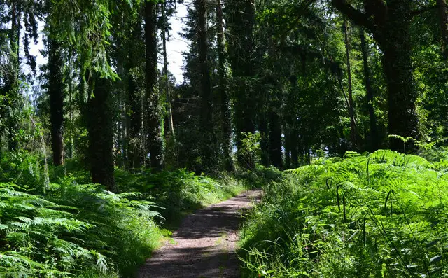 1-6.75 miles
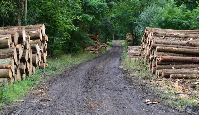 1.75-7 miles
 1.5-8.5 miles
 1.5 miles
 1 miles
 2-8 miles
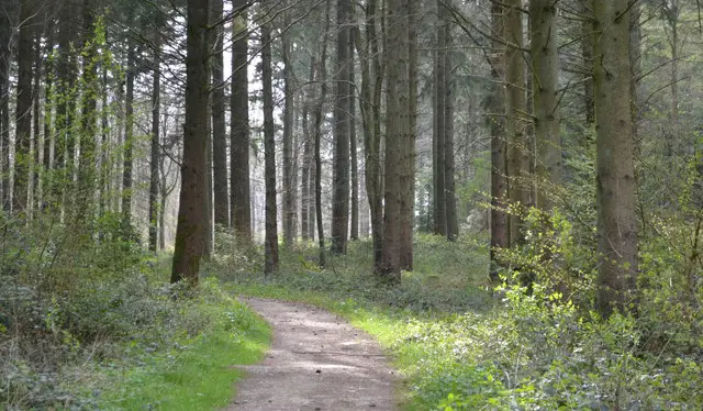 2.25-6.5 miles
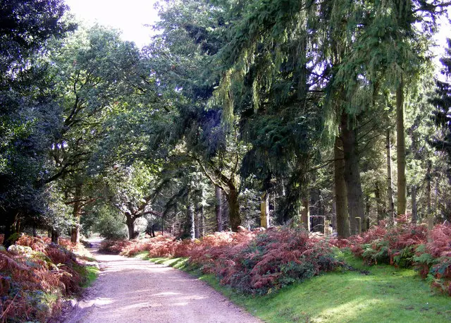 5 miles
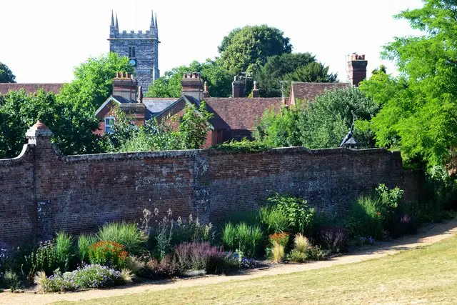 0.5-4.25 miles
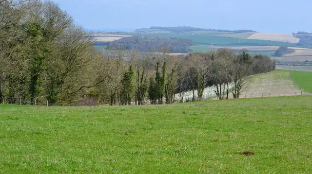 5.25-11.75 miles
 5-7 miles
 0.5-5.25 miles
 1.25 miles
 2.5-9.5 miles
Explore the county
See where the walks start, explore the area and tap a pin to find a route for your next adventure.
Search Wiltshire walks