
At a glance
Short Route
- Distance
- 1 miles
- Estimated time
- 30 mins
- Route type
- Circular
- GPS app guided
- Yes
- Parking
- Free parking at start 51.13824, -1.53074
- Characteristics
- Hills, Countryside
Wiltshire Walks
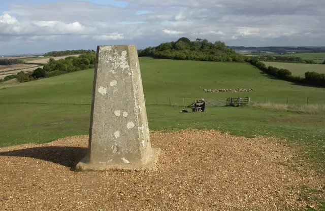
This walk climbs steadily up Danebury Hill, leading onto a broad chalk summit where open grassland and wide views stretch across the surrounding countryside.
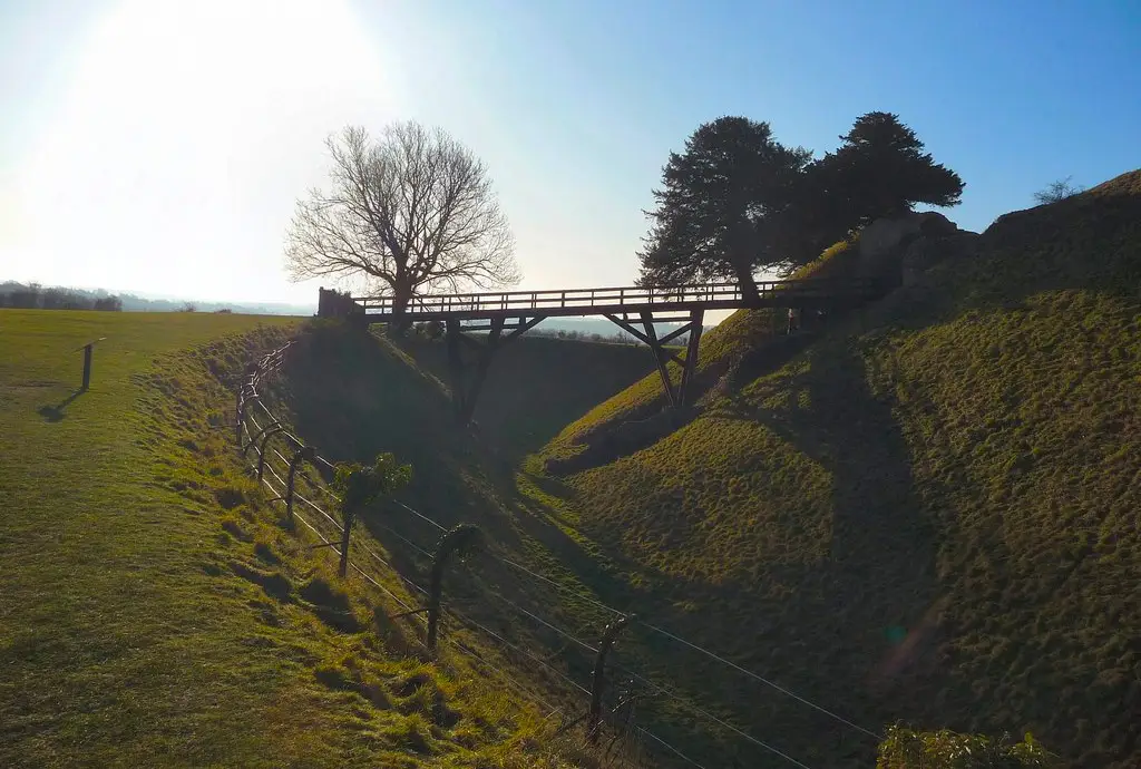
Danebury is also one of the best-preserved Iron Age hillforts in England, with visible ramparts and earthworks that still clearly outline its ancient defensive structure.
Download the Wiltshire Walks App to follow this route with real-time GPS navigation.


At a glance
The walk
This short but rewarding route climbs up to the top of Danebury Hill.
The ascent is brief but steady, leading onto the broad summit where open grassland and wide views give the walk a real sense of space.
It’s a simple countryside outing with a touch of history, as the hill is crowned by the remains of an Iron Age hillfort.
Based on 1 user rating
An outstanding walk
Very dog friendly
Clear and easy
Mostly buggy friendly
Mostly accessible
No facilities
Take a packed lunch
Spot on
Real feedback from people who have completed this walk using the Wiltshire Walks app.
First-hand experiences
Lovely walk with amazing views
Comments from walkers who have completed the Danebury Hill walk.
Navigate the walks
The easiest way to follow this route is with the Wiltshire Walks app. Choose the walk and follow the pointer showing your live position on the route map, so you can see you're on the right path.
The app works without a phone signal, so you can keep following the route wherever the walk takes you.

Explore the area
 1.5-8.5 miles
 0.5 miles
 1-6.75 miles
 2-8 miles
 5.5 miles
 1.75-7 miles
 5-7 miles
 1.5 miles
 2.25-6.5 miles
 1.75-7 miles
 1.5-2.75 miles
 1.25 miles
 1.25 miles
 7.5 miles
 0.5-5.25 miles
Explore the county
See where the walks start, explore the area and tap a pin to find a route for your next adventure.
Search Wiltshire walks