
At a glance
West Wittering Walk
- Distance
- 2 miles
- Estimated time
- 1 hour
- Route type
- Circular
- GPS app guided
- Yes
- Parking
- Paid car park at start 50.77554, -0.90619
- Characteristics
- Water, Countryside, Pub
Sussex Walks
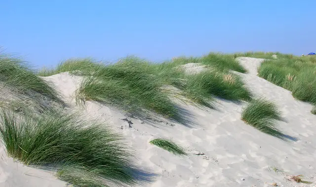
This walk takes you along the beautiful sandy beaches and dunes of the West Wittering Estate.
You’ll enjoy the coast, visit the village church, and reach the start of the East Head Spit, leaving the rest of the peninsula for you to explore at low tide.
Download the Sussex Walks App to follow this route with real-time GPS navigation.


At a glance
The walk
This is a walk around the lovely sandy beaches and sand dunes of the West Wittering Estate. The walk takes you around the beautiful coast and visits the church, but it also takes you to the start of the East Head Spit.
We would have mapped a route around the East Head peninsular itself, but it is only accessible at lower tides (check online for best times to visit) and sometimes areas of the dunes are fenced off for conservation, so we thought it's best for you to explore it yourself on the day as part of this walk.
Based on 1 user rating
A very popular walk
Fine with dogs
Some rough sections
Not suitable for pushchairs
Very limited access
Good facilities
Quite good
Accurate
Real feedback from people who have completed this walk using the Sussex Walks app.
Navigate the walks
The easiest way to follow this route is with the Sussex Walks app. Choose the walk and follow the pointer showing your live position on the route map, so you can see you're on the right path.
The app works without a phone signal, so you can keep following the route wherever the walk takes you.

Explore the area
 4-7 miles
 2.5-5 miles
 3.5-6.75 miles
 4.25 miles
 1.75-4.5 miles
 3-9.75 miles
 1.5-4 miles
 3.75-7.25 miles
 1.5-7.25 miles
 3.5-7.75 miles
 4-5.25 miles
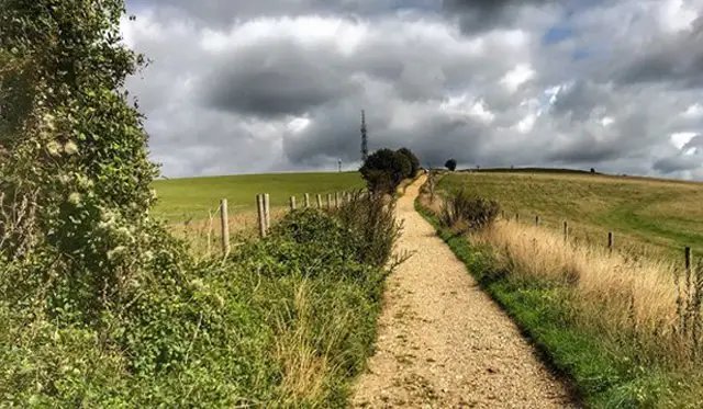 1.25-5.75 miles
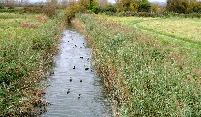 1-1.75 miles
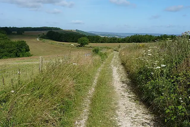 4.5-7 miles
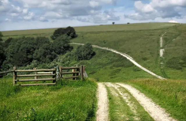 2.5-5.75 miles
Explore the county
See where the walks start, explore the area and tap a pin to find a route for your next adventure.
Search Sussex walks