

Sussex Walks

Hollingbury Park and Castle Walk

Hollingbury Castle walk, Sussex
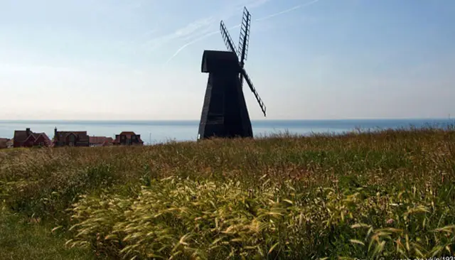
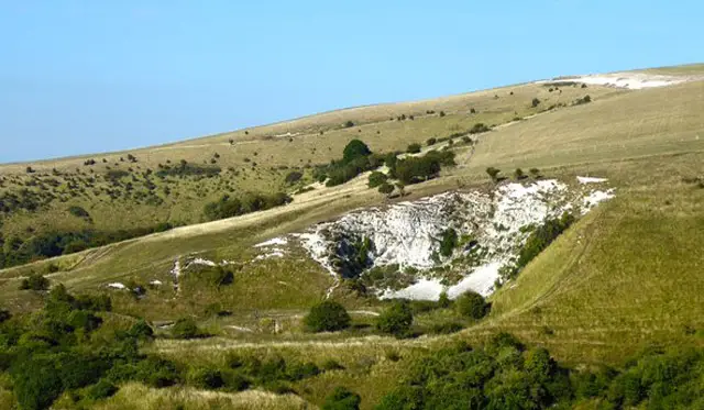
Hollingbury Castle · Photo: Nigel Cox

Download the Sussex Walks App to follow this route with real-time GPS navigation.

Download on the App Store Get it on Google Play

On a computer? Scan the QR code with your phone's camera to get the Sussex Walks app.

Walk information

Hollingbury Castle Walk

Walk distance
1¾ miles
Time
1 hour
Route type
Circular

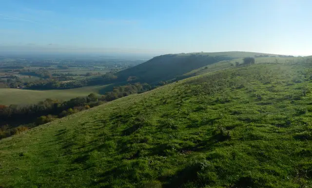
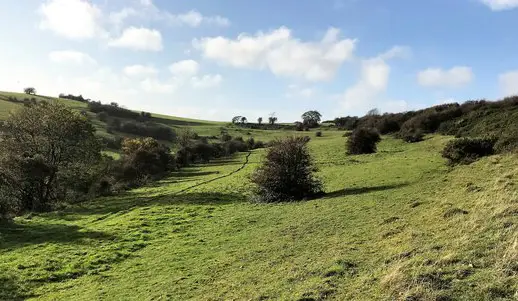
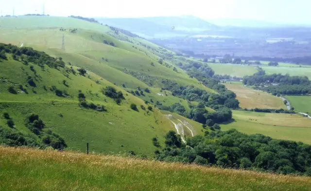
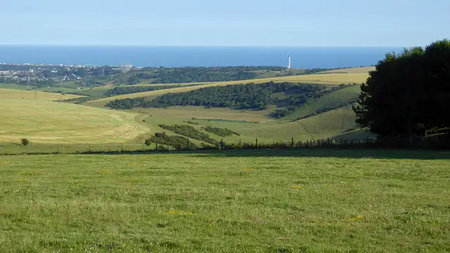
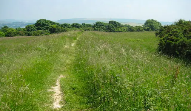
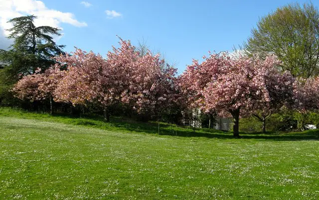
This is an interesting walk around the park that you'll find near Moulsecombe in Brighton. The walk takes you through a pretty open park and then up to the top of the Iron Age hillfort of Hollingbury Castle.

This Hollingbury Castle walk starts at coordinates: 50.848222, -0.125295

Navigate the walks

Sussex Walks App

Follow the Hollingbury Castle walk with GPS guidance

It's like sat-nav, but for footpaths.

Choose a walk and follow the pointer showing your live position on the route map, so you always know you're on the right path.

The app works without a phone signal, so you can keep following the route wherever the walk takes you.

Download the app

Download on the App Store Get it on Google Play

On a computer? Scan the QR code with your phone's camera to get the Sussex Walks app.

Sussex Walks app showing the walker's live position on a route map

Designed to be simple

  • Choose a walk and follow the pointer
  • See your live position on the route map
  • Works without a phone signal
  • Includes 400 Sussex walks
  • Free one-month trial
  • Available for iPhone and Android

Explore the area

Nearby walks

Explore the county

Sussex walks map

Map data © OpenStreetMap contributors

Search Sussex walks

See where the walks start, explore the area and tap a pin to find a route for your next adventure.

Search Sussex walks
Expanded route map for Hollingbury Castle Walk, a 1.75 mile circular walk in Sussex