

Sussex Walks

Clayton Walks & Route Maps

Clayton walk, Sussex
Clayton · Photo: Simon Carey

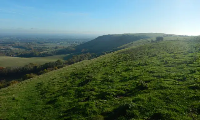
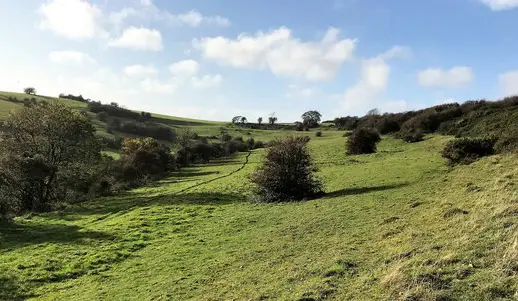
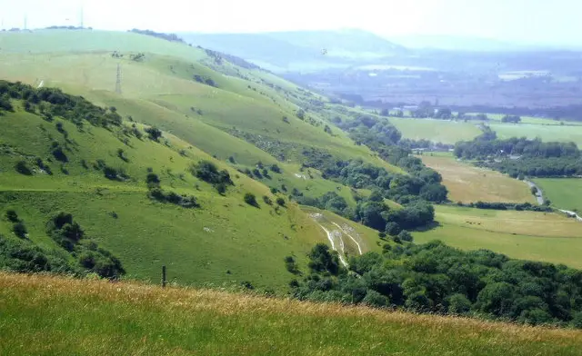
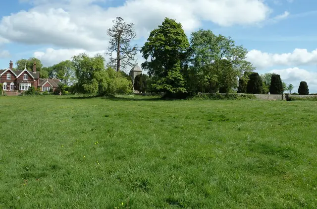
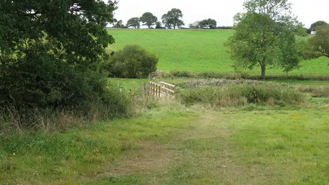
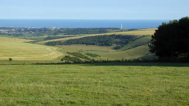
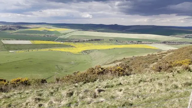
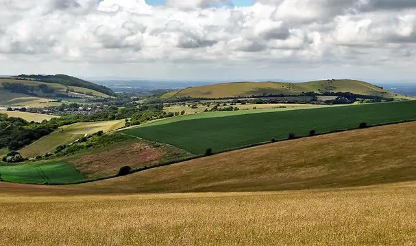
Set in the beautiful South Downs countryside, these walks around the village of Clayton offer a wonderful variety of routes across rolling hills, open farmland, and peaceful valleys.

From gentler rambles through the sheltered landscape of Wellcombe Bottom to longer routes exploring the surrounding downs, the walks showcase some of the most scenic parts of this area.

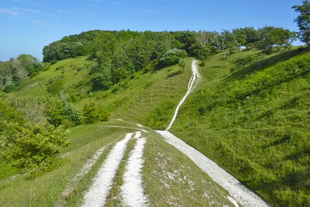
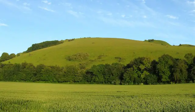
Some of these walks take on the steep but rewarding climb to the summit of Wolstonbury Hill, where wide panoramic views stretch across the South Downs.

Others head further across the open downland, visiting landmarks like the Clayton Windmills and the lofty heights of Ditchling Beacon, while the longest route turns the day into a full adventure through sweeping countryside with a well-earned pub stop waiting back in Clayton.

Download the Sussex Walks App to follow these routes with real-time GPS navigation.

Download on the App Store Get it on Google Play

Walk information

Clayton Walk 1

Walk distance
2¼ miles
Time
1 hour
Route type
Circular

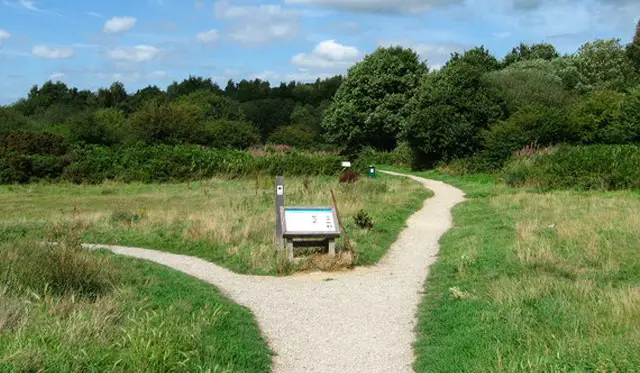
There are so many beautiful walks to choose from around the village of Clayton, which is set in the heart of the South Downs National Park. This is the shortest and least strenuous route that takes you on a stroll around Wellcombe Bottom.

There is still some climbing on this route, so you will need your energy, but it doesn't take you right to the top of Wolstonbury Hill.

Clayton Walk 1 3.7 Ratings and reviews 3 ratings · 2 reviews

Based on 3 user ratings

Community feedback

Overall rating3.7

A well-liked walk

Dog friendly3.7 / 5
Path condition3.3 / 5
Buggy friendly2.0 / 5
Wheelchair friendly1.0 / 5
Toilet facilities2.3 / 5
Pub or café1.7 / 5
Route accuracy4.3 / 5
ClimbingPlenty of climbing
LivestockAnimals everywhere
StilesA few stiles on route
Mud levelBoots recommended

Real feedback from people who have completed this walk using the Sussex Walks app.

First-hand experiences

User reviews

Walker review

Dangerous busy road at the start of the walk

Walker review

The route was very easy to follow. There were toilets at the start/end point as was the pub.

Walk information

Clayton Walk 2

Walk distance
3¾ miles
Time
2 hours
Route type
Circular

This second route is much tougher than the first route, with some very steep climbing, but you are rewarded when you reach the summit of Wolstonbury Hill with some fantastic views across the South Downs National Park.

You'll also visit Wellcombe Bottom and the Ashen Plantation woodland and there's a lovely pub on the route in Clayton to replenish your energy.

Clayton Walk 2 4.3 Ratings and reviews 4 ratings · 3 reviews

Based on 4 user ratings

Community feedback

Overall rating4.3

A very popular walk

Dog friendly4.5 / 5
Path condition4.0 / 5
Buggy friendly0.8 / 5
Wheelchair friendly0.8 / 5
Toilet facilities1.0 / 5
Pub or café0.5 / 5
Route accuracy4.3 / 5
ClimbingPlenty of climbing
LivestockSome livestock
StilesA few stiles on route
Mud levelBoots recommended

Real feedback from people who have completed this walk using the Sussex Walks app.

First-hand experiences

User reviews

Walker review

Great walk really enjoyed it with dog

Walker review

Brilliant walk, lovely woods and the fabulous Wolstonbury Hill. I’d probably avoid in winter unless you are a fan of mud!

Walker review

Really lovely walk with lots of contrasting landscapes. Steep climb at the start and quite undulating throughout. A couple of tricky places to find the correct path to follow but getting a bit lost didnt spoil our enjoyment.

Walk information

Clayton Walk 3

Walk distance
4½ miles
Time
2 hours
Route type
Circular

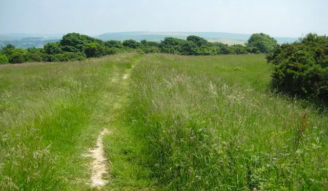
This third route heads out east in a different direction to the first two routes, and takes you on an adventure around the open downs.

There's a fair bit of climbing on this route again, although not as steep as the Wolstonbury Hill route, and you will be rewarded again with sweeping views.

You'll also visit the Clayton Windmills on this route.

Clayton Walk 3 4.6 Ratings and reviews 5 ratings · 4 reviews

Based on 5 user ratings

Community feedback

Overall rating4.6

An outstanding walk

Dog friendly3.6 / 5
Path condition3.2 / 5
Buggy friendly1.0 / 5
Wheelchair friendly1.8 / 5
Toilet facilities1.6 / 5
Pub or café2.0 / 5
Route accuracy4.4 / 5
ClimbingSome climbing
LivestockSome livestock
StilesA stile or two
Mud levelBoots recommended

Real feedback from people who have completed this walk using the Sussex Walks app.

First-hand experiences

User reviews

Walker review

Park in the Clayton Recreation Ground Car Park which is free and spacious. It’s on Underhill Lane and the path up the hill is right by the car park entrance for ease.

Walker review

The bit where it goes through the wood has been fenced off. We had to go back on ourselves to the main path. Other than that, it's a very enjoyable walk!

Walker review

Everything was perfect about the walk and the map apart from instructions on how to get to the very start of the walk . You should say on the front page that the walk starts in the lane opposite the clayton recreation ground and claylands cottage. Signposted South Downs Way, but obstructed. Also, have some verbal instructions for walkers coming by bus when they alight at the Jack and Jill inn. Google maps is not great with countryside accuracy.

Walker review

Lovely views on a clear day in all directions. Quite a busy/popular route and beware of fast mountain bikers!

Walk information

Clayton Walk 4

Walk distance
6½ miles
Time
3.5 hours
Route type
Circular

This route is an extended version of the third walk that heads further out east from the village of Clayton.

This longer energetic walk offers more of the hilly and open countryside walking in the gorgeous South Downs, but you'll also climb to the top of Ditchling Beacon for some especially wonderful views.

Clayton Walk 4 4.0 Ratings and reviews 1 rating · 1 review

Based on 1 user rating

Community feedback

Overall rating4.0

A very popular walk

Dog friendly4.0 / 5
Path condition4.0 / 5
Buggy friendly1.0 / 5
Wheelchair friendly1.0 / 5
Toilet facilities1.0 / 5
Pub or café1.0 / 5
Route accuracy2.0 / 5
ClimbingSome climbing
LivestockRarely any livestock
StilesNo stiles
Mud levelWellies when wet

Real feedback from people who have completed this walk using the Sussex Walks app.

First-hand experiences

User reviews

Walker review

It was great, although not many oppetunities to sit for a rest. Only one bench along rhe whole route. Not a problem for us but others may struggle.

Walk information

Clayton Walk 5

Walk distance
11 miles
Time
5.5 hours
Route type
Circular

This final route is a truly epic and very challenging long walk in this beautiful area of the South Downs National Park.

If you head clockwise, the massive loop explores the expansive opens downs to the east of Clayton before travelling down towards Brighton.

It then loops back up through more gorgeous countryside, visiting the village of Pyecombe and then climbing to the summit of Wolstonbury Hill for some wonderful Views.

After all of that wonderful walking in the Downs, you'll find a welcome lovely pub with big beer garden as you come back into the village of Clayton.

Clayton Walk 5 No ratings yet Be the first - rate this walk in the Sussex Walks App

Navigate the walks

Sussex Walks App

Follow the Clayton walks with GPS guidance

It's like sat-nav, but for footpaths.

Choose a walk and follow the pointer showing your live position on the route map, so you always know you're on the right path.

The app works without a phone signal, so you can keep following the route wherever the walk takes you.

Download the app

Download on the App Store Get it on Google Play
Sussex Walks app showing the walker's live position on a route map

Designed to be simple

  • Choose a walk and follow the pointer
  • See your live position on the route map
  • Works without a phone signal
  • Includes 400 Sussex walks
  • Free one-month trial
  • Available for iPhone and Android

Explore the area

Nearby walks

Explore the county

Sussex walks map

Map data © OpenStreetMap contributors

Search Sussex walks

See where the walks start, explore the area and tap a pin to find a route for your next adventure.

Search Sussex walks
Expanded route map for Clayton Walk 1, a 2.25 mile circular walk in Sussex