

Sussex Walks

High Woods Walks & Route Maps

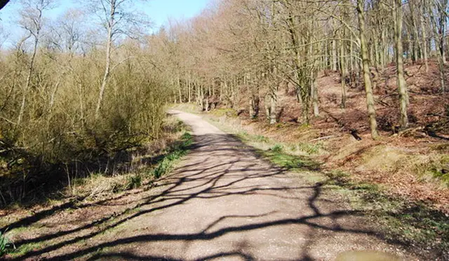
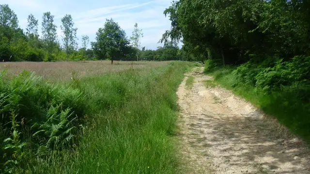
High Woods walk, Sussex
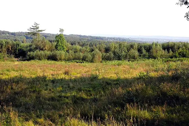
High Woods · Photo: Robin Webster

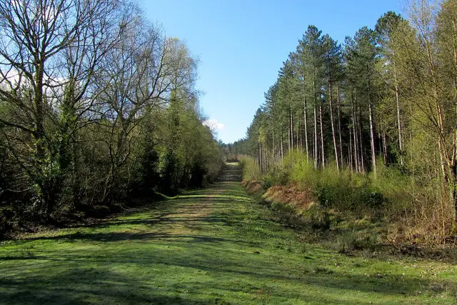
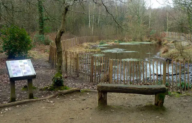
These walks at High Woods offer a variety of woodland adventures for all ages and abilities.

The shortest route, the Humpfrey Smith Trail, is suitable for wheelchairs and provides an easy introduction to the forest paths.

The other three walks - the Red Walk, Blue Walk, and White Horse Track - explore different areas of the woods, including the Great High Wood and the pretty heath, and can be combined for a longer woodland adventure.

As with all woodland paths, be prepared for muddy sections after wet weather and wear suitable footwear.

Download the Sussex Walks App to follow these routes with real-time GPS navigation.

Download on the App Store Get it on Google Play

Walk information

High Woods Walk 1

Walk distance
½ miles
Time
30 mins
Route type
Circular

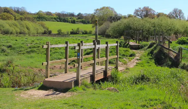
This first walk is a short trail called the 'Humpfrey Smith Trail' and it's a route that's classified on the High Woods website as being suitable for wheelchairs.

High Woods Walk 1 No ratings yet Be the first - rate this walk in the Sussex Walks App

Walk information

High Woods Walk 2

Walk distance
1 mile
Time
30 mins
Route type
Circular

The High Woods is an adventure land for the kids and there are also three other longer trails to choose from that are not as suitable for wheels, but still great for the little ones to explore.

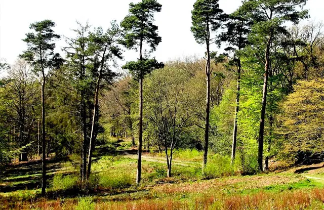
This second route is a lovely short woodland adventure around the Great High Wood and it is marked as the 'Red Walk' on site.

High Woods Walk 2 4.0 Ratings and reviews 1 rating · 1 review

Based on 1 user rating

Community feedback

Overall rating4.0

A very popular walk

Dog friendly4.0 / 5
Path condition3.0 / 5
Buggy friendly2.0 / 5
Wheelchair friendly2.0 / 5
Toilet facilities1.0 / 5
Pub or café1.0 / 5
Route accuracy5.0 / 5
ClimbingSome climbing
LivestockNo livestock
StilesNo stiles
Mud levelBoots recommended

Real feedback from people who have completed this walk using the Sussex Walks app.

First-hand experiences

User reviews

Walker review

Muddy in places but also clear signs of upkeep, very clear colour coded route markers on trees, distance posts, and plenty of benches to sit on. Gorgeous huge old trees. Coming back to do the other routes soon!

Walk information

High Woods Walk 3

Walk distance
1¼ miles
Time
30 mins
Route type
Circular

This third woodland route is marked as the 'Blue Walk' in the High Woods.

It takes a completely different route to the red walk, so you could actually walk both trails if you wanted to have a longer adventure. This route also includes a visit to the pretty heath area of the woods.

High Woods Walk 3 No ratings yet Be the first - rate this walk in the Sussex Walks App

Walk information

High Woods Walk 4

Walk distance
1½ miles
Time
30 mins
Route type
Circular

This final option is the longest route around the High Woods and it's marked on site as the 'White Horse Track'.

As with the other two longer routes, it follows a completely different path around the woods, so you could combine it with the other routes if you wanted a longer adventure.

High Woods Walk 4 3.5 Ratings and reviews 2 ratings · 1 review

Based on 2 user ratings

Community feedback

Overall rating3.5

A well-liked walk

Dog friendly5.0 / 5
Path condition3.5 / 5
Buggy friendly3.5 / 5
Wheelchair friendly1.0 / 5
Toilet facilities1.0 / 5
Pub or café1.0 / 5
Route accuracy4.0 / 5
ClimbingGentle slopes
LivestockNo livestock
StilesNo stiles
Mud levelWellies when wet

Real feedback from people who have completed this walk using the Sussex Walks app.

First-hand experiences

User reviews

Walker review

Very muddy.

Navigate the walks

Sussex Walks App

Follow the High Woods walks with GPS guidance

It's like sat-nav, but for footpaths.

Choose a walk and follow the pointer showing your live position on the route map, so you always know you're on the right path.

The app works without a phone signal, so you can keep following the route wherever the walk takes you.

Download the app

Download on the App Store Get it on Google Play
Sussex Walks app showing the walker's live position on a route map

Designed to be simple

  • Choose a walk and follow the pointer
  • See your live position on the route map
  • Works without a phone signal
  • Includes 400 Sussex walks
  • Free one-month trial
  • Available for iPhone and Android

Explore the area

Nearby walks

Explore the county

Sussex walks map

Map data © OpenStreetMap contributors

Search Sussex walks

See where the walks start, explore the area and tap a pin to find a route for your next adventure.

Search Sussex walks
Expanded route map for High Woods Walk 1, a 0.5 mile circular walk in Sussex