

Somerset Walks

Portishead Walks & Route Maps

Portishead walk, Somerset
Portishead · Photo: Steve Daniels

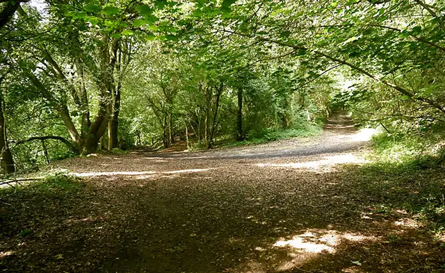
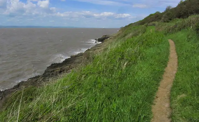
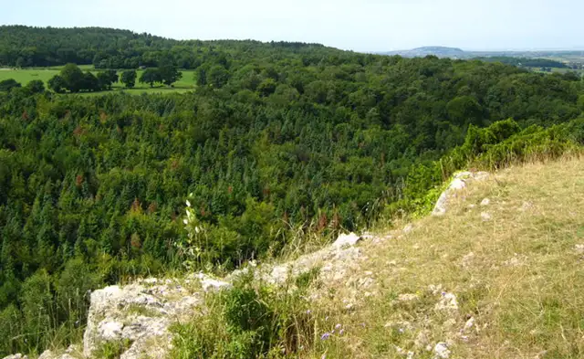
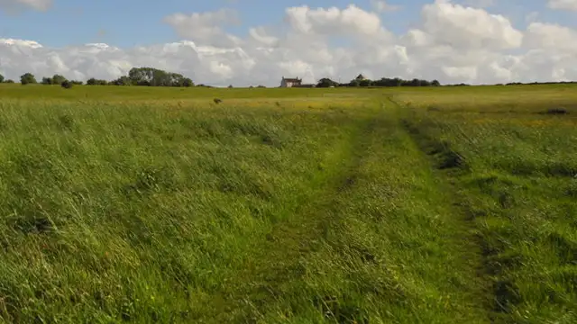
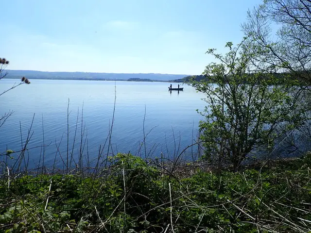
These walks around Portishead combine coastal scenery with green open spaces and waterside views along the edge of the Bristol Channel.

The routes take in places including Kilkenny Fields, Portishead Point, and the striking coastline near Sugar Loaf Bay Cave.

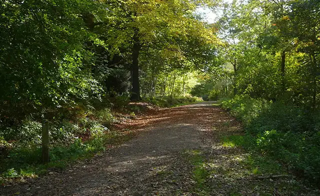
The longer of the walks also explores the town’s marina, High Street, and the quieter woodland paths of East Wood, adding a little more variety along the way.

Both routes include a convenient stop at The Windmill, making these walks ideal for a relaxed day out by the coast.

Download the Somerset Walks App to follow these routes with real-time GPS navigation.

Download on the App Store Get it on Google Play

Walk information

Portishead Walk 1

Walk distance
1½ miles
Time
1 hour
Route type
Circular

This short Portishead walk keeps things simple, focusing on open coastal space and big views.

It takes in Kilkenny Fields followed by more rugged coastline around Sugar Loaf Bay Cave.

A local pub provides a natural stopping point, rounding off a relaxed route that blends open green space with a touch of coastal beauty.

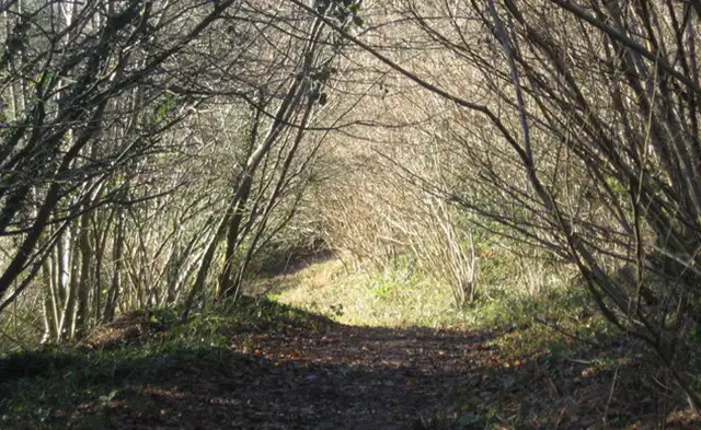
Portishead Walk 1 No ratings yet Be the first - rate this walk in the Somerset Walks App

Walk information

Portishead Walk 2

Walk distance
4¼ miles
Time
2 hours
Route type
Circular

This alternative and longer Portishead walk offers a varied route through the town’s modern waterfront and its more rugged coastal edge.

The route opens out toward Portishead Point, with wide views across the Bristol Channel, before dipping into the quieter greenery of East Wood.

It also passes through the everyday rhythm of the High Street and the open sweep of Kilkenny Fields, where the town meets the coast.

Further along, a pub provides a natural pause, before the landscape becomes more dramatic near Sugar Loaf Bay Cave, shaped by the powerful tides.

Refreshments:

The Windmill, Portishead

Portishead Walk 2 5.0 Ratings and reviews 1 rating

Based on 1 user rating

Community feedback

Overall rating5.0

An outstanding walk

Dog friendly5.0 / 5
Path condition4.0 / 5
Buggy friendly3.0 / 5
Wheelchair friendly3.0 / 5
Toilet facilities3.0 / 5
Pub or café4.0 / 5
Route accuracy4.0 / 5
ClimbingGentle slopes
LivestockNo livestock
StilesNo stiles
Mud levelMostly dry

Real feedback from people who have completed this walk using the Somerset Walks app.

Navigate the walks

Somerset Walks App

Follow the Portishead walks with GPS guidance

It's like sat-nav, but for footpaths.

Choose a walk and follow the pointer showing your live position on the route map, so you always know you're on the right path.

The app works without a phone signal, so you can keep following the route wherever the walk takes you.

Download the app

Download on the App Store Get it on Google Play
Somerset Walks app showing the walker's live position on a route map

Designed to be simple

  • Choose a walk and follow the pointer
  • See your live position on the route map
  • Works without a phone signal
  • Includes 250 Somerset walks
  • Free one-month trial
  • Available for iPhone and Android

Explore the area

Nearby walks

Explore the county

Somerset walks map

Map data © OpenStreetMap contributors

Search Somerset walks

See where the walks start, explore the area and tap a pin to find a route for your next adventure.

Search Somerset walks
Expanded route map for Portishead Walk 1, a 1.5 mile circular walk in Somerset