Oxfordshire Walks

Abingdon Walks

Abingdon walk, Oxfordshire
Abingdon · Photo: Helena Spinks

We have three lovely Abingdon walks ranging from 1.75 miles to 9.75 miles on the Oxfordshire Walks app.

Download the Oxfordshire Walks App to follow this route with real-time GPS navigation.

Download on the App Store Get it on Google Play

On a computer? Scan the QR code with your phone's camera to get the Oxfordshire Walks app.

Abingdon Walk - September 2020

If you would like to read more about the walking around Abingdon, here is our blog post from September 2020…

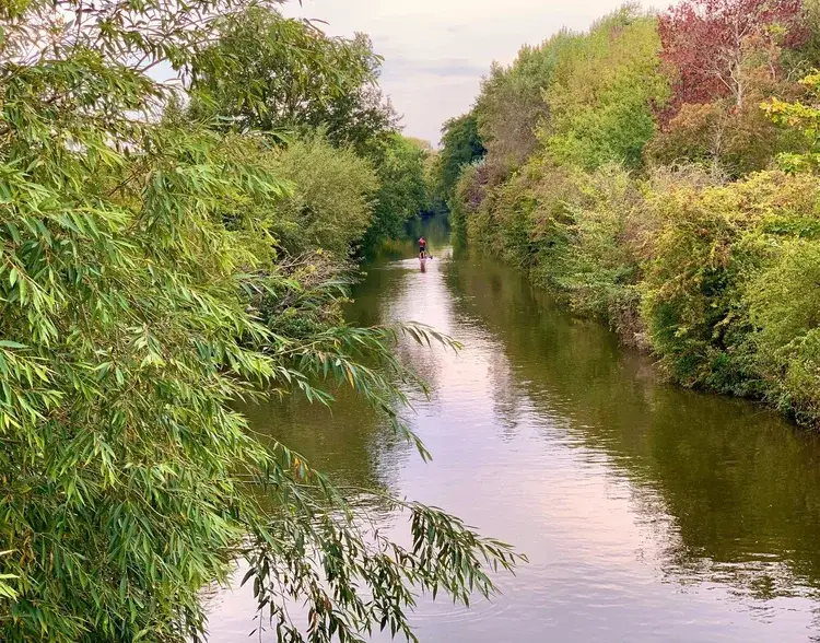
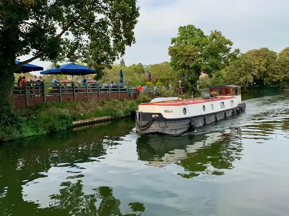
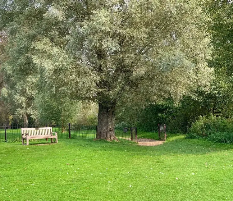
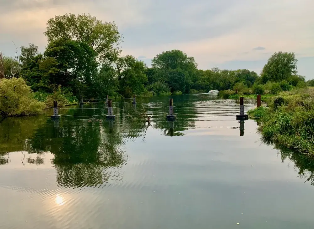
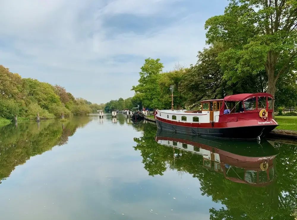
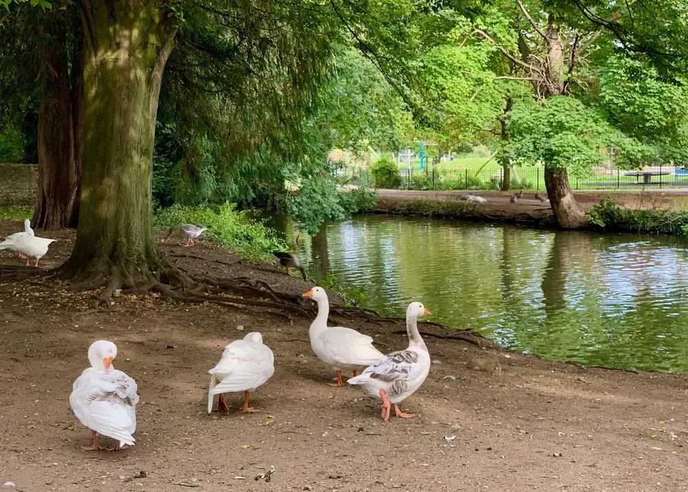
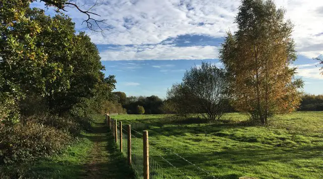
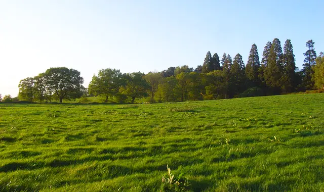
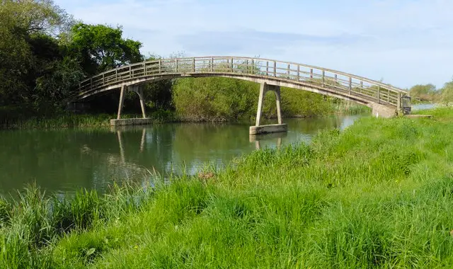
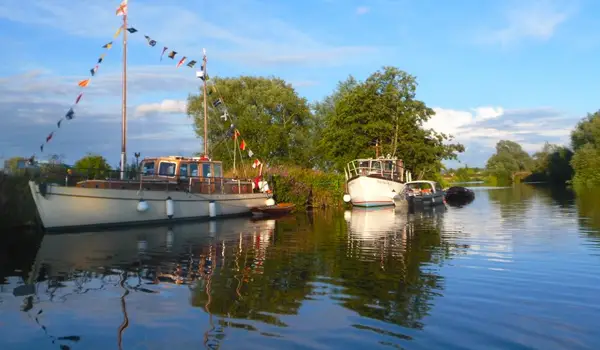
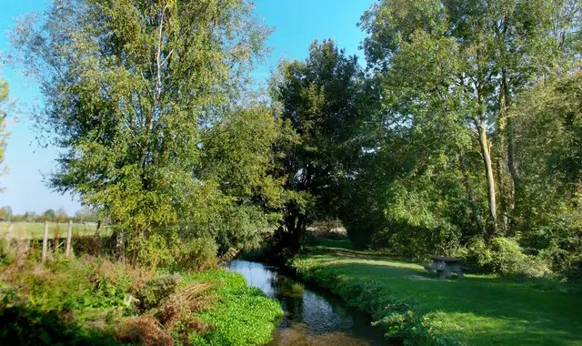
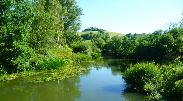
This week’s walk is a there and back route of 8 miles. It is a very easy walk and can be enjoyed by the whole family. There is plenty of variety as you stroll past red-roofed houses and riverside boats between waterside and meadow. Enjoy crossing from bank to bank, over bridges, weirs, locks and islands.

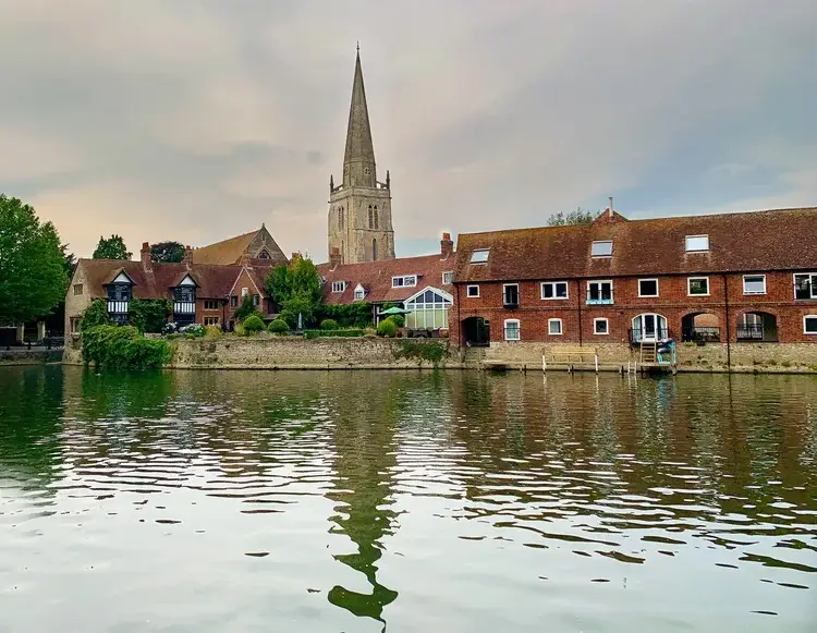
Starting from Abingdon, one of England’s oldest market towns you will firstly visit Abbey Meadows with its ecclesiastical medieval ruins, and romantic Victorian Abbey Gardens. Little remains of the town’s medieval abbey itself, but its impressive Long Gallery survives.

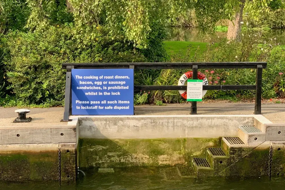
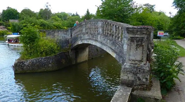
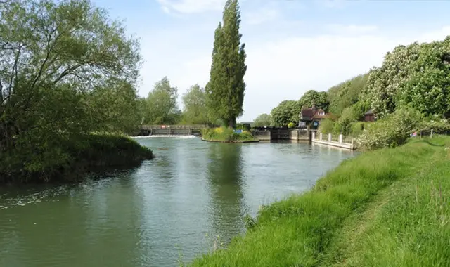
Crossing the river at Abingdon Weir and Lock, follow the Thames Path west and south, with fine views of St Helen’s Church and the town on the other side of the bank. Continue through Hales Meadow, passing the ancient Abingdon Bridge and Abingdon Marina.

Where the path forks, you can turn left to visit Culham with its picturesque medieval bridge. Visit the village’s manor with its 17th-century dovecote and the parish church of St Paul.

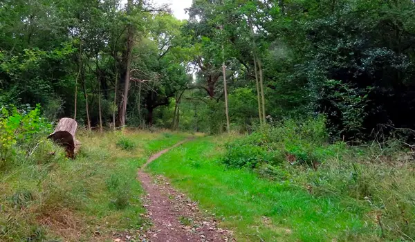
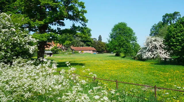
Return to the river and follow the path along flower filled field edges until you come to Culham Cut. Here, cross right over the bridge, then follow the footpath to Sutton Courtenay. Here you can see the imposing Grade One listed Wharf which once belonged to British Prime Minister, H.H. Asquith, buried in nearby All Saints’ Church, where George Orwell is also buried.

If you have time you can finish your day with a short tour of Abingdon’s many architectural gems, not least the 17th-century county hall (“exceedingly handsome” according to poet John Betjeman); the Long Alley Almshouse, and St Helen’s Church, famous both for the paintings that adorn the ceiling of its Lady Chapel and its shape – with no fewer than five aisles, making it wider than it is long!

There are a number of food and drink options to consider in Abingdon or in the village of Sutton Courtenay.

PLEASE NOTE: You can park in the town of Abingdon or alternatively there is a car park at Culham Lock where you could walk a short riverside path to join the walk and follow the route in reverse. If you prefer you could start at either end of the walk and take a bus for the return.

You can see a full list of Oxfordshire walks here.

Walk information

Abingdon Walks


The first is a lovely casual and varied walk around Abingdon. It enjoys some pretty walking through Rye Farm Meadow alongside the River Thames, before crossing the Abingdon Lock into the Abbey Gardens and then into the historic market town centre for a wander around the plentiful shops, pubs and restaurants on offer.

We also have an alternative route which is a short, nice and simple family-friendly walk that still takes you on the lovely Abingdon walk along a stretch of the River Thames through Rye Farm meadow, but instead of visiting the town, it loops back to the car park through open countryside instead.

If you really want to enjoy the River, we have a long route that takes you on an epic journey along the winding River Thames, across the lovely rural Oxfordshire countryside and through the village of Clifton Hampden.

This Abingdon walk starts at coordinates: 51.66732, -1.27769

Navigate the walks

Oxfordshire Walks App

Follow the Abingdon walk with GPS guidance

It's like sat-nav, but for footpaths.

Choose a walk and follow the pointer showing your live position on the route map, so you always know you're on the right path.

The app works without a phone signal, so you can keep following the route wherever the walk takes you.

Download the app

Download on the App Store Get it on Google Play

On a computer? Scan the QR code with your phone's camera to get the Oxfordshire Walks app.

Oxfordshire Walks app showing the walker's live position on a route map

Designed to be simple

  • Choose a walk and follow the pointer
  • See your live position on the route map
  • Works without a phone signal
  • Includes 250+ Oxfordshire walks
  • Free one-month trial
  • Available for iPhone and Android

Explore the area

Nearby walks

Explore the county

Oxfordshire walks map

Map data © OpenStreetMap contributors

Search Oxfordshire walks

See where the walks start, explore the area and tap a pin to find a route for your next adventure.

Search Oxfordshire walks
Expanded route map for Abingdon Walks, a 1.75 mile circular walk in Oxfordshire