

Oxfordshire Walks

Oxfordshire walks - Rushy Common

Rushy Common walk, Oxfordshire
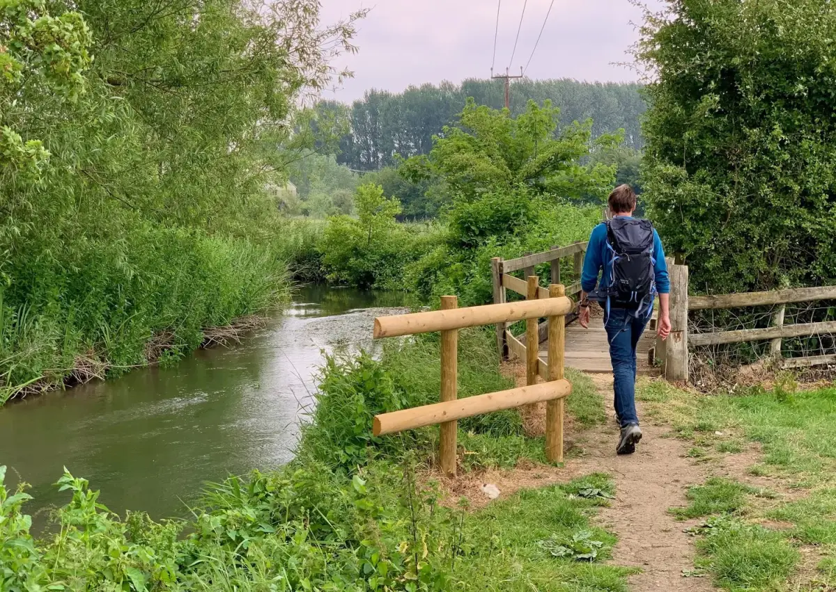
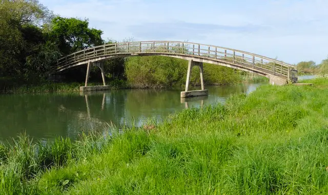
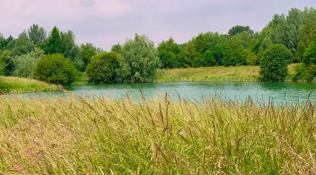
Rushy Common · Photo: Helena Spinks

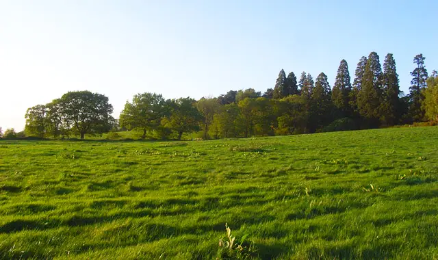
This weekend’s walk is a great one to do when you just want to stroll and experience the natural beauty all around you. The sound of wind rustling through the trees, the birds singing, insects buzzing, coots in the water calling for their mate and wild plants, blossoms and blooms all the way. Soothing for your soul.

Download the Oxfordshire Walks App to follow this route with real-time GPS navigation.

Download on the App Store Get it on Google Play

On a computer? Scan the QR code with your phone's camera to get the Oxfordshire Walks app.

Rushy Common walk 01

Rushy Common Nature Reserve

Walk distance
5 miles
Time
2.5 hours
Route type
Circular

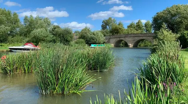
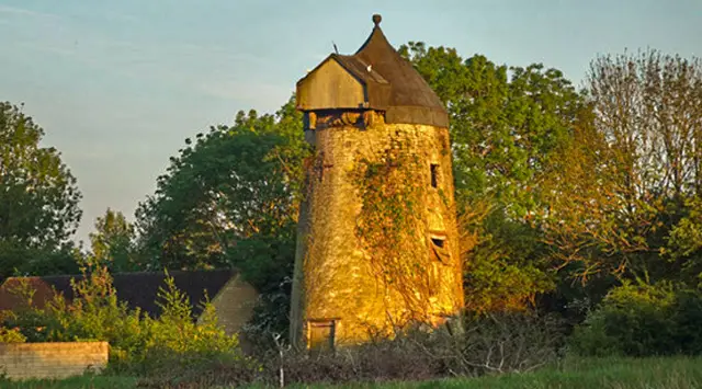
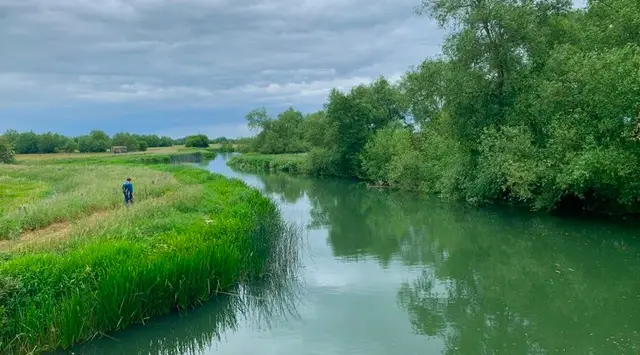
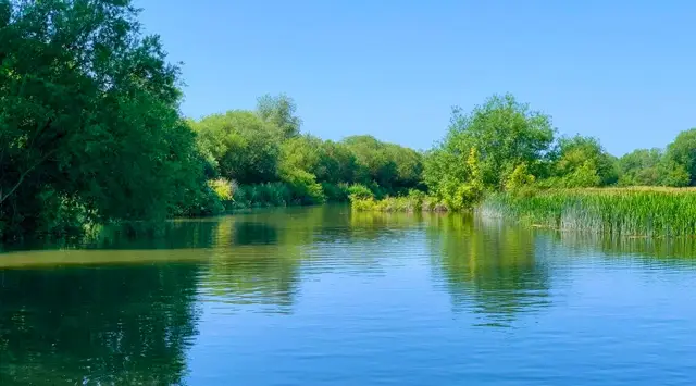
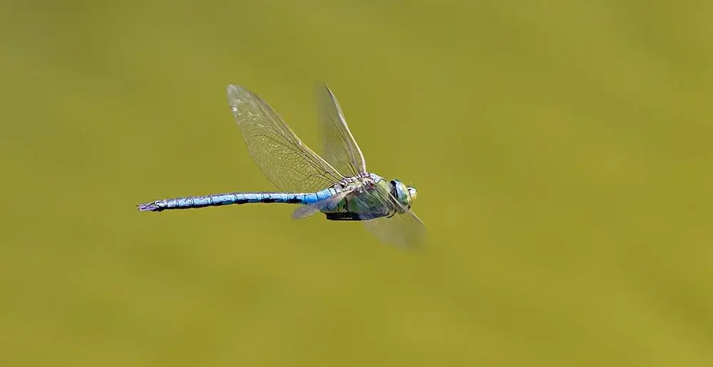
This 5 mile circular walk is on easy paths most of the way and is an ideal for all of the family and your dog(s). Starting at Rushy Common Nature Reserve and neighbouring Tar Lake, the paths around the lakes are a delight and whilst the hides are currently closed there is plenty of wildlife to see including dragonflies, damselflies, mallards, coots and the stunning little red-crested pochard. If you are really lucky you will see a kingfisher flashing by and maybe even sightings of peregrine and sparrowhawk. (So if you have some - take your binoculars.)

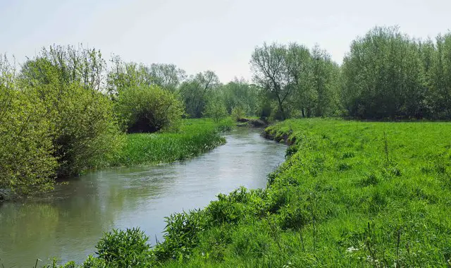
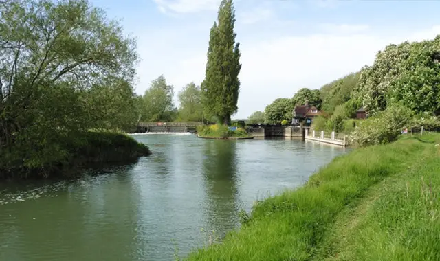
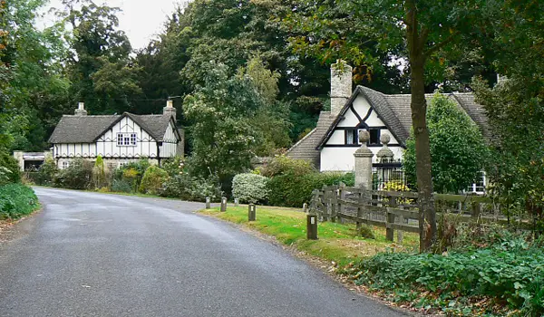
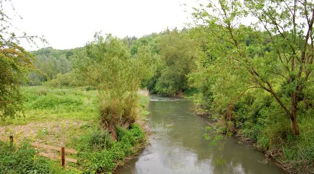
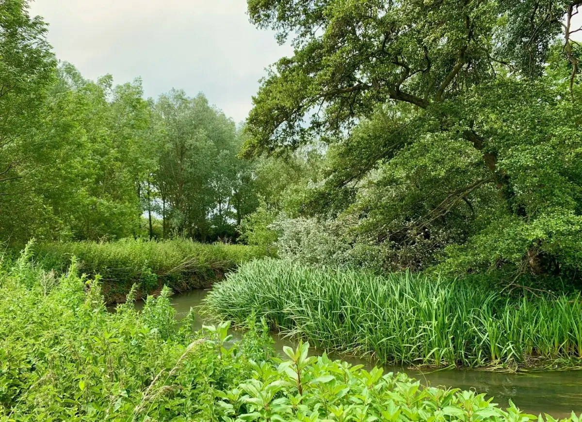
Once you have explored the reserve, the walk then continues along the Windrush Way following the path of this lovely meandering river. You will then continue along the Northern Cross Valley Way and finally the Down Valley Way which will take you back to the car park at Rushy Common.

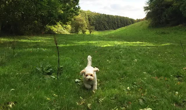
Please note that whilst this walk is suitable for dogs, they must be kept under control at all times whilst in the nature reserve to avoid disturbing the wildlife. Rushy Common Nature Reserve is a special place, please look after the reserve and ensure that you do not leave any litter behind as it will spoil the environment and could harm the wildlife. Thank you!
This Rushy Common walk starts at coordinates: 51.7641, -1.44984

Navigate the walks

Oxfordshire Walks App

Follow the Rushy Common walk with GPS guidance

It's like sat-nav, but for footpaths.

Choose a walk and follow the pointer showing your live position on the route map, so you always know you're on the right path.

The app works without a phone signal, so you can keep following the route wherever the walk takes you.

Download the app

Download on the App Store Get it on Google Play

On a computer? Scan the QR code with your phone's camera to get the Oxfordshire Walks app.

Oxfordshire Walks app showing the walker's live position on a route map

Designed to be simple

  • Choose a walk and follow the pointer
  • See your live position on the route map
  • Works without a phone signal
  • Includes 250+ Oxfordshire walks
  • Free one-month trial
  • Available for iPhone and Android

Explore the area

Nearby walks

Explore the county

Oxfordshire walks map

Map data © OpenStreetMap contributors

Search Oxfordshire walks

See where the walks start, explore the area and tap a pin to find a route for your next adventure.

Search Oxfordshire walks
Expanded route map for Rushy Common Nature Reserve, a 5 mile circular walk in Oxfordshire