

Oxfordshire Walks

Dorchester-on-Thames Walks & Route Maps

Dorchester-on-Thames walk, Oxfordshire
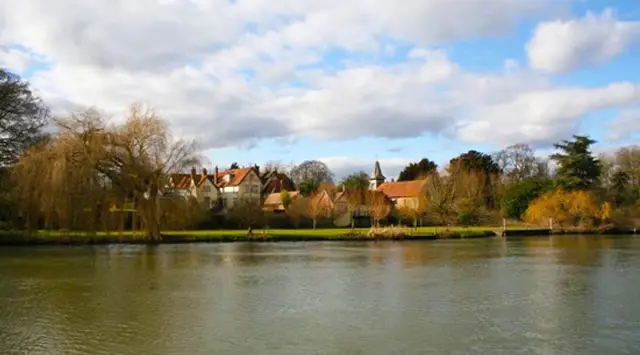
Dorchester-on-Thames · Photo: Des Blenkinsopp

Starting from the historic Roman town of Dorchester-on-Thames, these walks offer a lovely mix of riverside scenery, open countryside, and gentle exploration of the surrounding villages.

The routes vary from an easy, mostly flat countryside circuit to a more adventurous walk with a climb to Wittenham Clumps and rewarding panoramic views.

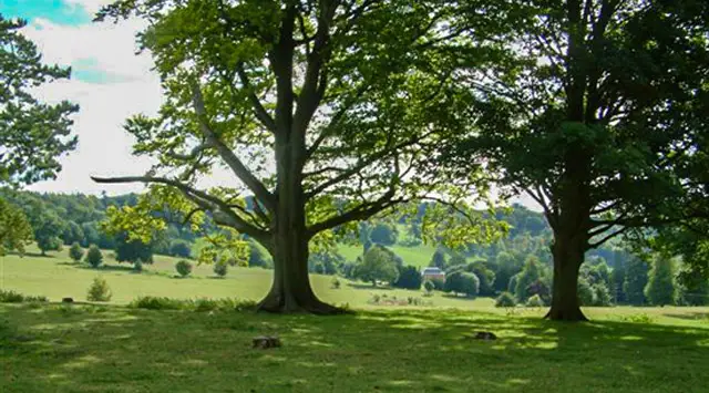
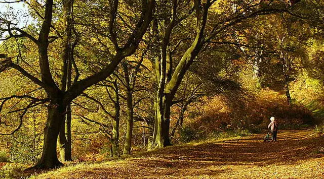
Along the way, you can enjoy stretches of the Thames Path, peaceful woodland at Little Wittenham, and quiet country lanes linking nearby villages.

With welcoming pubs at both the start and finish, these walks are ideal for a relaxed day out with plenty of variety and interest.

Download the Oxfordshire Walks App to follow these routes with real-time GPS navigation.

Download on the App Store Get it on Google Play

Walk information

Dorchester-on-Thames Walk 1

Walk distance
5¾ miles
Time
3 hours
Route type
Circular

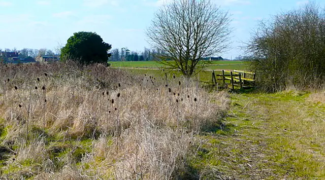
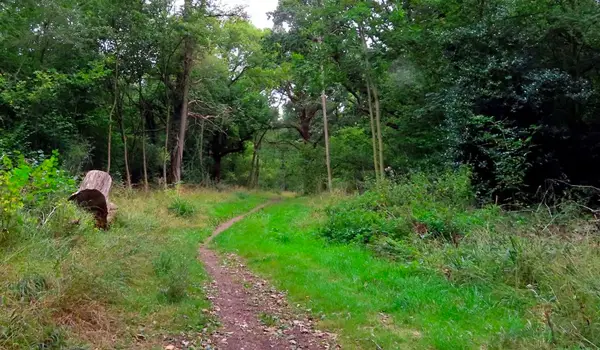
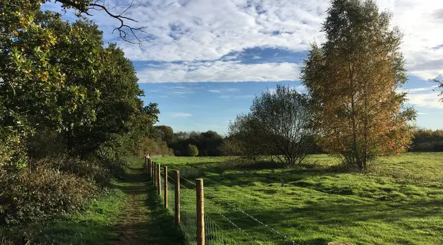
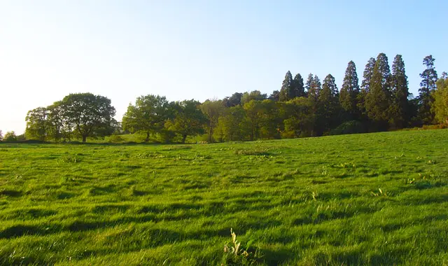
This is easygoing walk starting from the Roman town of Dorchester-on-Thames. The walk travels through open countryside along Priests' Moor Lane for a while and then along Pain Way towards the village of Drayton St Leonard.

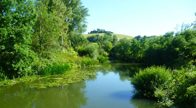
From here you head back through Queenford Lakes. Whilst this is a relatively easy flat walk most of the way, there is some uneven ground and there is a fair amount of road walking.

For refreshments, there is a pub close to the start/finish of this walk.

Dorchester-on-Thames Walk 1 2.0 Ratings and reviews 2 ratings · 1 review

Based on 2 user ratings

Community feedback

Overall rating2.0

Mixed feedback from walkers

Dog friendly3.5 / 5
Path condition3.0 / 5
Buggy friendly1.5 / 5
Wheelchair friendly1.5 / 5
Toilet facilities2.0 / 5
Pub or café4.0 / 5
Route accuracy4.0 / 5
ClimbingTotally level
LivestockRarely any livestock
StilesNo stiles
Mud levelBoots recommended

Real feedback from people who have completed this walk using the Oxfordshire Walks app.

First-hand experiences

User reviews

Walker review

Easy flat walk. Quite a lot of walking along the road

Walk information

Dorchester-on-Thames Walk 2

Walk distance
6¾ miles
Time
3.5 hours
Route type
Circular

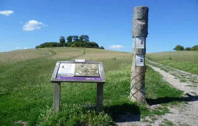
Starting from the Roman town of Dorchester on Thames, this delightful walk has lots of variety. Firstly, you will cross the River Thames and have a short steep climb up Wittenham Clumps, a favourite haunt of the painter Paul Nash.

Here, you can appreciate some iconic views and panoramas - a just reward. Next is a wander thorough Little Wittenham woods before going on to visit the village of Shillingford, where you can stop for a well earned drink at the pub.

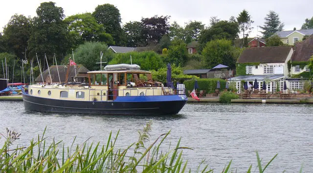
The final leg of the walk takes you along the Thames Path back to Dorchester-on-Thames where you will find another pub!

Dorchester-on-Thames Walk 2 4.0 Ratings and reviews 3 ratings

Based on 3 user ratings

Community feedback

Overall rating4.0

A very popular walk

Dog friendly3.7 / 5
Path condition3.3 / 5
Buggy friendly1.7 / 5
Wheelchair friendly1.3 / 5
Toilet facilities2.7 / 5
Pub or café3.3 / 5
Route accuracy4.3 / 5
ClimbingGentle slopes
LivestockRarely any livestock
StilesA stile or two
Mud levelMay be muddy after wet weather

Real feedback from people who have completed this walk using the Oxfordshire Walks app.

Navigate the walks

Oxfordshire Walks App

Follow the Dorchester-on-Thames walks with GPS guidance

It's like sat-nav, but for footpaths.

Choose a walk and follow the pointer showing your live position on the route map, so you always know you're on the right path.

The app works without a phone signal, so you can keep following the route wherever the walk takes you.

Download the app

Download on the App Store Get it on Google Play
Oxfordshire Walks app showing the walker's live position on a route map

Designed to be simple

  • Choose a walk and follow the pointer
  • See your live position on the route map
  • Works without a phone signal
  • Includes 250+ Oxfordshire walks
  • Free one-month trial
  • Available for iPhone and Android

Explore the area

Nearby walks

Explore the county

Oxfordshire walks map

Map data © OpenStreetMap contributors

Search Oxfordshire walks

See where the walks start, explore the area and tap a pin to find a route for your next adventure.

Search Oxfordshire walks
Expanded route map for Dorchester-on-Thames Walk 1, a 5.75 mile circular walk in Oxfordshire