

Oxfordshire Walks

Chastleton House Walks & Route Maps

Chastleton House walk, Oxfordshire
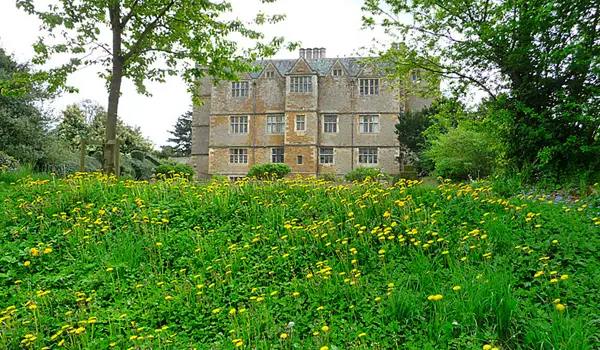
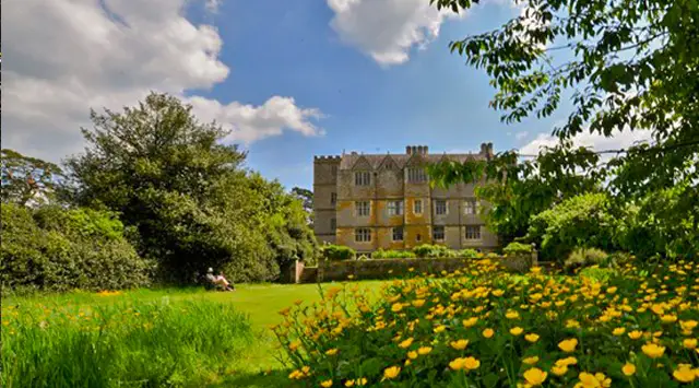
Chastleton House · Photo: Michael Garlick

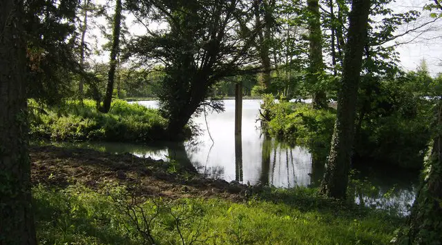
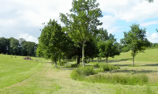
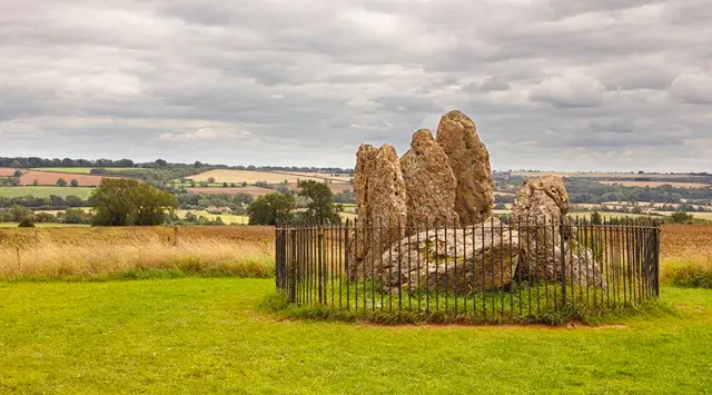
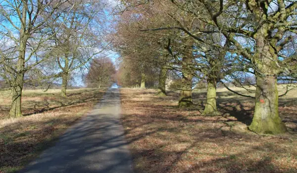
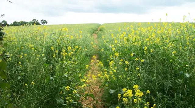
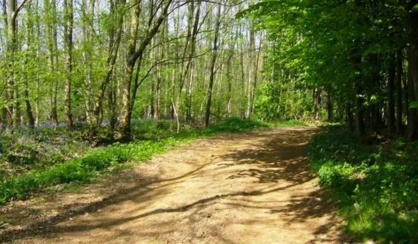
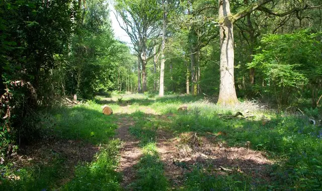
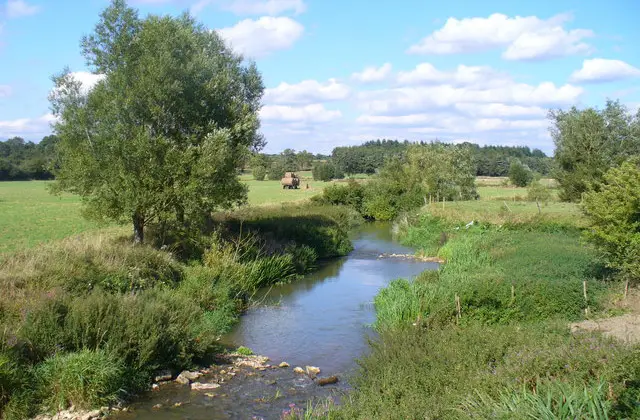
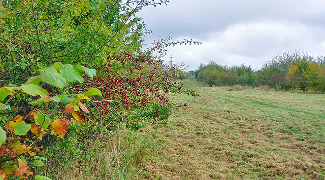
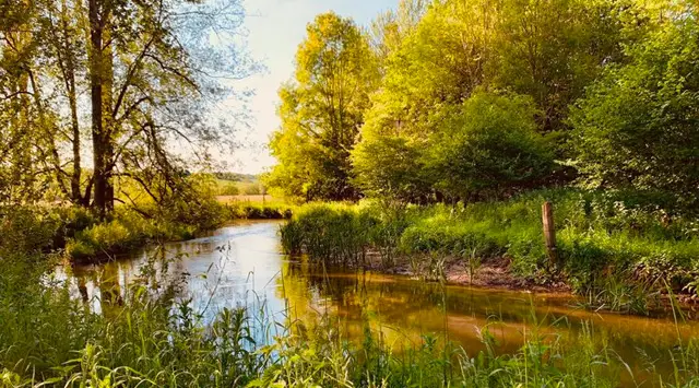
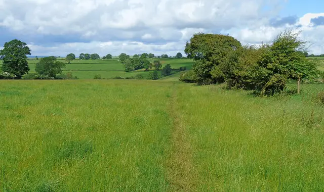
Explore the rolling countryside around Chastleton House in Oxfordshire with these walks, where farmland, gentle hills, and historic villages create a wonderfully scenic setting.

Download the Oxfordshire Walks App to follow these routes with real-time GPS navigation.

Download on the App Store Get it on Google Play

Walk information

Chastleton House Walk 1

Walk distance
1 mile
Time
30 mins
Route type
Circular

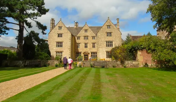
This is a lovely short family-friendly loop around the Chastleton House National Trust property.

The loop visits the house itself that you can enter for a fee (see National Trust website for details) and then loops round on a short stroll through pleasant countryside and woodland.

Chastleton House Walk 1 4.0 Ratings and reviews 1 rating

Based on 1 user rating

Community feedback

Overall rating4.0

A very popular walk

Dog friendly4.0 / 5
Path condition2.0 / 5
Buggy friendly4.0 / 5
Wheelchair friendly4.0 / 5
Toilet facilities4.0 / 5
Pub or café3.0 / 5
Route accuracy5.0 / 5
ClimbingPlenty of climbing
LivestockLivestock likely
StilesNo stiles
Mud levelMay be muddy after wet weather

Real feedback from people who have completed this walk using the Oxfordshire Walks app.

Walk information

Chastleton House Walk 2

Walk distance
3¾ miles
Time
2 hours
Route type
Circular

This middle route is a nice casual walk around the countryside that you'll find between the villages of Chastleton and Adlestrop.

You'll visit Chastleton house of course (fee applicable if you want to go in) as well as visiting both villages and enjoying lots of lovely countryside. There is some moderate hill climbing on the route.

Chastleton House Walk 2 4.0 Ratings and reviews 5 ratings · 1 review

Based on 5 user ratings

Community feedback

Overall rating4.0

A very popular walk

Dog friendly2.4 / 5
Path condition3.4 / 5
Buggy friendly0.6 / 5
Wheelchair friendly0.8 / 5
Toilet facilities1.0 / 5
Pub or café0.4 / 5
Route accuracy4.4 / 5
ClimbingSome climbing
LivestockRarely any livestock
StilesA stile or two
Mud levelWellies when wet

Real feedback from people who have completed this walk using the Oxfordshire Walks app.

First-hand experiences

User reviews

Walker review

We walked this in early April 2021. A couple of the stiles were completely broken, presumably a result of the extra foot traffic over last year. It made climbing over quite awkward and thankfully my dog is small enough to lift him over easily.

Walk information

Chastleton House Walk 3

Walk distance
6¼ miles
Time
3 hours
Route type
Circular

This longer route is a lovely walk through some undulating countryside around Chastleton.

Aside from the short stroll into Chastleton itself (where you can visit the National Trust property for a fee), it then ventures out and climbs Chastleton Hill which affords some nice views.

Finally, you'll visit the village of Cornwell and then the Chastleton Barrow on the way back around to the start.

There is a reasonable amount of road walking on this route.

Chastleton House Walk 3 4.0 Ratings and reviews 1 rating · 1 review

Based on 1 user rating

Community feedback

Overall rating4.0

A very popular walk

Dog friendly0.0 / 5
Path condition3.0 / 5
Buggy friendly2.0 / 5
Wheelchair friendly2.0 / 5
Toilet facilities2.0 / 5
Pub or café2.0 / 5
Route accuracy3.0 / 5
ClimbingSome climbing
LivestockLivestock likely
StilesA stile or two
Mud levelBoots recommended

Real feedback from people who have completed this walk using the Oxfordshire Walks app.

First-hand experiences

User reviews

Walker review

The walk seemed quite farm oriented (tracks) rather than countryside (paths across fields). The walk along the (main) roadside was unpleasant and the traffic was fast. It felt vulnerable and I would have preferred going through a field instead.

Navigate the walks

Oxfordshire Walks App

Follow the Chastleton House walks with GPS guidance

It's like sat-nav, but for footpaths.

Choose a walk and follow the pointer showing your live position on the route map, so you always know you're on the right path.

The app works without a phone signal, so you can keep following the route wherever the walk takes you.

Download the app

Download on the App Store Get it on Google Play
Oxfordshire Walks app showing the walker's live position on a route map

Designed to be simple

  • Choose a walk and follow the pointer
  • See your live position on the route map
  • Works without a phone signal
  • Includes 250+ Oxfordshire walks
  • Free one-month trial
  • Available for iPhone and Android

Explore the area

Nearby walks

Explore the county

Oxfordshire walks map

Map data © OpenStreetMap contributors

Search Oxfordshire walks

See where the walks start, explore the area and tap a pin to find a route for your next adventure.

Search Oxfordshire walks
Expanded route map for Chastleton House Walk 1, a 1 mile circular walk in Oxfordshire