

Upper Tysoe walk 01
Upper Tysoe Walk
- Walk distance
- 5¼ miles
- Time
- 2.5 hours
- Route type
- Circular
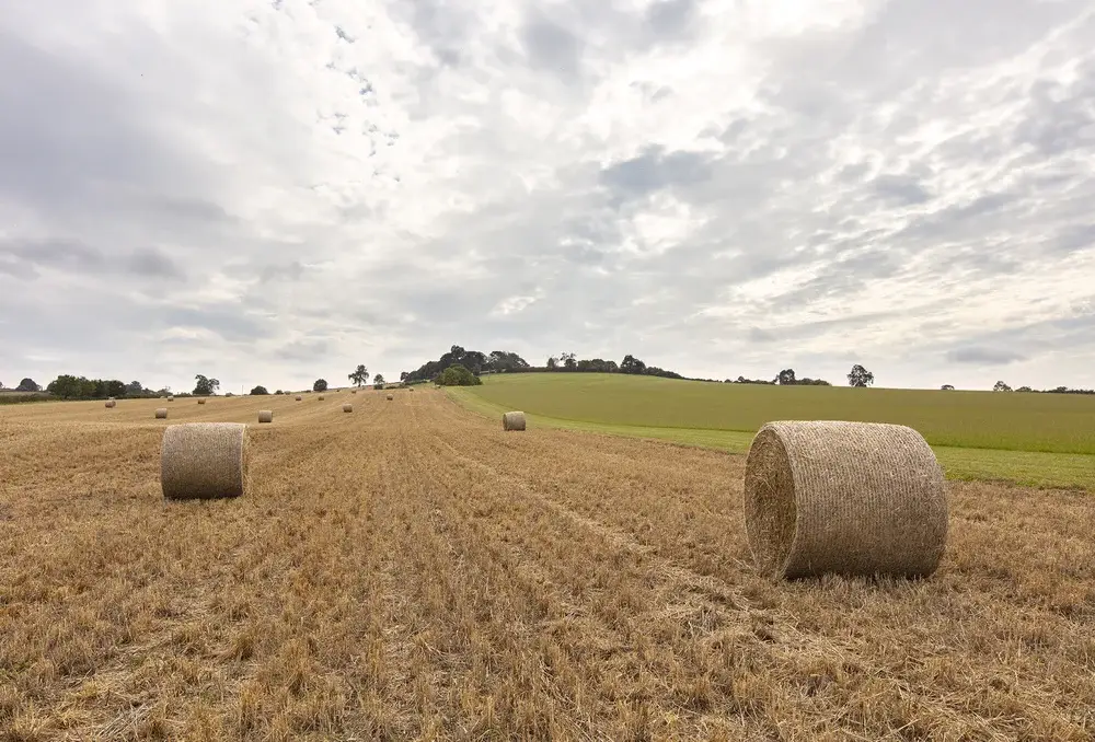
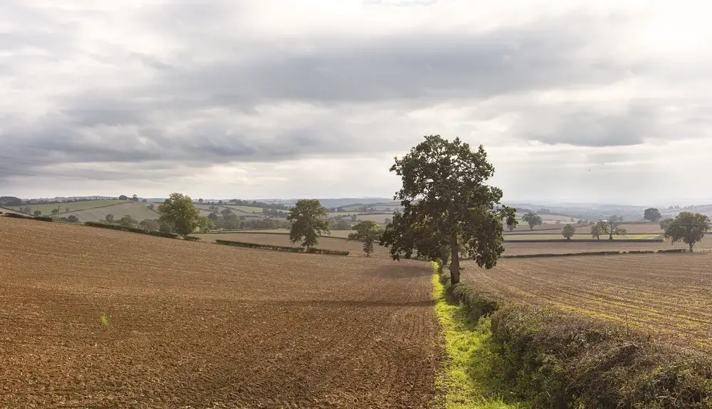
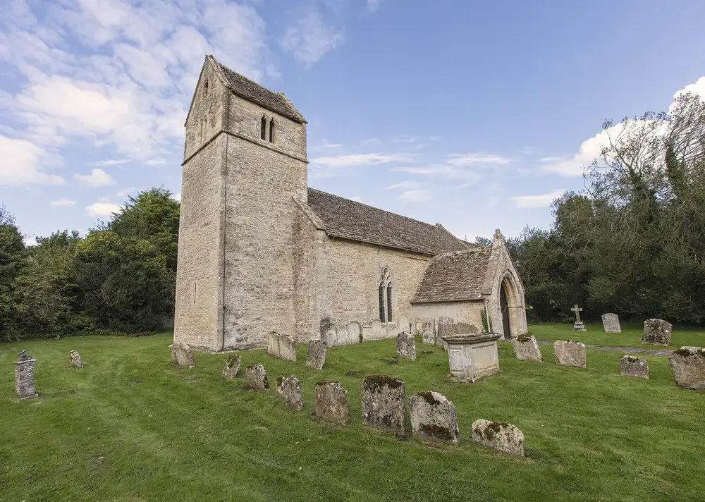
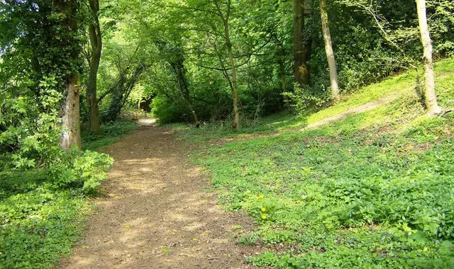
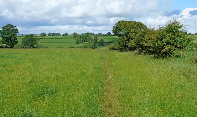
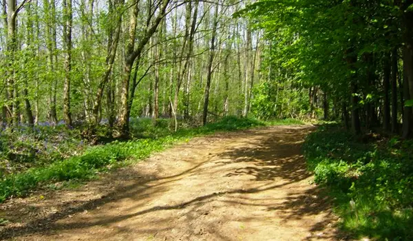
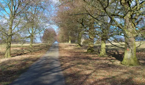
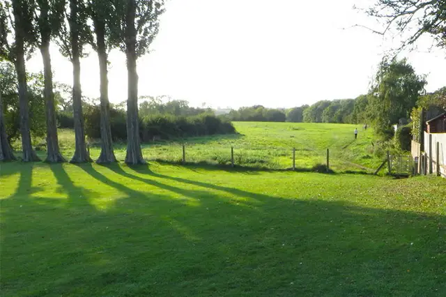
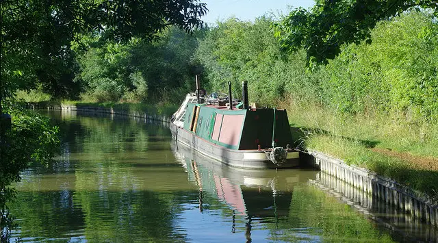
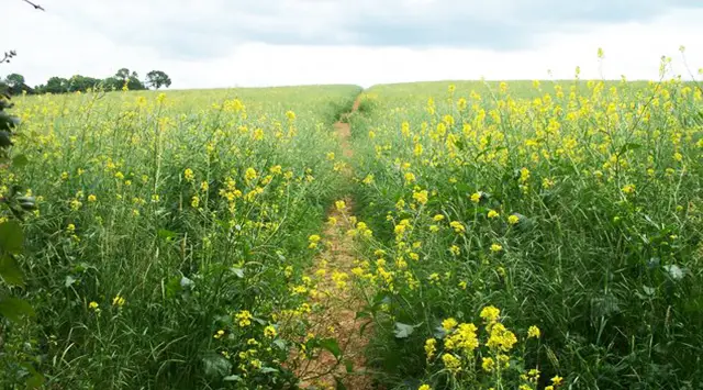
We are heading ‘up north’ for this week’s walk - well to the far north of Oxfordshire and just into Warwickshire to be precise. Starting from the village of Upper Tysoe the route passes through some really beautiful countryside and outstanding views. There are a few gradients but nothing too challenging
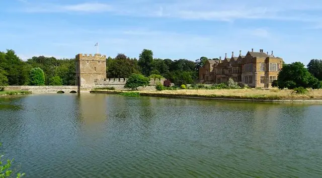
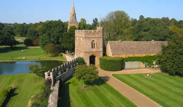
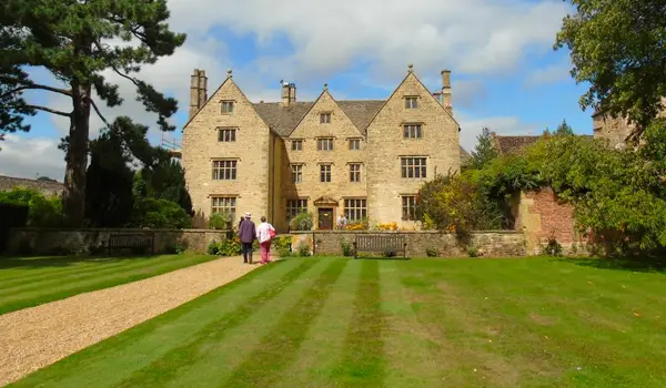
Most of the walk is actually in Warwickshire and includes or passes places of historical interest. Compton Wynyates for instance, is a wonderful Tudor house, where Henry Vlll used to stay; it is now home to the Marquis of Northampton.
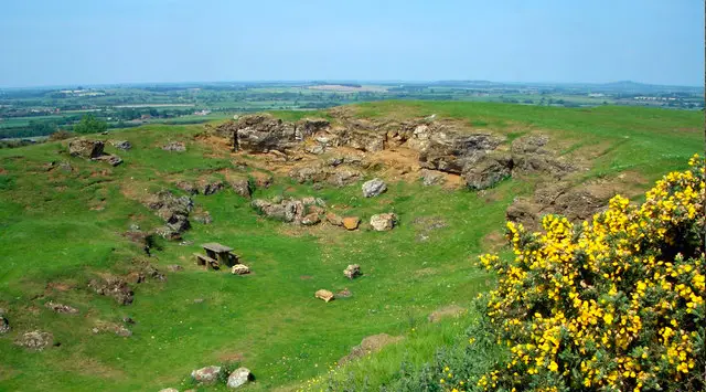
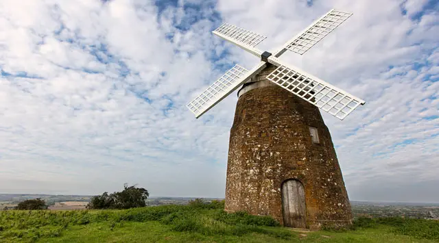
The best part of the walk is towards the end when you reach the top of the high Windmill Hill which lies between two parishes, Tysoe and Compton Wynyates. From here you have great views to the Burton Dassett hills, and ahead of you into the Cotswolds.
The windmill was built in the early 18th century. The structure is a 12 sided, barrel shaped stone tower with batter. The conical cap is covered in aluminium with finial and tail projection for winding gear, two stones, and the windmill still contains all its machinery.
After spending time with the windmill you head back down to Upper Tysoe.
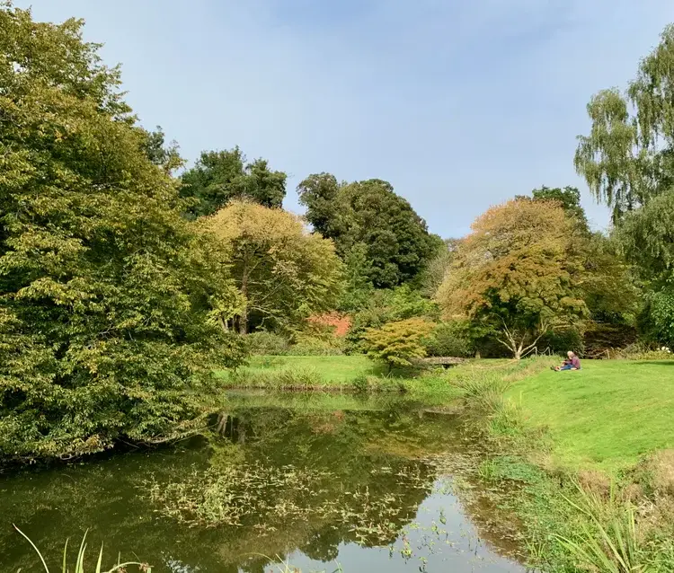
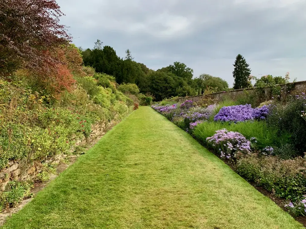
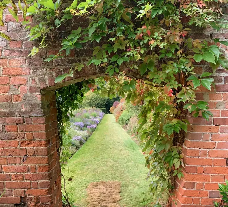
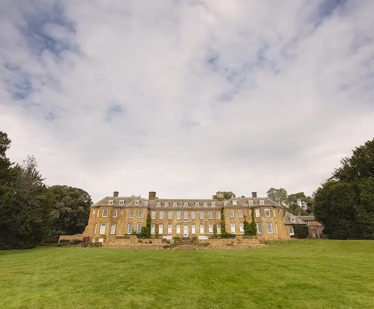
If you can take time to visit the National Trust’s Upton House and Gardens a honey-coloured country house with dramatic terraced gardens and world-renowned art collection. Whilst the gardens are not quite up to their normal glory because of the current situation they are still a delight to explore. This is the 1930s home of Lord and Lady Bearsted. Whilst there you can have a take away drink and snack from the Pavilion cafe.
Please note: You will need to book to visit Upton House on the National Trust website: https://www.nationaltrust.org.uk/upton-house-and-gardens?PlaceMapClick=346