

Oxfordshire Walks

Faringdon Walk and Route Map

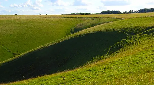
Faringdon walk, Oxfordshire
Faringdon · Photo: Vieve Forward

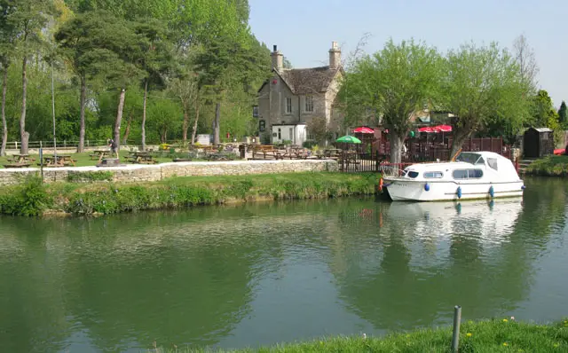
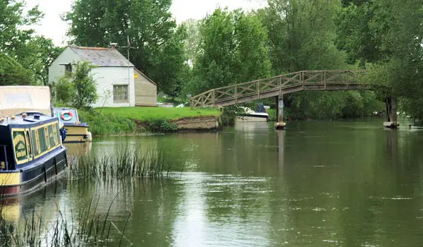
These walks from the historic market town of Faringdon offer a wonderful mix of town and countryside, with routes to suit both relaxed strolls and longer adventures.

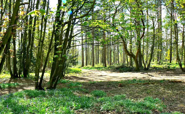
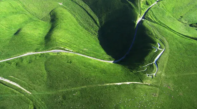
From gentle wanders up to the iconic Faringdon Folly Tower for sweeping views, to more ambitious outings across open fields and through woodland, the walks showcase the area’s varied landscape.

Download the Oxfordshire Walks App to follow these routes with real-time GPS navigation.

Download on the App Store Get it on Google Play

On a computer? Scan the QR code with your phone's camera to get the Oxfordshire Walks app.

Walk information

Faringdon Walk 1

Walk distance
1¾ miles
Time
1 hour
Route type
Circular

This is a short and pretty family-friendly stroll around the market town of Faringdon. You'll walk through the town itself and then venture out to visit the Faringdon Folly for some nice views.

There are plenty of options for refreshments in the town itself.

Walk information

Faringdon Walk 2

Walk distance
7¾ miles
Time
4 hours
Route type
Circular

This is a much longer walk if you want to stretch your legs and explore the countryside to the east of Faringdon.

You'll cross open countryside, walk through some pretty woodland and visit the Folly Tower on route to take in the scenic views.

There are plenty of places to eat and drink in the market town of Farringdon.

Walk information

Faringdon Walk 3

Walk distance
10½ miles
Time
5 hours
Route type
Circular

This is quite a long walk with a couple of hills to climb but is a delightful taking you from Faringdon to the delightful villages of Buckland and Pusey.

Enjoy the picturesque countryside along the way, following clear paths and tracks. You'll also have the chance to catch a glimpse of the stunning Buckland House and a beautifully restored dovecote.

There are plenty of places to eat and drink in the market town of Farringdon.

These Faringdon walks start at coordinates: 51.65759, -1.58397

Navigate the walks

Oxfordshire Walks App

Follow the Faringdon walks with GPS guidance

It's like sat-nav, but for footpaths.

Choose a walk and follow the pointer showing your live position on the route map, so you always know you're on the right path.

The app works without a phone signal, so you can keep following the route wherever the walk takes you.

Download the app

Download on the App Store Get it on Google Play

On a computer? Scan the QR code with your phone's camera to get the Oxfordshire Walks app.

Oxfordshire Walks app showing the walker's live position on a route map

Designed to be simple

  • Choose a walk and follow the pointer
  • See your live position on the route map
  • Works without a phone signal
  • Includes 250+ Oxfordshire walks
  • Free one-month trial
  • Available for iPhone and Android

Explore the area

Nearby walks

Explore the county

Oxfordshire walks map

Map data © OpenStreetMap contributors

Search Oxfordshire walks

See where the walks start, explore the area and tap a pin to find a route for your next adventure.

Search Oxfordshire walks
Expanded route map for Faringdon Walk 1, a 1.75 mile circular walk in Oxfordshire