

Oxfordshire Walks

10 great walks in and around Banbury

10 great walks in and around Banbury, Oxfordshire

If you like walking and you are looking for some new routes to explore, here are 10 walks near Banbury that you can find on the Oxfordshire Walks app.

Download the Oxfordshire Walks App to follow these routes with real-time GPS navigation.

Download on the App Store Get it on Google Play

On a computer? Scan the QR code with your phone's camera to get the Oxfordshire Walks app.

Walk details

Lower Brailes

2 walks of 2.75 miles and 4.75 miles

The first is is a lovely short stroll around the pretty Cotswold village of Lower Brailes, just over the border into Warwickshire. The route takes you through some nice open countryside for fresh air, it takes you to the top of Castle Hill for some nice views and it visits the village itself with it's lovely pub and nice church.

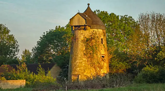
The second is a lovely circular walk around the undulating countryside that you'll find around the Brailes villages, just over the county border into Warwickshire. There can be mud on the route, so please wear appropriate footwear if it's wet, and be prepared for some hill climbing. There is a lovely pub in the village of Lower Brailes itself.

Walk details

Claydon Locks

3.75 miles

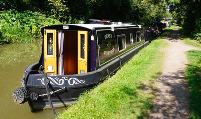
This is a lovely simple stroll in the Oxfordshire countryside around the village of Claydon. The bulk of the walk is about peaceful canal-side walking and you'll walk a long stretch alongside the Oxford canal passing a series of locks as you go. The rest of the walk loops back around to the carpark via quite country lanes and open field footpaths.

Walk details

North Newington

Walk distance
3 miles
Time
1.5 hours
Route type
Circular

3 miles

This Oxfordshire walk starts in North Newington village and it takes you on a journey to Broughton Castle, which is a medieval fortified manor house. The walk continues through parkland, across open countryside and farmland before reaching the village of Broughton and then working it's way back to the start point. There is some road walking on this route and there are nice pubs in both villages.

View the walk and route map

Walk details

Cropredy

Walk distance
2¾ miles
Time
1.5 hours
Route type
Circular

2.75 miles

This is a lovely casual walk from the pretty village of Cropredy in Oxfordshire. The walk visits the village itself with it's delightful pub and then takes you on a loop that walks alongside the Oxford Canal for a decent stretch and also enjoys some nice open countryside.

View the walk and route map

Walk details

Upper Tysoe

Walk distance
5¼ miles
Time
2.5 hours
Route type
Circular

5.25 miles

This is a delightful walk in the hills that you'll find to the south of Upper Tysoe (which is just over the county border into Warwickshire). You will ramble around and over both the Lady Elizabeth's and Windmill Hills, so you'll use up a fair amount of energy on this walk. Of course, you'll be rewarded with some great views and lots of fresh air for your efforts.

View the walk and route map

Walk details

Deddington

Walk distance
1 - 6¼ miles
Time
30 mins - 3 hours
Route type
Circular

2 walks of 1 mile and 6.25 miles

The first walk is a nice short family-friendly stroll around the small town of Deddington. You'll visit the pretty Saints Peter and Paul church before venturing out to roam around the site where earthworks mark the existence of the 11th century Deddington Castle. There are pubs and eating options in the town centre if you want to make this a pub walk.

The second walks is more substantial walk starts in the small town of Deddington where you will find numerous shops, pubs and restaurants. The route takes you through the lovely Oxfordshire countryside, including country lanes and farmland. Half way around, you will walk through the hamlet of Clifton. If you make this a pub walk, you can visit a pub in either Deddington at the end of the route, or in Clifton half way around.

View the walks and route maps

Navigate the walks

Oxfordshire Walks App

Download the Oxfordshire Walks app

It's like sat-nav, but for footpaths.

Choose a walk and follow the pointer showing your live position on the route map, so you always know you're on the right path.

The app works without a phone signal, so you can keep following the route wherever the walk takes you.

Download the app

Download on the App Store Get it on Google Play

On a computer? Scan the QR code with your phone's camera to get the Oxfordshire Walks app.

Oxfordshire Walks app showing the walker's live position on a route map

Designed to be simple

  • Choose a walk and follow the pointer
  • See your live position on the route map
  • Works without a phone signal
  • Includes 250+ Oxfordshire walks
  • Free one-month trial
  • Available for iPhone and Android

Explore the county

Oxfordshire walks map

Map data © OpenStreetMap contributors

Search Oxfordshire walks

See where the walks start, explore the area and tap a pin to find a route for your next adventure.

Search Oxfordshire walks
Expanded route map for North Newington