
At a glance
West Hanney Walk
- Distance
- 2.75 miles
- Estimated time
- 1.5 hours
- Route type
- Circular
- GPS app guided
- Yes
- Parking
- Limited parking at start 51.63367, -1.41425
- Characteristics
- Countryside
Oxfordshire Walks
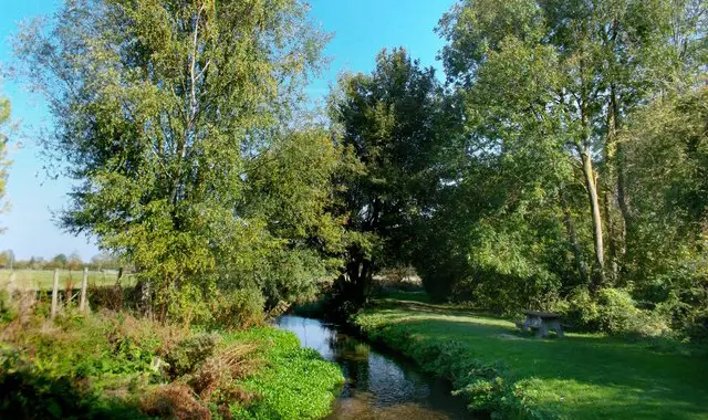
This walk is a short and easy circular route linking the pretty villages of West Hanney and East Hanney in Oxfordshire.
It follows gentle countryside paths and a peaceful stretch alongside the brook, with village views throughout.
Download the Oxfordshire Walks App to follow this route with real-time GPS navigation.


At a glance
The walk
This is a simple short circular walk between the pretty villages of West Hanney and East Hanney.
There's a bit of nice countryside to enjoy and a delightful stroll alongside the brook.
You'll also visit both villages and each has a lovely pub to enjoy!
Based on 5 user ratings
A well-liked walk
Fine with dogs
Generally well maintained
Hard going with a buggy
Not wheelchair accessible
No facilities
Not much on route
Spot on
Real feedback from people who have completed this walk using the Oxfordshire Walks app.
First-hand experiences
Lovely little walk, only took us an hour. Lots of little kissing gates so wouldnt be great with wheelchairs or buggies. Pretty muddy in parts as of March 2025, but in wellies it was perfectly do-able. Overall, lovely short stroll to get out the house.
A field towards the end (if walked clockwise) had a rope fence, you can take a detour via the road if needed. After rain, take wellies. Nice little walk.
Part of the walk (the loop by the brook) was temporarily closed off for OCC path maintenance. We found a way through a public field. One footpath by a farm has an electric fence across it (to keep a horse in) but the farmer said it was fine to go under and carry on.
Comments from walkers who have completed the West Hanney walk.
Navigate the walks
The easiest way to follow this route is with the Oxfordshire Walks app. Choose the walk and follow the pointer showing your live position on the route map, so you can see you're on the right path.
The app works without a phone signal, so you can keep following the route wherever the walk takes you.

Explore the area
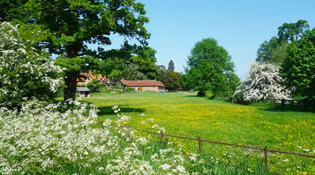 2.75-7.5 miles
 1.5 miles
 9.5 miles
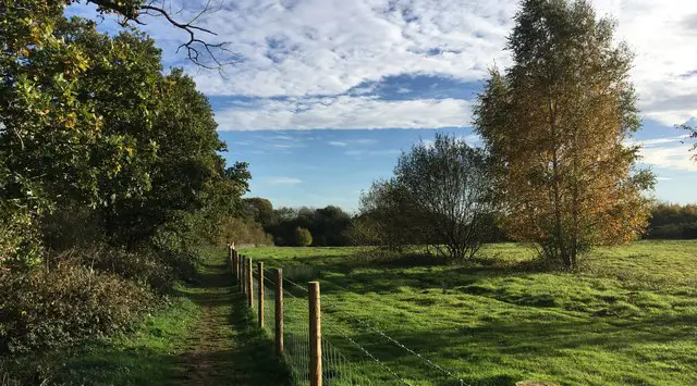 0.5-3 miles
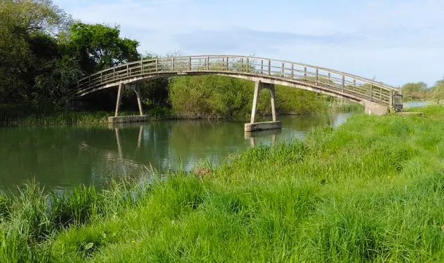 4.5 miles
 3.5-5.75 miles
 6 miles
 2.5-8.75 miles
 3.75-5.5 miles
 1.75 miles
 3.75 miles
 4.75 miles
 1.75-10.5 miles
 5.5 miles
 2.25 miles
Explore the county
See where the walks start, explore the area and tap a pin to find a route for your next adventure.
Search Oxfordshire walks