Kent Walks

Frittenden Walks & Route Maps

Frittenden walk, Kent
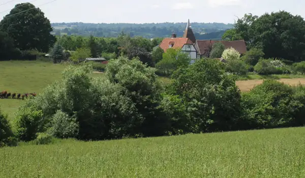
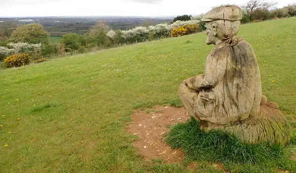
Frittenden · Photo: David Anstiss

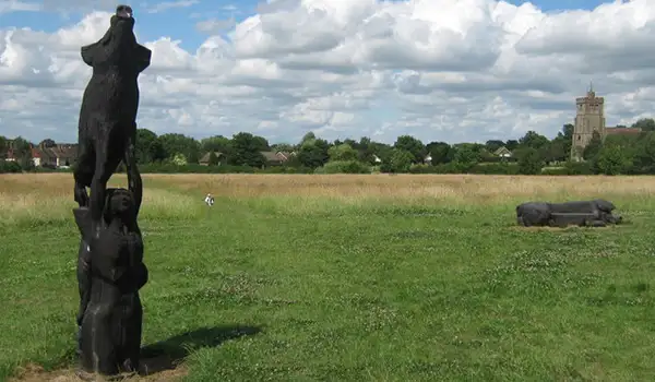
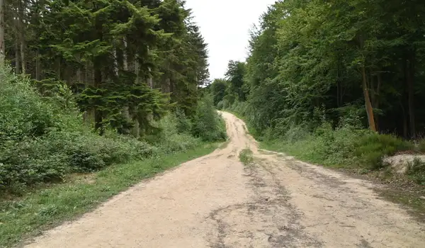
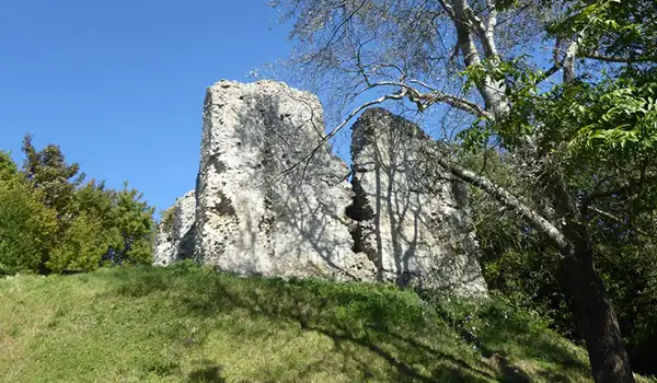
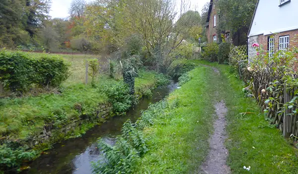
These walks explore the countryside around Frittenden in Kent, where quiet lanes, open fields and pockets of ancient woodland create a gentle Low Weald landscape full of variety and calm.

Both routes return to the village at the end, with the shorter walk staying close to Frittenden itself and the longer walk venturing through Leggs Wood and Maplehurst Wood before opening out across farmland and looping back to finish at the Bell and Jorrocks pub.

Download the Kent Walks App to follow these routes with real-time GPS navigation.

Download on the App Store Get it on Google Play

Walk information

Frittenden Walk 1

Walk distance
3 miles
Time
1.5 hours
Route type
Circular

This shorter route around Frittenden is a simple stroll in the peaceful countryside surrounding the village.

The walk finishes back in the heart of the village passing a lovely local pub offering well-earned refreshments.

Frittenden Walk 1 No ratings yet Be the first - rate this walk in the Kent Walks App

Walk information

Frittenden Walk 2

Walk distance
6¼ miles
Time
3 hours
Route type
Circular

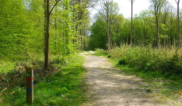
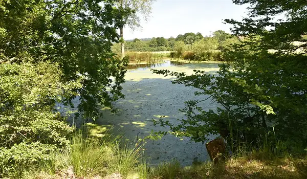
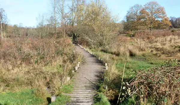
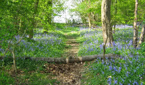
This longer Frittenden route sets out through the shaded paths of Leggs Wood, where oak and hornbeam tower above and bluebells brighten the ground in spring. Maplehurst Wood follows, another pocket of ancient woodland alive with seasonal colour and long-standing wildlife habitats.

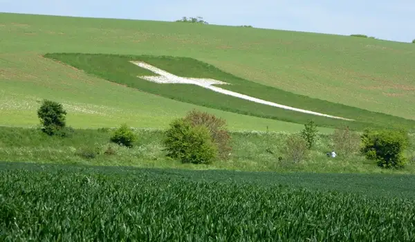
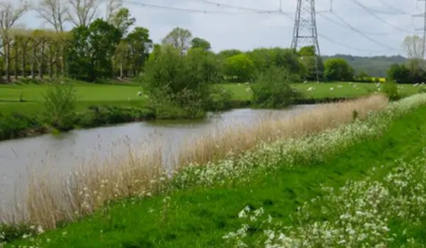
The walk then opens into wide farmland, a patchwork of fields and hedgerows that has been worked for centuries. Skylarks can sometimes be heard overhead, while deer or hares may move across the open ground.

It all rounds off back in the village at the Bell and Jorrocks, a well-known pub that marks the end of this longer exploration of the Low Weald’s woodlands and fields.

Frittenden Walk 2 4.0 Ratings and reviews 1 rating

Based on 1 user rating

Community feedback

Overall rating4.0

A very popular walk

Dog friendly4.0 / 5
Path condition4.0 / 5
Buggy friendly1.0 / 5
Wheelchair friendly1.0 / 5
Toilet facilities1.0 / 5
Pub or café3.0 / 5
Route accuracy5.0 / 5
ClimbingSome climbing
LivestockRarely any livestock
StilesA stile or two
Mud levelMostly dry

Real feedback from people who have completed this walk using the Kent Walks app.

Navigate the walks

Kent Walks App

Follow the Frittenden walks with GPS guidance

It's like sat-nav, but for footpaths.

Choose a walk and follow the pointer showing your live position on the route map, so you always know you're on the right path.

The app works without a phone signal, so you can keep following the route wherever the walk takes you.

Download the app

Download on the App Store Get it on Google Play
Kent Walks app showing the walker's live position on a route map

Designed to be simple

  • Choose a walk and follow the pointer
  • See your live position on the route map
  • Works without a phone signal
  • Includes 150 Kent walks
  • Free one-month trial
  • Available for iPhone and Android

Explore the area

Nearby walks

Explore the county

Kent walks map

Map data © OpenStreetMap contributors

Search Kent walks

See where the walks start, explore the area and tap a pin to find a route for your next adventure.

Search Kent walks
Expanded route map for Frittenden Walk 1, a 3 mile circular walk in Kent