

Gloucestershire Walks

Nagshead Walks and Route Maps

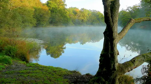
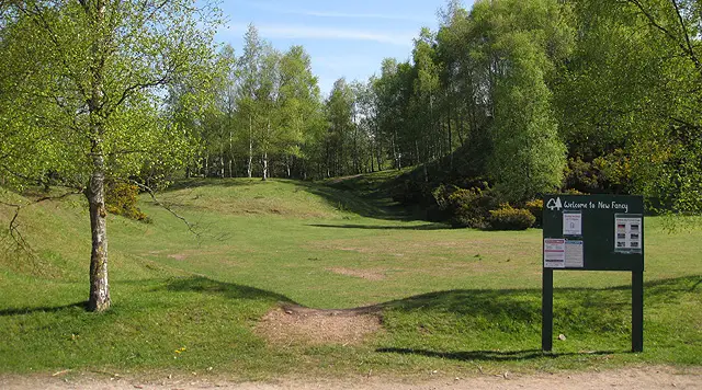
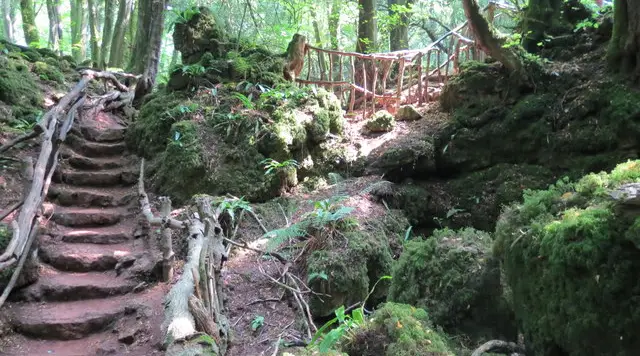
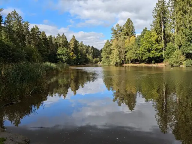
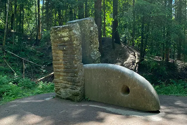
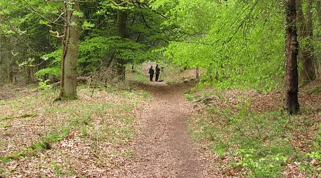
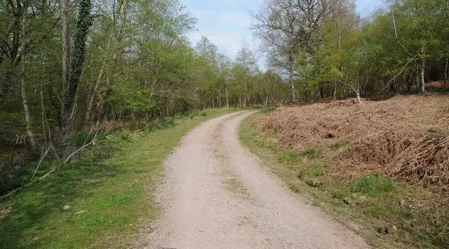
Path climbing through mixed woodland at Nagshead in the Forest of Dean
Nagshead · Photo: Richard Webb

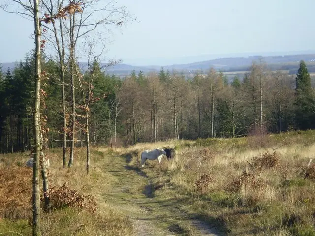
Nagshead sits in the Forest of Dean, near Parkend, and is best known for the RSPB's Nagshead reserve, where ancient woodland and wetland share the same ground. It is a quiet corner of the Forest, with waymarked trails of different lengths and free parking at the start.

The two walks here both begin beside Black Spell Brook and climb early on towards Nagshead Plantation. The shorter circuit is a compact outing that keeps close to the plantation and the upland edge of the Forest. The longer route takes in the same ground, then loops out to pass near the hamlets of Fetter Hill and Gorsty Knoll, with Coalway and Broadwell a little further off, before returning through the plantation.

Expect a steady climb at the start of each walk and gentler going after that. Both make an easy morning or afternoon in the Forest of Dean.

Download the Gloucestershire Walks App to follow these routes with real-time GPS navigation.

Download on the App Store Get it on Google Play

On a computer? Scan the QR code with your phone's camera to get the Gloucestershire Walks app.

Nagshead walk 01

Nagshead Short Walk

Walk distance
2¼ miles
Time
1 hour
Route type
Circular

A short woodland-edge circuit in the Forest of Dean, built around Nagshead Plantation, where ancient woodland and wetland make up the RSPB's Nagshead reserve. The walk begins beside Black Spell Brook and soon turns uphill.

The main effort comes early, with a steady climb through the first part of the walk to reach the plantation. After that the going is gentler. Fetter Hill lies a little way off to one side, and the high point of the route gives a feel of the open upland edge of the Forest. It suits a short morning or afternoon out.
Nagshead Short Walk View and rate this walk in the Gloucestershire Walks App

Nagshead walk 02

Nagshead Longer Walk

Walk distance
4 miles
Time
2 hours
Route type
Circular

A longer circuit that reaches Nagshead Plantation early, then loops out across quieter woodland on the edge of the Forest of Dean. The reserve combines ancient woodland and wetland, and it is the main reason to come here.

After the first climb the walk eases into gentler ground. The hamlets of Fetter Hill and Gorsty Knoll, and the locality of Palmers Flat, lie a short way off the route, while Coalway and Broadwell sit further out towards the far point. Black Spell Brook is crossed near the start, and the route finishes by passing back through the plantation.

There is one main climb, with the rest of the walk rolling and fairly mild. A good half-day walk.

Nagshead Longer Walk View and rate this walk in the Gloucestershire Walks App

Navigate the walks

Gloucestershire Walks App

Follow the Nagshead walks with GPS guidance

It's like sat-nav, but for footpaths.

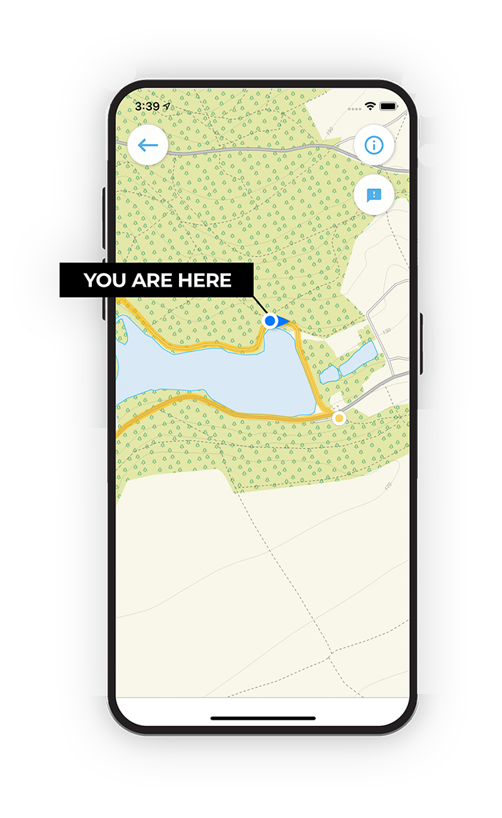
Choose a walk and follow the pointer showing your live position on the route map, so you always know you're on the right path.

The app works without a phone signal, so you can keep following the route wherever the walk takes you.

Download the app

Download on the App Store Get it on Google Play

On a computer? Scan the QR code with your phone's camera to get the Gloucestershire Walks app.

Gloucestershire Walks app showing the walker's live position on a route map

Designed to be simple

  • Choose a walk and follow the pointer
  • See your live position on the route map
  • Works without a phone signal
  • Includes 200 Gloucestershire walks
  • Free one-month trial
  • Available for iPhone and Android

Explore the area

Nearby walks

Explore the county

Gloucestershire walks map

Map data © OpenStreetMap contributors

Search Gloucestershire walks

See where the walks start, explore the area and tap a pin to find a route for your next adventure.

Search Gloucestershire walks
Expanded route map for Nagshead Short Walk, a 2.25 mile circular walk in Gloucestershire