
At a glance
Aston-on-Trent Walk
- Distance
- 5.75 miles
- Estimated time
- 3 hours
- Route type
- Circular
- GPS app guided
- Yes
- Parking
- Roadside parking in village 52.86155, -1.38510
- Characteristics
- Water, Countryside, History, Pub
- Ascent
- 20 m
Derbyshire Walks
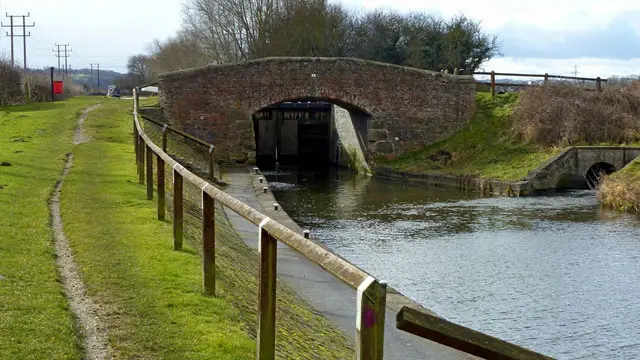
This walk is an easy-going route from Aston-on-Trent to the historic inland port of Shardlow.
This walk explores the characterful wharf before returning along the peaceful canal towpath past Shardlow Lock and Aston Lock, with plenty of refreshment options along the way.
Download the Derbyshire Walks App to follow this route with real-time GPS navigation.


At a glance
The walk
This easy-going, enjoyable walk takes you from Aston-on-Trent to Shardlow, an interesting inland canal port considered by many to be one of the best kept in England. After exploring the wharf, the final half of the walk takes you along the canal towpath past Shardlow Lock and Aston Lock.
You will find a number of places to stop for refreshments on route, why not try The Malt Shovel at The Wharf, Shardlow or Canal Bank Tearooms by the canal tow path.
There is a lot of road walking which will not suit everyone, however the roads are not particularly busy and there are roadside paths for most of the way. If you want to avoid the roads you could do the walk in reverse (anti-clockwise) and walk to Shardlow Warf, explore and then return back along the tow path.
Based on 2 user ratings
A well-liked walk
Dog heaven
Generally well maintained
Hard going with a buggy
Very limited access
Some facilities
Amazing stop
Spot on
Real feedback from people who have completed this walk using the Derbyshire Walks app.
First-hand experiences
Enjoyable walk along the canal and a couple of decent pubs to stop and have a drink/food just over half way. The app map/directions were spot on! Would definitely do the walk again.
Would love to cone back in the summer
Comments from walkers who have completed the Aston-on-Trent walk.
Time for a stop
Navigate the walks
The easiest way to follow this route is with the Derbyshire Walks app. Choose the walk and follow the pointer showing your live position on the route map, so you can see you're on the right path.
The app works without a phone signal, so you can keep following the route wherever the walk takes you.

Explore the area
 2.25-3.5 miles
 2.25-5 miles
 1.25-5.5 miles
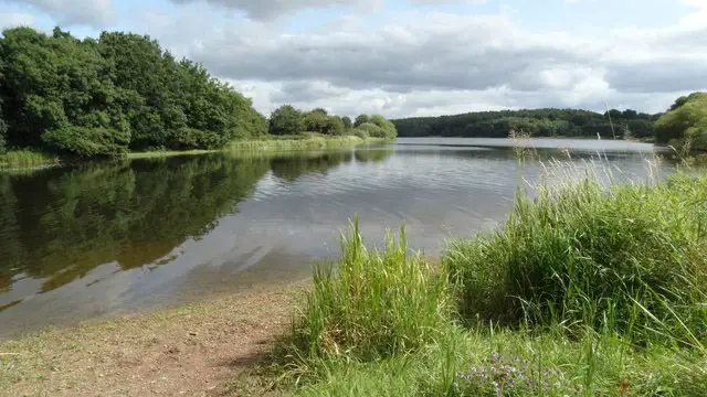 2.75 miles
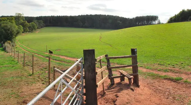 3-6.75 miles
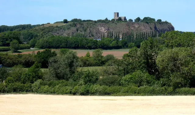 6.5 miles
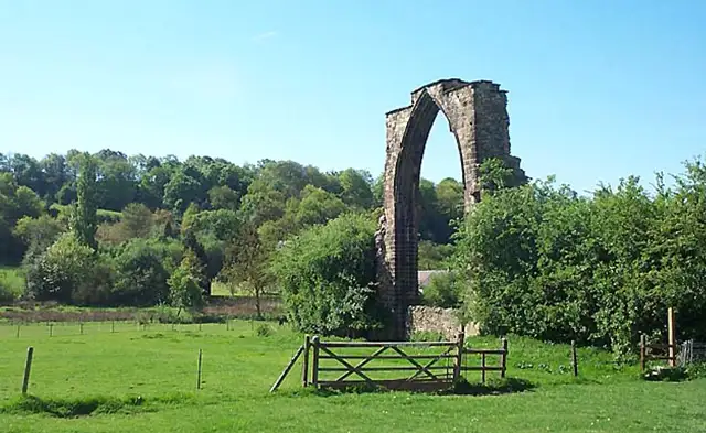 3.5-5.25 miles
 1.75 miles
 4.5 miles
 2.25-4 miles
 1.5-2.25 miles
 4.75-6.75 miles
 1.25-4 miles
 3.5-8.5 miles
 2.75-5.5 miles
Explore the county
See where the walks start, explore the area and tap a pin to find a route for your next adventure.
Search Derbyshire walks