

Sussex Walks

Hurstwood Walks & Route Maps

Hurstwood walk, Sussex
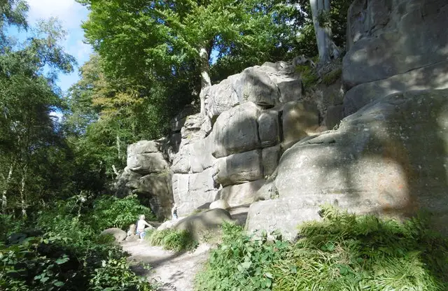
Hurstwood · Photo: Dave Spicer

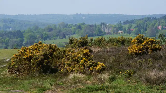
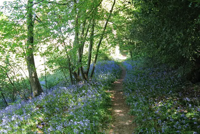
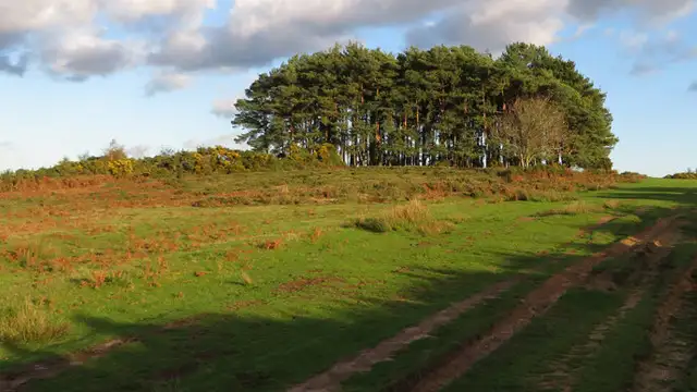
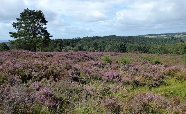
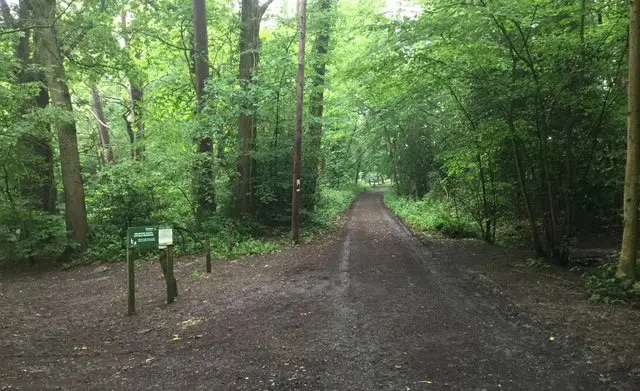
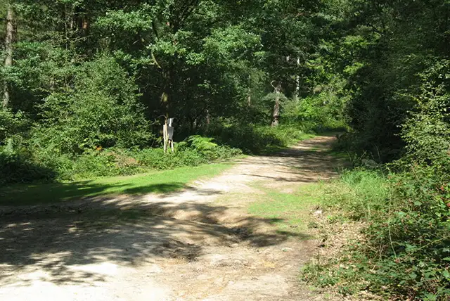
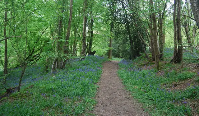
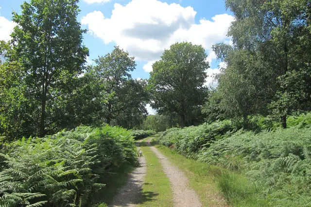
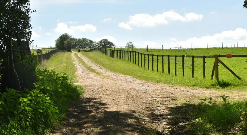
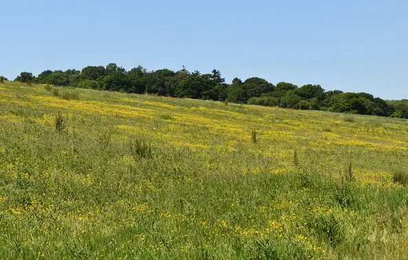
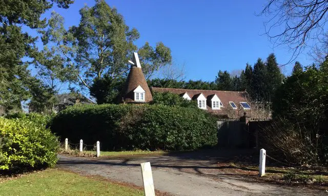
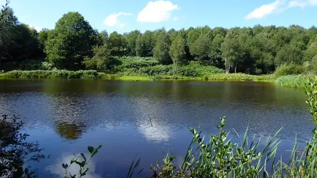
These walks from Hurstwood offer a relaxed way to explore the High Weald, with a shorter route for an easy outing and a longer option that covers more ground.

You’ll follow a mix of farmland and woodland paths, with sections of the Sussex Diamond Way on both routes, while the longer walk also links into the Vanguard Way and passes the impressive Greenhurst Viaduct.

Both routes loop back past The Hurstwood pub, making it a convenient spot to finish your walk.

Download the Sussex Walks App to follow these routes with real-time GPS navigation.

Download on the App Store Get it on Google Play

Walk information

Hurstwood Walk 1

Walk distance
2¼ miles
Time
1 hour
Route type
Circular

The first route is a short walk that taps into the Sussex Diamond Way, a long-distance trail created in 2009.

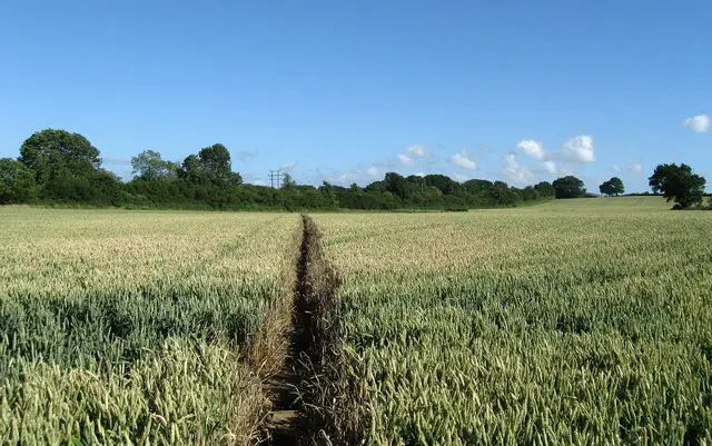
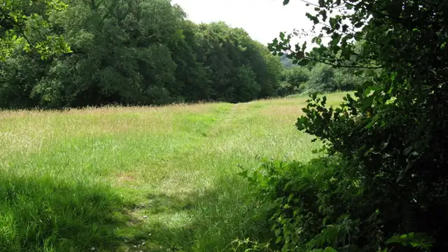
Around Hurstwood, it crosses rolling High Weald countryside shaped by farmland and pockets of woodland.

This compact route keeps things relaxed before returning past The Hurstwood pub for refreshments.

Hurstwood Walk 1 No ratings yet Be the first - rate this walk in the Sussex Walks App

Walk information

Hurstwood Walk 2

Walk distance
4¾ miles
Time
2.5 hours
Route type
Circular

This longer walk builds on the first, linking the Sussex Diamond Way with the 66-mile Vanguard Way, opened in 1981 between Croydon and Newhaven.

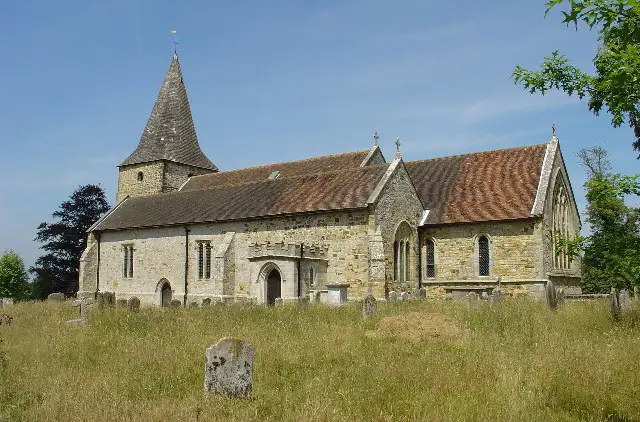
The walk goes past Greenhurst Viaduct, a 19th-century brick railway structure from the Hailsham to Eridge line, standing as a reminder of the area’s Victorian engineering past.

The walk concludes back past The Hurstwood pub after a fuller exploration of the surrounding countryside.

Hurstwood Walk 2 5.0 Ratings and reviews 1 rating

Based on 1 user rating

Community feedback

Overall rating5.0

An outstanding walk

Dog friendly0.0 / 5
Path condition5.0 / 5
Buggy friendly0.0 / 5
Wheelchair friendly0.0 / 5
Toilet facilities1.0 / 5
Pub or café0.0 / 5
Route accuracy5.0 / 5
ClimbingPlenty of climbing
LivestockSome livestock
StilesA few stiles on route
Mud levelBoots recommended

Real feedback from people who have completed this walk using the Sussex Walks app.

Navigate the walks

Sussex Walks App

Follow the Hurstwood walks with GPS guidance

It's like sat-nav, but for footpaths.

Choose a walk and follow the pointer showing your live position on the route map, so you always know you're on the right path.

The app works without a phone signal, so you can keep following the route wherever the walk takes you.

Download the app

Download on the App Store Get it on Google Play
Sussex Walks app showing the walker's live position on a route map

Designed to be simple

  • Choose a walk and follow the pointer
  • See your live position on the route map
  • Works without a phone signal
  • Includes 400 Sussex walks
  • Free one-month trial
  • Available for iPhone and Android

Explore the area

Nearby walks

Explore the county

Sussex walks map

Map data © OpenStreetMap contributors

Search Sussex walks

See where the walks start, explore the area and tap a pin to find a route for your next adventure.

Search Sussex walks
Expanded route map for Hurstwood Walk 1, a 2.25 mile circular walk in Sussex