

Sussex Walks

Bodiam Castle Walks & Route Maps

Bodiam Castle walk, Sussex
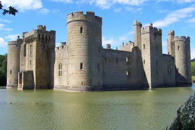
Bodiam Castle · Photo: Pam Goodey

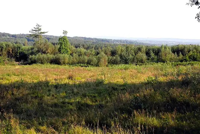
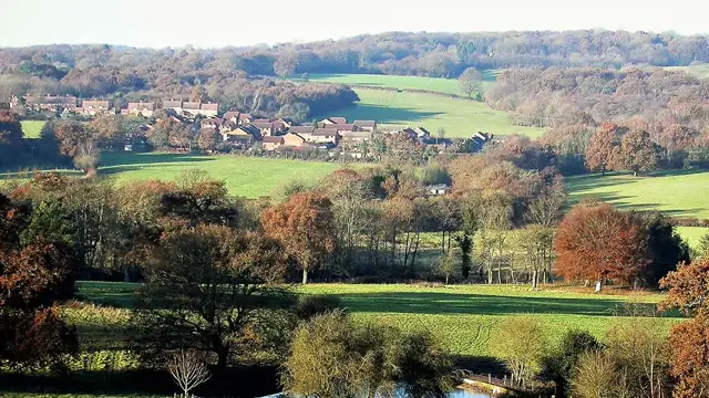
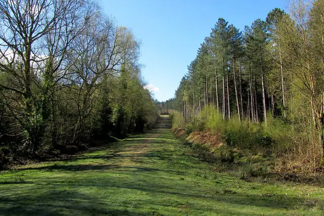
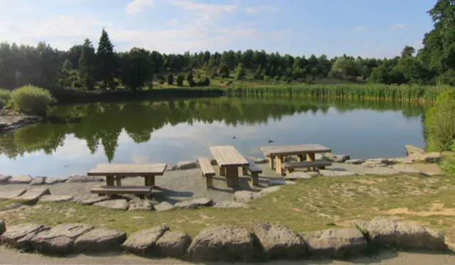
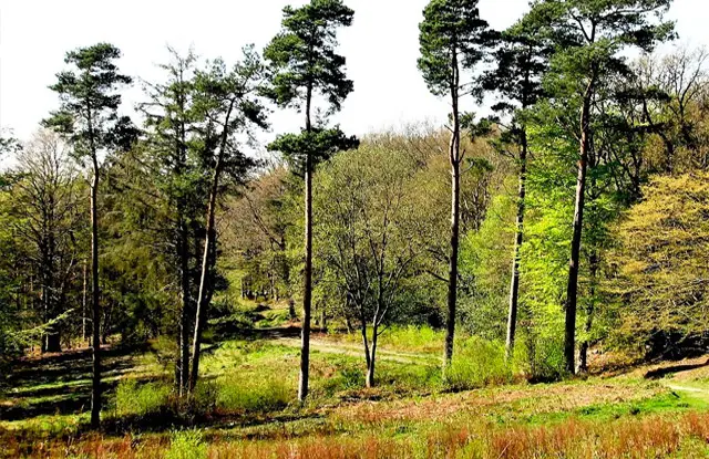
These walks explore the historic landscape around Bodiam Castle in the Rother Valley, combining riverside countryside, woodland paths, and wide open farmland.

The area is rich in heritage, with the castle itself standing as a striking centrepiece above its moat.

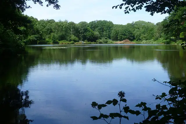
One route offers a relaxed circuit through Holman’s Wood and along the River Rother, while the longer walk expands into surrounding farmland and historic boundary lines, including sections of the Sussex Border Path and views of Kent Ditch Pumping Station.

Download the Sussex Walks App to follow these routes with real-time GPS navigation.

Download on the App Store Get it on Google Play

Walk information

Bodiam Castle Walk 1

Walk distance
4¼ miles
Time
2 hours
Route type
Circular

This first Bodiam walk is a relaxed countryside circuit into the heart of the Rother Valley.

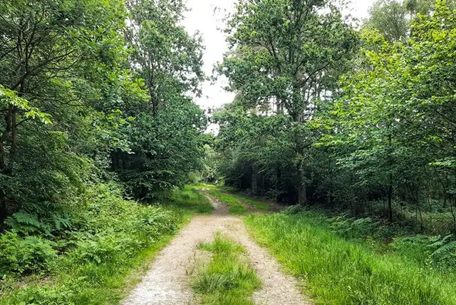
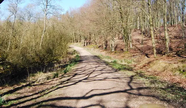
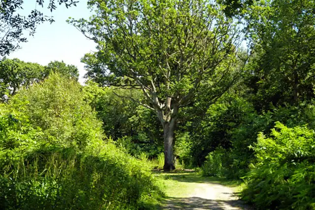
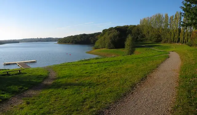
It moves between the quiet cover of Holman’s Wood and the open, low-lying land shaped by the River Rother.

The walk finishes back near the Castle Inn, making this a well-balanced outing that blends river scenery with a touch of village character.

Bodiam Castle Walk 1 No ratings yet Be the first - rate this walk in the Sussex Walks App

Walk information

Bodiam Castle Walk 2

Walk distance
5¾ miles
Time
3 hours
Route type
Circular

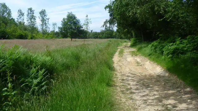
This longer Bodiam walk with open farmland, historic boundaries and medieval architecture, offers a wider exploration of the Bodiam Castle site and surrounding countryside.

Kent Ditch Pumping Station highlights the careful water management while a section of the Sussex Border Path connects the route to a much wider 150-mile circuit around the county.

The centrepiece is Bodiam Castle itself, built in 1385 and rising dramatically from its moat.

Bodiam Castle Walk 2 No ratings yet Be the first - rate this walk in the Sussex Walks App

Navigate the walks

Sussex Walks App

Follow the Bodiam Castle walks with GPS guidance

It's like sat-nav, but for footpaths.

Choose a walk and follow the pointer showing your live position on the route map, so you always know you're on the right path.

The app works without a phone signal, so you can keep following the route wherever the walk takes you.

Download the app

Download on the App Store Get it on Google Play
Sussex Walks app showing the walker's live position on a route map

Designed to be simple

  • Choose a walk and follow the pointer
  • See your live position on the route map
  • Works without a phone signal
  • Includes 400 Sussex walks
  • Free one-month trial
  • Available for iPhone and Android

Explore the area

Nearby walks

Explore the county

Sussex walks map

Map data © OpenStreetMap contributors

Search Sussex walks

See where the walks start, explore the area and tap a pin to find a route for your next adventure.

Search Sussex walks
Expanded route map for Bodiam Castle Walk 1, a 4.25 mile circular walk in Sussex