

Somerset Walks

Bruton Walks & Route Maps

Bruton walk, Somerset
Bruton · Photo: Vieve Forward

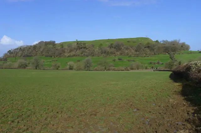
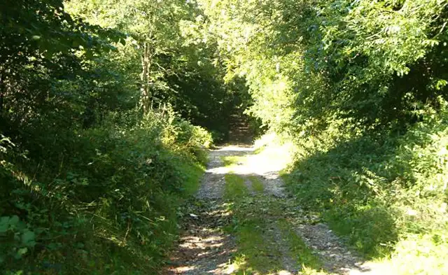
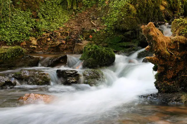
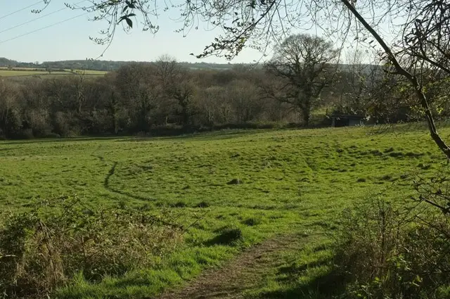
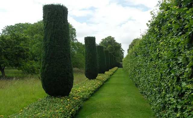
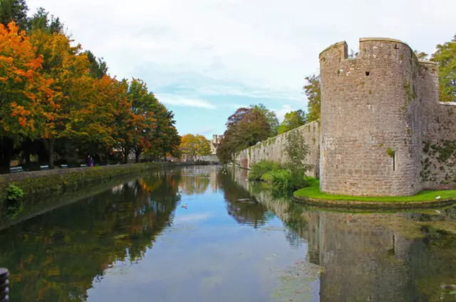
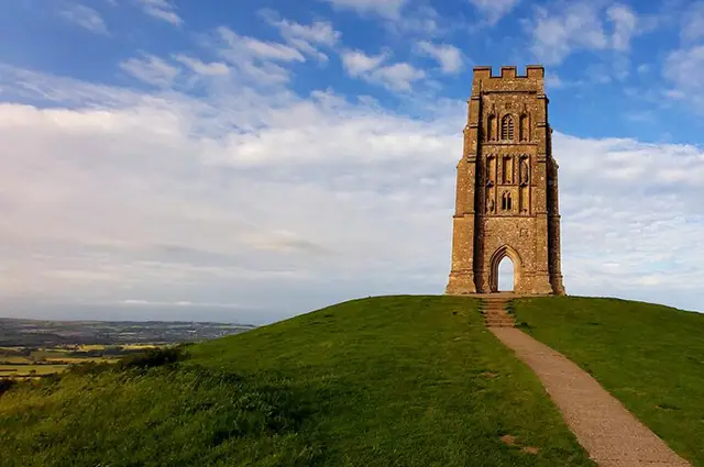
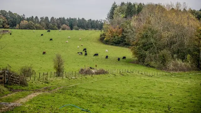
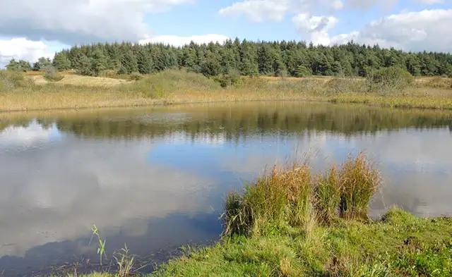
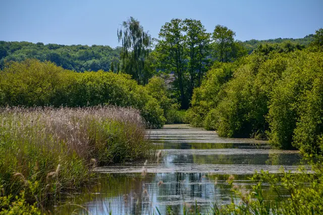
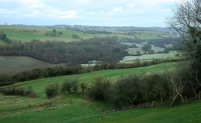
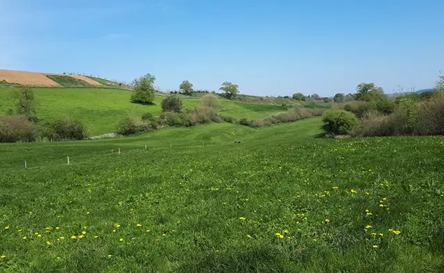
Set in the Somerset countryside, the walks around Bruton explore a mix of riverside paths, open pasture, and gently rising hills.

These walks are easy to follow and offer a varied rural setting, with a good balance of water, farmland, and long views across the surrounding landscape.

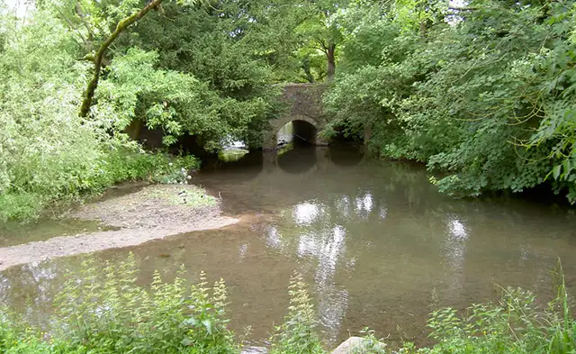
One option follows the River Brue through quiet fields before looping back past a historic dovecote, while the other heads west towards Chorley Hill for broader views over the countryside.

Together, the walks provide a relaxed way to experience this part of Somerset, combining river scenery with higher ground and open countryside.

Download the Somerset Walks App to follow these routes with real-time GPS navigation.

Download on the App Store Get it on Google Play

Walk information

Bruton Walk 1

Walk distance
3¾ miles
Time
2 hours
Route type
Circular

This first walk around Bruton follows a section of the River Brue, where pasture, hedgerows, and open views create a relaxed rural setting.

After a few hills and towards the end, a historic dovecote adds a glimpse into the area’s agricultural past, standing as a reminder of how the land was once used and managed.

It’s a well-balanced route, combining riverside scenery with small touches of local history.

Bruton Walk 1 No ratings yet Be the first - rate this walk in the Somerset Walks App

Walk information

Bruton Walk 2

Walk distance
3¾ miles
Time
2 hours
Route type
Circular

This alternative walk around Bruton goes in the opposite direction and climbs west into the surrounding hills, bringing a wider sense of the landscape.

The route follows the River Brue for a while, where calm water and open pastures create a relaxed rural feel.

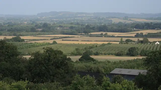
From there, the ground rises towards Chorley Hill, where the setting opens out and views stretch across the patchwork of fields and hedgerows.

Bruton Walk 2 No ratings yet Be the first - rate this walk in the Somerset Walks App

Navigate the walks

Somerset Walks App

Follow the Bruton walks with GPS guidance

It's like sat-nav, but for footpaths.

Choose a walk and follow the pointer showing your live position on the route map, so you always know you're on the right path.

The app works without a phone signal, so you can keep following the route wherever the walk takes you.

Download the app

Download on the App Store Get it on Google Play
Somerset Walks app showing the walker's live position on a route map

Designed to be simple

  • Choose a walk and follow the pointer
  • See your live position on the route map
  • Works without a phone signal
  • Includes 250 Somerset walks
  • Free one-month trial
  • Available for iPhone and Android

Explore the area

Nearby walks

Explore the county

Somerset walks map

Map data © OpenStreetMap contributors

Search Somerset walks

See where the walks start, explore the area and tap a pin to find a route for your next adventure.

Search Somerset walks
Expanded route map for Bruton Walk 1, a 3.75 mile circular walk in Somerset