Uffington White Horse walk and route map


Here is a walk and route map for the Uffington White Horse

The great philosopher and poet Ralph Waldo Emerson once said, “The sky is the ultimate art gallery just above us.” So if you’re looking to visit and admire an ultimate art gallery this weekend then this walk to Oxfordshire’s White Horse Hill near Uffington fits the bill in spades!
To get the app and this walk visit https://www.localwalks.co.uk/oxfordshire-walks or search for 'Oxfordshire Walks' on your app store.
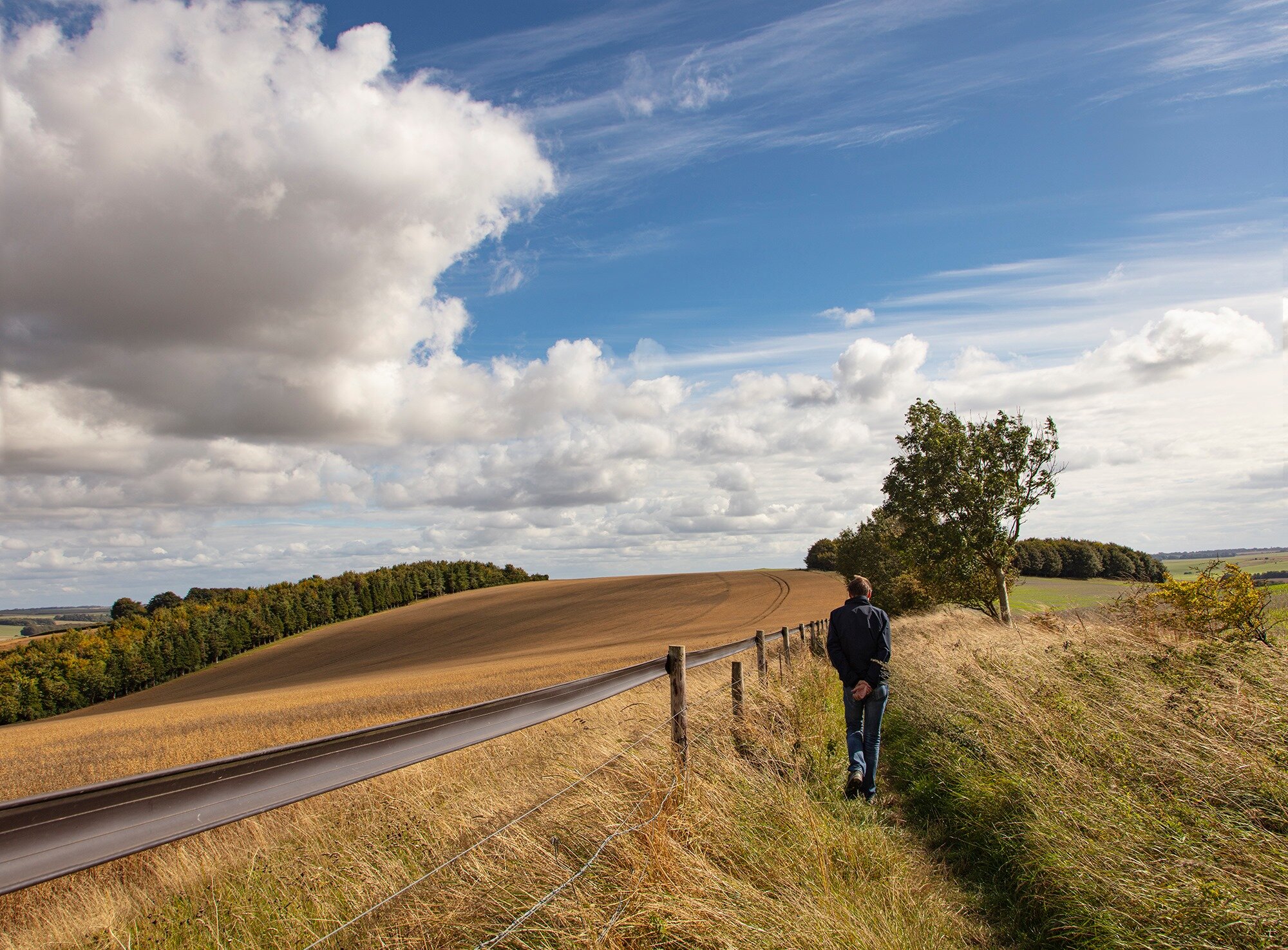
This 5 1/2 mile circular walk which ultimately will take you up to the internationally renowned Bronze-Age Uffington White Horse will give you big skies to take in for the whole walk.
The walk starts at the National Trust Car Park at Uffington White Horse Hill then travels anti-clockwise, southwards along an established track to Knighton Bushes and back to White Horse Hill via the gallops on Woolstone Down. If you follow the path up to the white horse itself (see map in photos), you will see the oldest chalk-cut hill figure in Britain. Despite being very modernist in its design, experts suggest it is over 3,000 years old.
The horse is only part of a unique complex of ancient remains that are found at White Horse Hill and beyond across the high chalk downland. You can also stand and admire The Manger, a dramatic dry valley with steep rippled sides known as the Giant’s Steps.
If you are lucky you may even see a Red Kite soaring above you completing a perfect canvas!
This walk is great for all of the family and your dog(s).
You can see a full list of Oxfordshire walks here.
Taking regular exercise outdoors amongst nature is good for both our mental and physical health at this time, but whilst out walking please remember to keep your distance from other walkers.
STAY ALERT - STAY SAFE
Here is a walk and route map for the Uffington White Horse. Download the Oxfordshire Walks app to see your position on the map as you walk.

© OpenStreetMap contributors
Contains OS data © Crown copyright and database right 2021