
At a glance
Childrey Walk
- Distance
- 9.5 miles
- Estimated time
- 5 hours
- Route type
- Circular
- GPS app guided
- Yes
- Parking
- Roadside parking in the village 51.58564, -1.47969
- Characteristics
- Hills, Countryside, Pub
Oxfordshire Walks
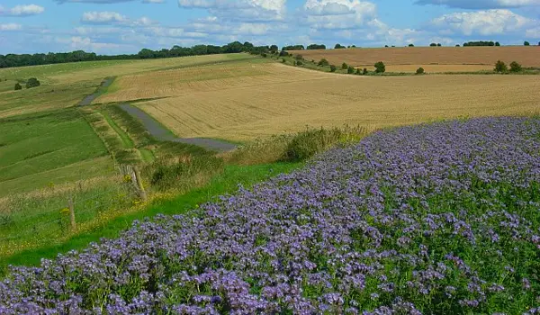
Set off from the lovely village of Childrey in Oxfordshire on this walk, a rewarding route through the downs with plenty of climbs and far-reaching views.
Download the Oxfordshire Walks App to follow this route with real-time GPS navigation.


At a glance
The walk
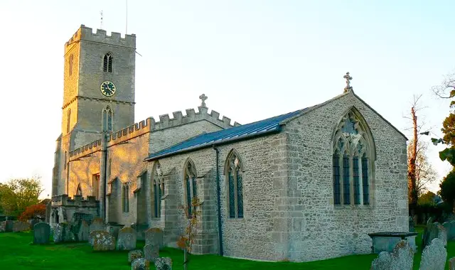
This is a really wonderful walk but it is quite long and includes a lot of uphill. Your adventure will begin in the stunning village of Childrey, nestled in the picturesque downs.
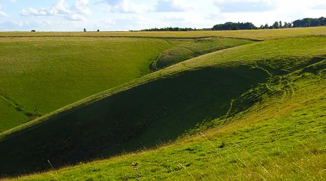
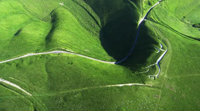
The route leads you through Letcombe Basset and up to the stunning Devils Punchbowl, where you'll walk along the Ridgeway before descending Blowingstone Hill (a small amount of country road walking).
You can stop for a welcome break at the cozy Blowingstone Inn in Kingstone Lisle before returning to Childrey where you can finish your walk with a lazy stroll around the village and admire the ducks and geese in the village pond. Wonderful!
Based on 1 user rating
An outstanding walk
Very dog friendly
Generally well maintained
Not suitable for pushchairs
Not wheelchair accessible
Some facilities
Quite good
Accurate
Real feedback from people who have completed this walk using the Oxfordshire Walks app.
First-hand experiences
Stunning. Great views, plenty of wildlife, a Ridgeway stretch. A fair bit of climbing. One of the best
Comments from walkers who have completed the Childrey walk.
Navigate the walks
The easiest way to follow this route is with the Oxfordshire Walks app. Choose the walk and follow the pointer showing your live position on the route map, so you can see you're on the right path.
The app works without a phone signal, so you can keep following the route wherever the walk takes you.

Explore the area
 2.5-8.75 miles
 1.5 miles
 5.5 miles
 2.75 miles
 2.75-7.5 miles
 2.25-8.75 miles
 3.5-5.75 miles
 1.75-10.5 miles
 3.75 miles
 3-4.5 miles
 4.75 miles
 2.5-7 miles
 6 miles
 3.25-4.25 miles
 2.25 miles
Explore the county
See where the walks start, explore the area and tap a pin to find a route for your next adventure.
Search Oxfordshire walks