
Walk information
Ewelme Walk 1
- Walk distance
- 3¾ miles
- Time
- 2 hours
- Route type
- Circular
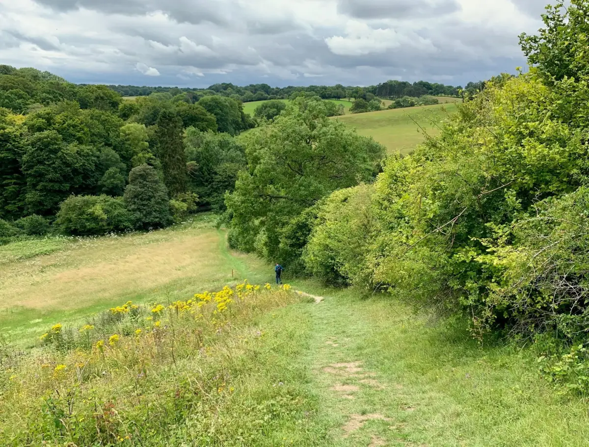
This is a nice pleasant countryside stroll in the gentle downs surrounding the village of Ewelme.
Expect lots of fresh air and some nice views on this walk.
Oxfordshire Walks
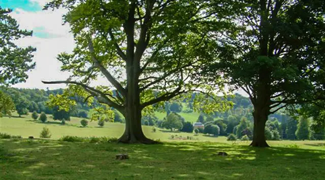
Set in the beautiful Chiltern Hills, these walks from Ewelme offer a wonderful mix of gentle countryside strolling and more demanding hill routes.
From an easy wander through the surrounding downs to a challenging full-day adventure, the walks provide plenty of variety, all surrounded by fresh air and wide open views.
The routes take in peaceful farmland, woodland paths, and sections of the Chiltern Way, with the option to climb onto Swyncombe and Ewelme Downs for far-reaching panoramas.
On the longer route, there’s even a descent to Russell Water Common and a welcoming pub stop before the climb back up, making these walks both rewarding and full of character.
Download the Oxfordshire Walks App to follow these routes with real-time GPS navigation.


Walk information
This is a nice pleasant countryside stroll in the gentle downs surrounding the village of Ewelme.
Expect lots of fresh air and some nice views on this walk.
Based on 8 user ratings
An outstanding walk
Real feedback from people who have completed this walk using the Oxfordshire Walks app.
First-hand experiences
A very enjoyable and oeacefil walk. Our dogs enjoyed it and it was very quiet. Harldy saw anyone
Beautiful walk, lovely countryside.
Great walk beautiful countryside. Fairly dry underfoot when most places are a bog. Lovely wide tracks.
Generally dry when a lot of other walks are very muddy
Walk information
This longer route extends the first route by taking you up onto the Swyncombe and Ewelme Downs.
There is a lot more hill climbing on this longer route, so go prepared with lots of energy, but you will be rewarded with some wonderful views as you go.
Based on 5 user ratings
An outstanding walk
Real feedback from people who have completed this walk using the Oxfordshire Walks app.
First-hand experiences
Stunning walk with some good hill parts. Great views...
Great fun.
This is a lovely route - some of the hills in the woods were tiring but worth it , tired dogs and owner !
Walk information
The final route is an epic and strenuous adventure from Ewelme that provides a variety of scenery to enjoy, ranging from woodland walks, country lanes, villages, lovely views, hill climbing and a stretch of the Chiltern way.
About half way around, there is a steep descent to visit Russell Water Common and a nice pub for some refreshments before climbing back up to rejoin the route.
Based on 2 user ratings
An outstanding walk
Real feedback from people who have completed this walk using the Oxfordshire Walks app.
First-hand experiences
Really nice long walk. Slightly overgrown in places with nettles. 5/5
We did the 12 mile epic walk on 1st May and the bluebells were in bloom everywhere. Stunning. A lovely walk, but some steep inclines which would challenge some walkers.
Navigate the walks
It's like sat-nav, but for footpaths.
Choose a walk and follow the pointer showing your live position on the route map, so you always know you're on the right path.
The app works without a phone signal, so you can keep following the route wherever the walk takes you.

Explore the area
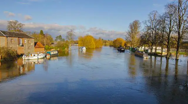 5 miles
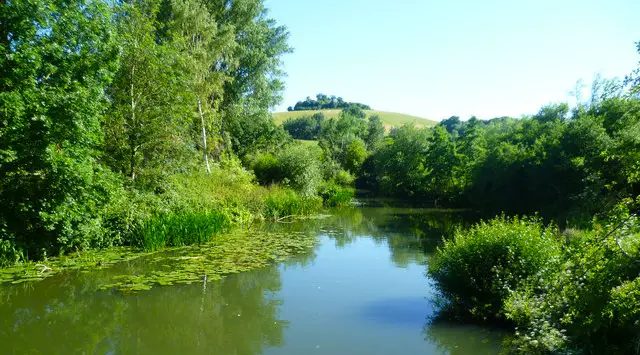 1-6.25 miles
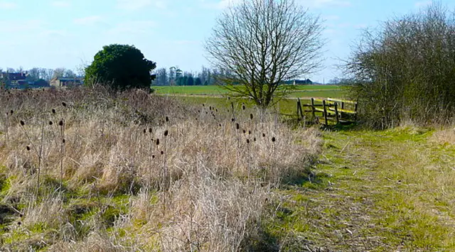 1.75-4.75 miles
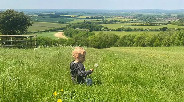 2.75 miles
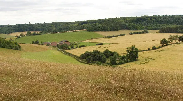 4.5-6.5 miles
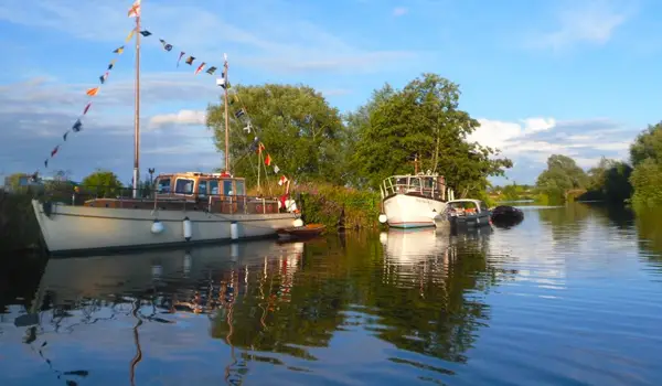 5.75-6.75 miles
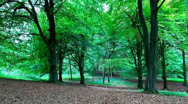 2.75-4.5 miles
 4.5 miles
 0.75-2 miles
 5 miles
 0.75-4.25 miles
 10 miles
 3.5-5.5 miles
 2.25-5 miles
 2.75-8 miles
Explore the county
See where the walks start, explore the area and tap a pin to find a route for your next adventure.
Search Oxfordshire walks