

Oxfordshire Walks

Eastleach Walks & Route Maps

Eastleach walk, Oxfordshire
Eastleach · Photo: Local Walks team

Set on the edge of the Cotswolds near the Gloucestershire border, these walks explore the beautifully unspoilt twin villages of Eastleach Turville and Eastleach Martin.

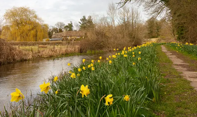
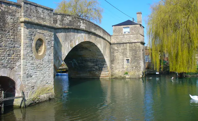
Linked by a charming old stone clapper bridge, the villages provide a wonderfully peaceful starting point for discovering the surrounding River Leach valley and rolling countryside.

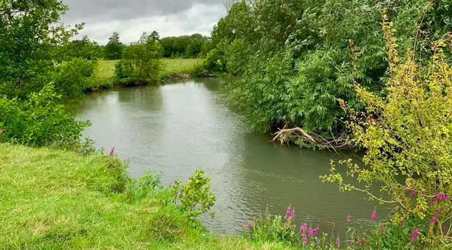
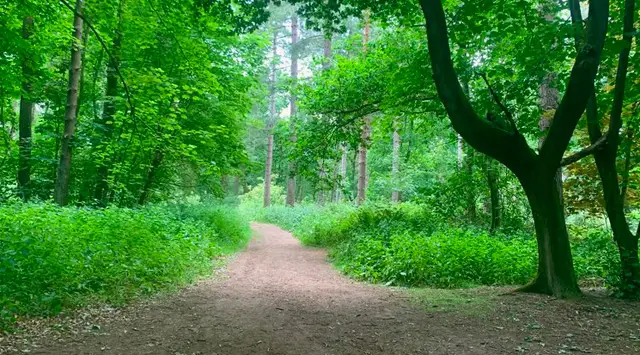
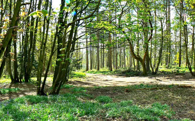
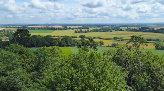
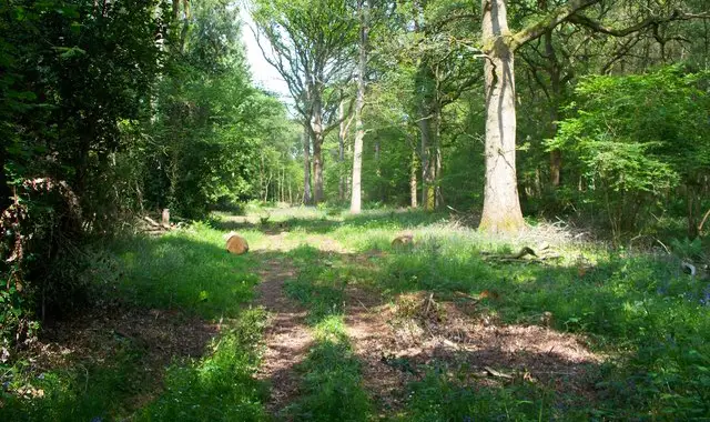
Across the different routes, the walks follow riverside paths, cross the Hatherop Estate, and pass through quiet woodland and open farmland with far-reaching views.

With options ranging from gentler village and valley circuits to longer, more challenging routes towards Southrop and Macaroni Downs, these walks offer plenty of variety while always returning to the timeless charm of the Eastleaches.

Download the Oxfordshire Walks App to follow these routes with real-time GPS navigation.

Download on the App Store Get it on Google Play

Walk information

Eastleach Walk 1

Walk distance
2¾ miles
Time
1.5 hours
Route type
Circular

This selection of peaceful walks all begin in the twin villages of Eastleach Turville and Eastleach Martin, close to the Gloucestershire/Oxfordshire border.

The Eastleaches are traditional Cotswold villages which remain completely unspoilt. The two villages are connected by a traditional old stone clapper bridge.

The route heads north from Eastleach Martin through the Hatherop Estate following the River Leach before crossing over the river and returning through lovely open countryside overlooking the valley.

There is some quiet country road walking along with some stiles, steps and gates. Walking besides the river can be very muddy and may flood after heavy rain.

Eastleach Walk 1 4.3 Ratings and reviews 3 ratings

Based on 3 user ratings

Community feedback

Overall rating4.3

A very popular walk

Dog friendly4.3 / 5
Path condition4.7 / 5
Buggy friendly2.3 / 5
Wheelchair friendly1.0 / 5
Toilet facilities1.0 / 5
Pub or café2.0 / 5
Route accuracy5.0 / 5
ClimbingSome climbing
LivestockLivestock likely
StilesA stile or two
Mud levelBoots recommended

Real feedback from people who have completed this walk using the Oxfordshire Walks app.

Walk information

Eastleach Walk 2

Walk distance
2½ miles
Time
1.5 hours
Route type
Circular

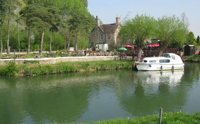
The second splendid walk starting from The Eastleaches travels South to the pretty village of Southrop with its lovely old church and renowned 17th century pub The Swan.

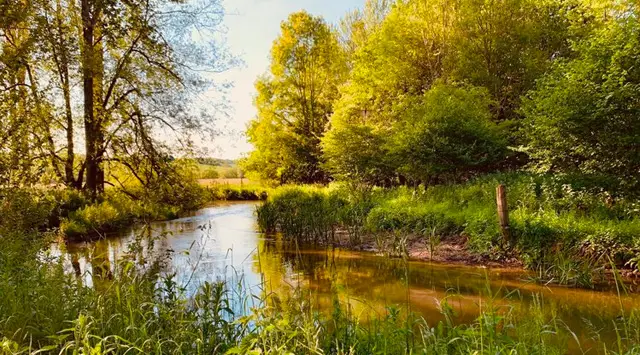
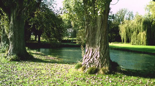
The walk includes travelling over the top of the valley with beautiful views to enjoy and along the very peaceful River Leach where you may spot swans and herons.

There is a some quiet country road walking along with some stiles, steps and gates on this walk. Walking besides the river can be very muddy and may flood after heavy rain. There is very likely to be a number of horses in the fields.
Eastleach Walk 2 5.0 Ratings and reviews 2 ratings · 1 review

Based on 2 user ratings

Community feedback

Overall rating5.0

An outstanding walk

Dog friendly4.5 / 5
Path condition4.0 / 5
Buggy friendly1.5 / 5
Wheelchair friendly1.5 / 5
Toilet facilities2.0 / 5
Pub or café5.0 / 5
Route accuracy4.5 / 5
ClimbingGentle slopes
LivestockSome livestock
StilesA few stiles on route
Mud levelWellies when wet

Real feedback from people who have completed this walk using the Oxfordshire Walks app.

First-hand experiences

User reviews

Walker review

A very pleasant walk from Eastleach to Southrop. Not at all muddy in dry weather but likely very muddy after periods of rain. Straightforward paths to follow, very picturesque walking alongside the river and generally level. Some friendly horses in the field at the start. A nice pint at either end in the beer gardens.

Walk information

Eastleach Walk 3

Walk distance
4¼ miles
Time
2 hours
Route type
Circular

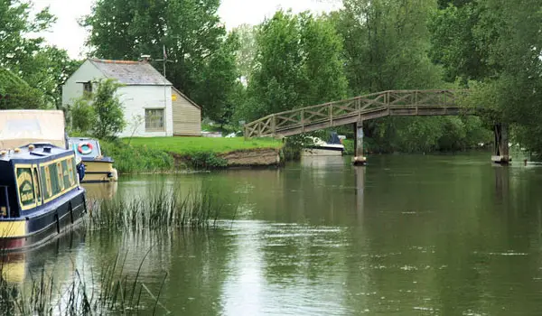
This walk is a continuation of Walk 1. The walk stays on the Eastern side of the River Leach through some woodlands and heads back to the village on the opposite side of the river after crossing Sheep Bridge.

There are gorgeous views across the valley and surrounding farmland throughout this walk. The land is part of the beautiful Hatherop Estate. Look out for Red Kites soaring in the skies above you.

There is a some quiet country road walking along with some stiles, steps and gates on this walk. Walking besides the river can be very muddy and may flood after heavy rain.
Eastleach Walk 3 4.7 Ratings and reviews 7 ratings · 4 reviews

Based on 7 user ratings

Community feedback

Overall rating4.7

An outstanding walk

Dog friendly3.0 / 5
Path condition4.0 / 5
Buggy friendly1.4 / 5
Wheelchair friendly1.1 / 5
Toilet facilities1.1 / 5
Pub or café2.6 / 5
Route accuracy3.9 / 5
ClimbingSome climbing
LivestockRarely any livestock
StilesA few stiles on route
Mud levelMay be muddy after wet weather

Real feedback from people who have completed this walk using the Oxfordshire Walks app.

First-hand experiences

User reviews

Walker review

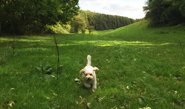
Great walk today! A few paddling spots for the pup on a warm day, a few stiles but our pup is small so we can lift her over! We did go a little off piste from the route (still on PROW). Loads of fun little finds like a couple of little stone footbridges here and there. The Vic is a lovely pub but quite expensive if you wanted to stop for a drink and snack. Village of Eastleach is absolutely beautiful, so glad we visited!

Walker review

One of the gates was locked had to walk up the road. Not great aha

Walker review

Lovely walk, stunning scenery. Watch out for the red kites! Incredible to watch.

Walker review

I did this walk back in the Spring and its even more beautiful in the Autumn. The river was dry back in May, but now flowing and makes the landscape. Red kites soaring and gorgeous autumnal colour. Thank you.

Walk information

Eastleach Walk 4

Walk distance
7¼ miles
Time
3.5 hours
Route type
Circular

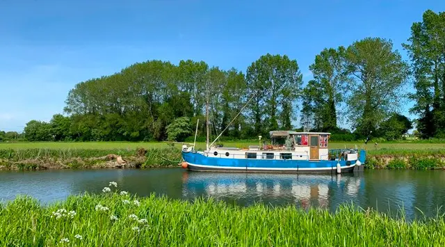
This lovely walk is our longest and most challenging from The Eastleaches and is an extended version of Walk 2 with all of the same wonderful elements.

There is plenty of variety and much to admire: beautiful traditional Cotswold villages, wonderful churches, a delightful river and glorious countryside. This walk goes further north than Walk 2 taking you through woodland and on to paths around the Macaroni Downs.

There is a some quiet country road walking along with some stiles, steps and gates on this walk. Walking besides the river can be very muddy and may flood after heavy rain.
Refreshments:

The Victoria Inn, Eastleach

Eastleach Walk 4 4.6 Ratings and reviews 5 ratings · 3 reviews

Based on 5 user ratings

Community feedback

Overall rating4.6

An outstanding walk

Dog friendly3.8 / 5
Path condition4.0 / 5
Buggy friendly1.0 / 5
Wheelchair friendly1.2 / 5
Toilet facilities2.2 / 5
Pub or café1.2 / 5
Route accuracy4.8 / 5
ClimbingGentle slopes
LivestockSome livestock
StilesA few stiles on route
Mud levelBoots recommended

Real feedback from people who have completed this walk using the Oxfordshire Walks app.

First-hand experiences

User reviews

Walker review

Enjoyable long walk with lots splendid views and a nice pub to finish at.

Walker review

This walk was a very enjoyable walk seen lots of wildlife red kites pheasants lots of different deer and also a barn owl in flight

Walker review

I used it as a recce today, will be leading a group on same walk Sunday.

Navigate the walks

Oxfordshire Walks App

Follow the Eastleach walks with GPS guidance

It's like sat-nav, but for footpaths.

Choose a walk and follow the pointer showing your live position on the route map, so you always know you're on the right path.

The app works without a phone signal, so you can keep following the route wherever the walk takes you.

Download the app

Download on the App Store Get it on Google Play
Oxfordshire Walks app showing the walker's live position on a route map

Designed to be simple

  • Choose a walk and follow the pointer
  • See your live position on the route map
  • Works without a phone signal
  • Includes 250+ Oxfordshire walks
  • Free one-month trial
  • Available for iPhone and Android

Explore the area

Nearby walks

Explore the county

Oxfordshire walks map

Map data © OpenStreetMap contributors

Search Oxfordshire walks

See where the walks start, explore the area and tap a pin to find a route for your next adventure.

Search Oxfordshire walks
Expanded route map for Eastleach Walk 2, a 2.5 mile circular walk in Oxfordshire