

Oxfordshire Walks

Bledlow Ridge Walks & Route Maps

Bledlow Ridge walk, Oxfordshire
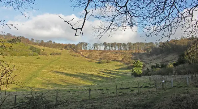
Bledlow Ridge · Photo: David Hillas

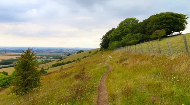
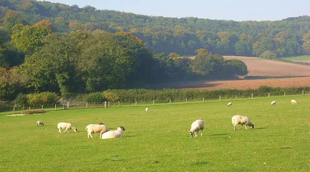
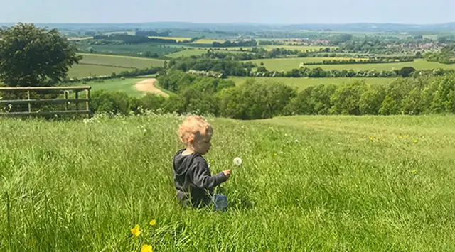
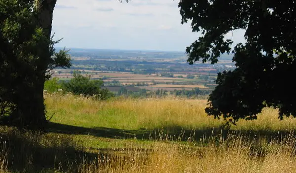
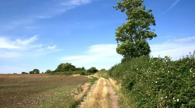
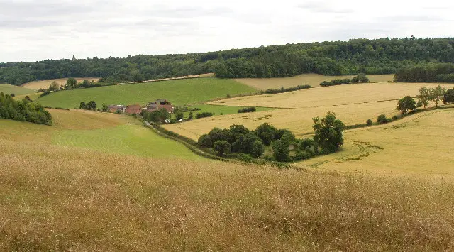
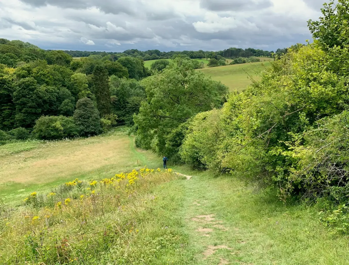
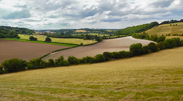
Explore these walks around Bledlow Ridge in Oxfordshire, where rolling Chiltern hills, peaceful woodland, and sweeping countryside views come together to create a truly scenic day out.

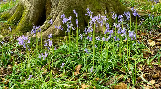
With routes ranging from shorter strolls to longer, more challenging walks, these walks take in highlights such as Yoesden Nature Reserve, Lodge Hill, and the surrounding woods, with chances to spot wildlife and enjoy seasonal wildflowers.

Download the Oxfordshire Walks App to follow these routes with real-time GPS navigation.

Download on the App Store Get it on Google Play

Walk information

Bledlow Ridge Walk 1

Walk distance
2½ miles
Time
1.5 hours
Route type
Circular

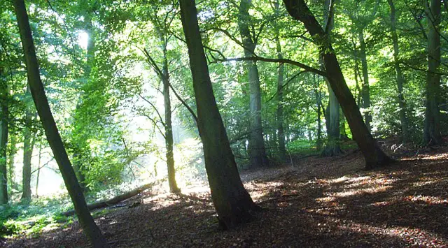
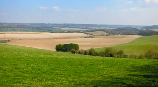
This short walk takes you past St Mary's Church in Radnage and then on to the Yoesden Nature Reserve in the Radnage valley, a picturesque example of the Chiltern landscape. It is abundant with rare butterflies and wildflowers, and is crowned by a wonderful woodland.

Great spotted woodpeckers, buzzards, red kites, and unique woodland plants call this woodland home. In the spring and summer there is a stunning array of colors from orchids and wildflowers.

There is a small amount of road walking. Before heading back to the start you could visit The Boot Pub for refreshments.

Bledlow Ridge Walk 1 No ratings yet Be the first - rate this walk in the Oxfordshire Walks App

Walk information

Bledlow Ridge Walk 2

Walk distance
3¾ miles
Time
2 hours
Route type
Circular

This lovely walk will offer you a variety of glorious Oxfordshire scenery including the Yoesden Nature Reserve (often known as Yoesden Bank), with it's beautiful woodland and grassland and a visit to the church in the village of Radnage.

Bledlow Ridge Walk 2 5.0 Ratings and reviews 3 ratings

Based on 3 user ratings

Community feedback

Overall rating5.0

An outstanding walk

Dog friendly2.7 / 5
Path condition3.0 / 5
Buggy friendly2.0 / 5
Wheelchair friendly3.0 / 5
Toilet facilities2.0 / 5
Pub or café2.7 / 5
Route accuracy5.0 / 5
ClimbingGentle slopes
LivestockNo livestock
StilesNo stiles
Mud levelMay be muddy after wet weather

Real feedback from people who have completed this walk using the Oxfordshire Walks app.

Walk information

Bledlow Ridge Walk 3

Walk distance
6¼ miles
Time
3 hours
Route type
Circular

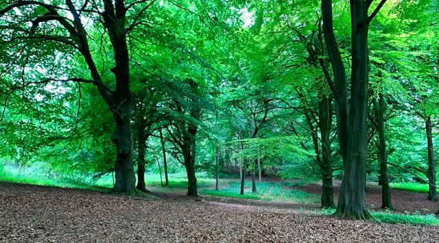
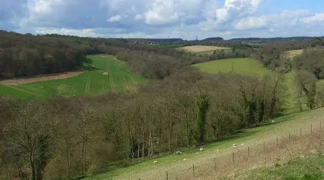
This walk is a big extension to Walk 1 to stretch your legs and takes you along the Bledlow Circular Ride. You will enjoy some wonderful scenery and pass along the edges of Sunley, Venus and Cromwell woods. At the end of the walk enjoy the wonderful Yoesden Nature Reserve (see Walk 1).

Before heading back to the start you could visit The Boot Pub for refreshments. (Marked on Walk 1). This walk has a couple of hills to climb and may be muddy at times.
Bledlow Ridge Walk 3 4.0 Ratings and reviews 1 rating · 1 review

Based on 1 user rating

Community feedback

Overall rating4.0

A very popular walk

Dog friendly4.0 / 5
Path condition4.0 / 5
Buggy friendly2.0 / 5
Wheelchair friendly1.0 / 5
Toilet facilities1.0 / 5
Pub or café1.0 / 5
Route accuracy5.0 / 5
ClimbingGentle slopes
LivestockSome livestock
StilesA few stiles on route
Mud levelBoots recommended

Real feedback from people who have completed this walk using the Oxfordshire Walks app.

First-hand experiences

User reviews

Walker review

Pleasant walk. Muddy in places after loys of rainfall

Walk information

Bledlow Ridge Walk 4

Walk distance
6½ miles
Time
3.5 hours
Route type
Circular

This extended walk will offer you a variety of glorious Oxfordshire scenery including Lodge Hill for some great views and the Yoesden Nature Reserve. There is some road walking on this route.

Bledlow Ridge Walk 4 No ratings yet Be the first - rate this walk in the Oxfordshire Walks App

Navigate the walks

Oxfordshire Walks App

Follow the Bledlow Ridge walks with GPS guidance

It's like sat-nav, but for footpaths.

Choose a walk and follow the pointer showing your live position on the route map, so you always know you're on the right path.

The app works without a phone signal, so you can keep following the route wherever the walk takes you.

Download the app

Download on the App Store Get it on Google Play
Oxfordshire Walks app showing the walker's live position on a route map

Designed to be simple

  • Choose a walk and follow the pointer
  • See your live position on the route map
  • Works without a phone signal
  • Includes 250+ Oxfordshire walks
  • Free one-month trial
  • Available for iPhone and Android

Explore the area

Nearby walks

Explore the county

Oxfordshire walks map

Map data © OpenStreetMap contributors

Search Oxfordshire walks

See where the walks start, explore the area and tap a pin to find a route for your next adventure.

Search Oxfordshire walks
Expanded route map for Bledlow Ridge Walk 1, a 2.5 mile circular walk in Oxfordshire