

Derbyshire Walks

Rosliston Forest Walks & Route Maps

Rosliston Forest walk, Derbyshire
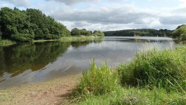
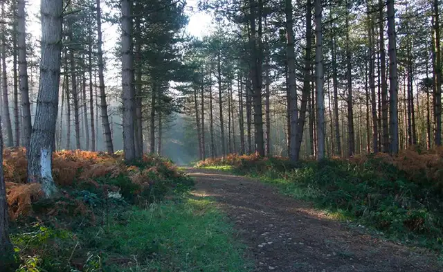
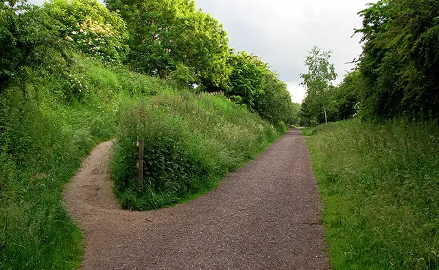
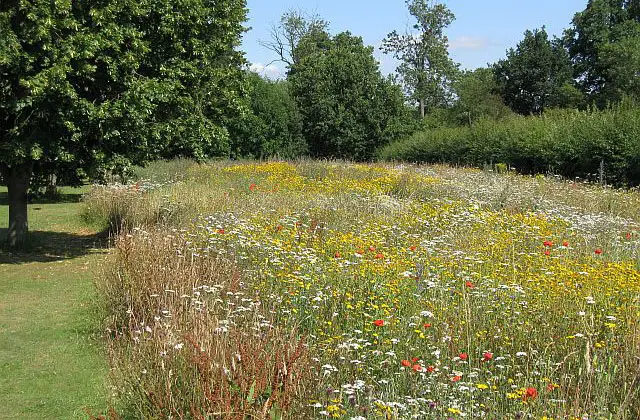
Rosliston Forest · Photo: Brian Webster

Set within the heart of the National Forest, these walks begin at Rosliston Forestry Centre and explore a landscape transformed by one of Britain’s most ambitious environmental projects.

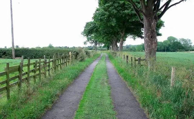
The shorter option is an easy forest circuit with a visit to the village of Rosliston, while the longer of the walks venture further through woodland, open countryside and along sections of the National Forest Way.

Two of the routes also take in the charming village of Coton in the Elms, with its picturesque brook and rural setting.

With mainly gentle terrain, a few gates and the possibility of mud after rain, these walks offer relaxed woodland wandering with plenty of variety and village charm along the way.

Download the Derbyshire Walks App to follow these routes with real-time GPS navigation.

Download on the App Store Get it on Google Play

Walk information

Rosliston Forest Walk 1

Walk distance
2½ miles
Time
1.5 hours
Route type
Circular

This first option is a short, easy walk starts from Rosliston Forest Visitor Centre.

Here you can get information about Britain's boldest environmental project to create a new National Forest.

So far millions of trees have been planted, new bluebell sites established and wildlife habitats built - impressive stuff!

The walk travels through the forest and on to the village of Rosliston where you can visit The Church of St Mary the Virgin and take a detour into the colourful village if you wish. The rest of the walk explores the forest further on forest paths.

For refreshments there is the Hub Cafe at the Visitor Centre or you could visit The Bullls Head in Rosliston.

Rosliston Forest Walk 1 4.0 Ratings and reviews 3 ratings · 3 reviews

Based on 3 user ratings

Community feedback

Overall rating4.0

A very popular walk

Dog friendly4.7 / 5
Path condition3.0 / 5
Buggy friendly1.7 / 5
Wheelchair friendly1.0 / 5
Toilet facilities2.7 / 5
Pub or café2.7 / 5
Route accuracy4.7 / 5
ClimbingGentle slopes
LivestockNo livestock
StilesNo stiles
Mud levelBoots recommended

Real feedback from people who have completed this walk using the Derbyshire Walks app.

First-hand experiences

User reviews

Walker review

A pleasant walk

Walker review

Nice steady walk. When wet the paths around the edge of the forest are very muddy. Plenty of alternative routes to take through the woods.

Walker review

Easy walk, with a cafe and pub on route.

Walk information

Rosliston Forest Walk 2

Walk distance
4¾ miles
Time
2.5 hours
Route type
Circular

This second route is a very enjoyable and easy going walk starts at the Rosliston Forest Visitor Centre. Here you can get information about Britain's boldest environmental project to create a new National Forest.

After spending time at the Centre, the walk travels through forests, over lovely countryside and visits two pretty villages.

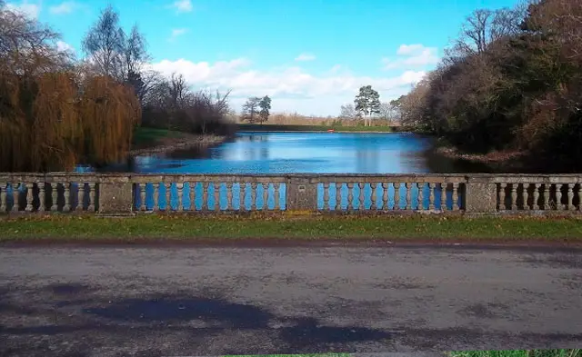
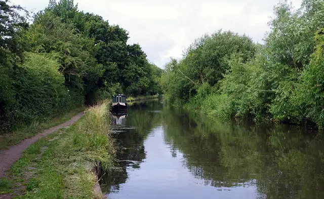
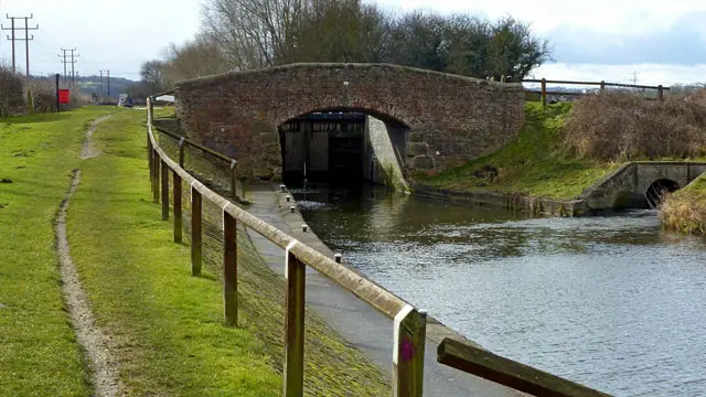
Firstly the charmingly named 'Coton in the Elms' which sits in a pastoral landscape and has the delightful Pessal Brook and bridge setting the picturesque scene. Secondly Rosliston where you can see The Church of St Mary the Virgin.

For refreshments there is the Hub Cafe at the Visitor Centre or you could visit The Bullls Head in Rosliston or the Shoulder of mutton in Coton in the Elms.

Rosliston Forest Walk 2 3.7 Ratings and reviews 3 ratings · 3 reviews

Based on 3 user ratings

Community feedback

Overall rating3.7

A well-liked walk

Dog friendly3.0 / 5
Path condition3.3 / 5
Buggy friendly2.3 / 5
Wheelchair friendly1.0 / 5
Toilet facilities3.7 / 5
Pub or café4.3 / 5
Route accuracy4.3 / 5
ClimbingPlenty of climbing
LivestockLivestock likely
StilesA stile or two
Mud levelWellies when wet

Real feedback from people who have completed this walk using the Derbyshire Walks app.

First-hand experiences

User reviews

Walker review

We went a bit off route on the way back because the carpark ticket was running out. Few places it was overgrown, so few stinging nettles and mud up my leg. Lovely village, Coton on the Elms and recommend The bubble Inn for a halfway drink.

Walker review

Lovely easy going walk, much of which was wheelchair/ buggy friendly, but not all.

Walker review

Recommend for dry summer only as very muddy, a lovely location and visitor centre, lots for young families to do on the shorter walks available.

Walk information

Rosliston Forest Walk 3

Walk distance
6½ miles
Time
3 hours
Route type
Circular

This final longer walk is a pleasurable adventure that will give you a bit more of a leg stretch than the other options.

Leaving the Rosliston Forest Visitor Centre behind you the walk travels through forests, over lovely countryside and along quiet country lanes.

On this walk you will also visit the pretty villages of Coton in the Elms, with its picturesque Pessal Brook and bridge and Rosliston where you can see The Church of St Mary the Virgin.

This walk travels further south over lovely countryside along the National Forest Way and onto four other National Forest sites Penquin Wood (no penguins though), Top Wood, Grange Wood and Coton Wood.

For refreshments there is the Hub Cafe at the Visitor Centre or you could visit The Bullls Head in Rosliston or the Shoulder of mutton in Coton in the Elms.

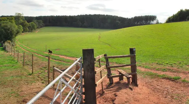
There is a small hill to climb and gates and stiles on this walk. It may be muddy in wet weather.

Rosliston Forest Walk 3 4.0 Ratings and reviews 1 rating

Based on 1 user rating

Community feedback

Overall rating4.0

A very popular walk

Dog friendly3.0 / 5
Path condition3.0 / 5
Buggy friendly2.0 / 5
Wheelchair friendly2.0 / 5
Toilet facilities3.0 / 5
Pub or café4.0 / 5
Route accuracy5.0 / 5
ClimbingTotally level
LivestockSome livestock
StilesSeveral stiles
Mud levelMay be muddy after wet weather

Real feedback from people who have completed this walk using the Derbyshire Walks app.

Navigate the walks

Derbyshire Walks App

Follow the Rosliston Forest walks with GPS guidance

It's like sat-nav, but for footpaths.

Choose a walk and follow the pointer showing your live position on the route map, so you always know you're on the right path.

The app works without a phone signal, so you can keep following the route wherever the walk takes you.

Download the app

Download on the App Store Get it on Google Play
Derbyshire Walks app showing the walker's live position on a route map

Designed to be simple

  • Choose a walk and follow the pointer
  • See your live position on the route map
  • Works without a phone signal
  • Includes 250 Derbyshire walks
  • Free one-month trial
  • Available for iPhone and Android

Explore the area

Nearby walks

Explore the county

Derbyshire walks map

Map data © OpenStreetMap contributors

Search Derbyshire walks

See where the walks start, explore the area and tap a pin to find a route for your next adventure.

Search Derbyshire walks
Expanded route map for Rosliston Forest Walk 1, a 2.5 mile circular walk in Derbyshire