
At a glance
Sutton Benger Walk
- Distance
- 4 miles
- Estimated time
- 2 hours
- Route type
- Circular
- GPS app guided
- Yes
- Parking
- Layby parking at start 51.49720, -2.07382
- Characteristics
- Water
Wiltshire Walks
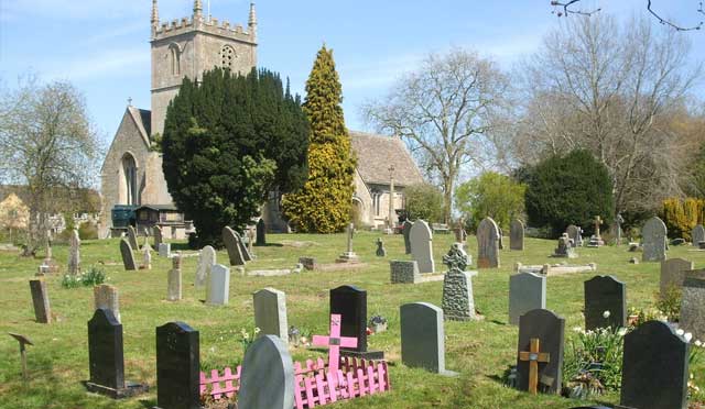
This walk offers a relaxed and varied countryside outing, combining riverside paths along the River Avon with open meadows and quiet stretches of farmland.
With peaceful waterside scenery, wide grassland views and a gentle finish through Sutton Lane Meadows, this walk provides an easy-going way to enjoy the rural charm of this part of Wiltshire.
Download the Wiltshire Walks App to follow this route with real-time GPS navigation.


At a glance
The walk
This countryside route offers a relaxed mix of pretty villages, riverside paths and open meadows.
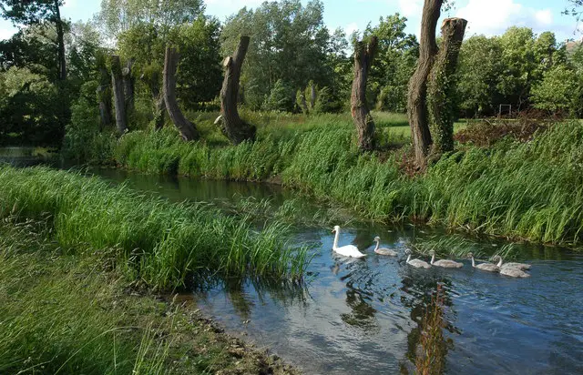
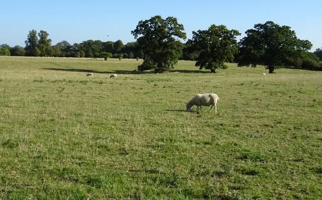
It begins with a gentle stretch alongside the River Avon, where flat paths and waterside views set an easy pace, before drifting into the open grassland of Malford Meadows near Christian Malford.
Later, the walk turns west across quiet farmland towards Sutton Benger itself. A short detour leads to a welcoming village pub, before the route loops back through Sutton Lane Meadows, rounding off a calm, varied walk with a strong sense of space and rural Wiltshire charm.
Refreshments:
Wellesley Arms, Sutton Benger
Navigate the walks
The easiest way to follow this route is with the Wiltshire Walks app. Choose the walk and follow the pointer showing your live position on the route map, so you can see you're on the right path.
The app works without a phone signal, so you can keep following the route wherever the walk takes you.

Explore the area
 1.5 miles
 0.75-2.5 miles
 4.25 miles
 0.75-2 miles
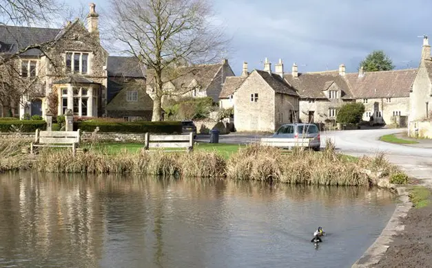 5.75 miles
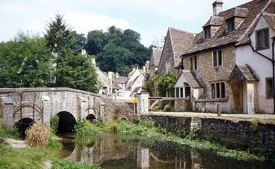
 2.5 miles
 2 miles
 1-6 miles
 1.5-10.25 miles
 2.25-7.5 miles
 1.25 miles
 1.25 miles
 1-6 miles
 2-7.25 miles
 6.25 miles
Explore the county
See where the walks start, explore the area and tap a pin to find a route for your next adventure.
Search Wiltshire walks