
At a glance
Ardingly Reservoir Walk
- Distance
- 1.5 miles
- Estimated time
- 30 mins
- Route type
- Circular
- GPS app guided
- Yes
- Parking
- Free parking at start 51.04211, -0.09755
- Characteristics
- Woodland, Water, Countryside, Pub
Sussex Walks

This walk at Ardingly Reservoir offers a peaceful mix of open countryside and waterside strolling.
It’s a simple, relaxing route that’s perfect for stretching your legs and enjoying the scenery.
Download the Sussex Walks App to follow this route with real-time GPS navigation.


At a glance
The walk
This is a lovely short and simple walk from the car park at Ardingly Reservoir.
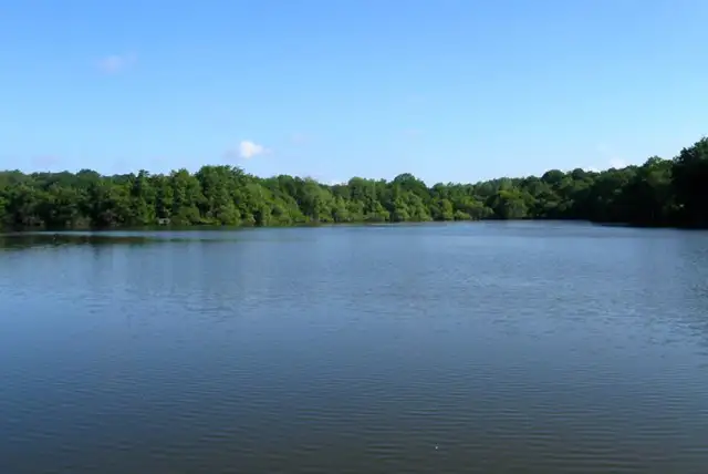
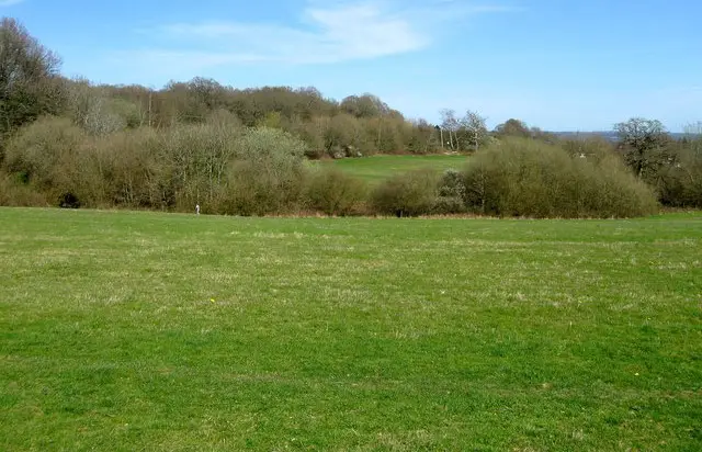
One half of the walk takes you through some nice and peaceful open countryside with a nice view, and the second half of the walk takes you on a stroll alongside the gorgeous reservoir itself.
Based on 1 user rating
A very popular walk
Dog heaven
Generally well maintained
Hard going with a buggy
Not wheelchair accessible
Plenty of toilets
Good stop on route
Spot on
Real feedback from people who have completed this walk using the Sussex Walks app.
First-hand experiences
Path through woods was overgrown and the farmland was deeply rutted and difficult to walk on. We went in June.
Comments from walkers who have completed the Ardingly Reservoir walk.
Navigate the walks
The easiest way to follow this route is with the Sussex Walks app. Choose the walk and follow the pointer showing your live position on the route map, so you can see you're on the right path.
The app works without a phone signal, so you can keep following the route wherever the walk takes you.

Explore the area
 2.5-6 miles
 1 miles
 1.75-5.25 miles
 2.25-5.25 miles
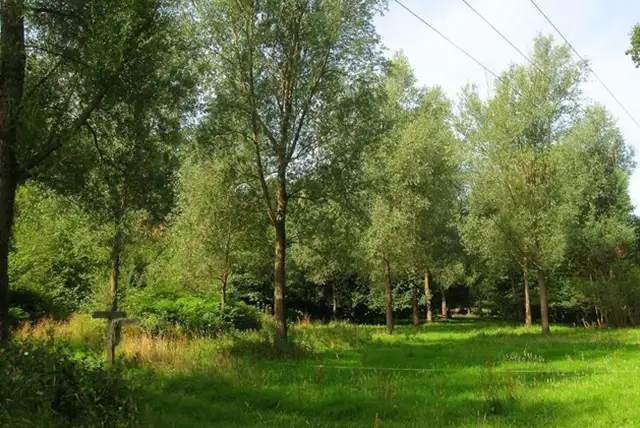 1.5-6.75 miles
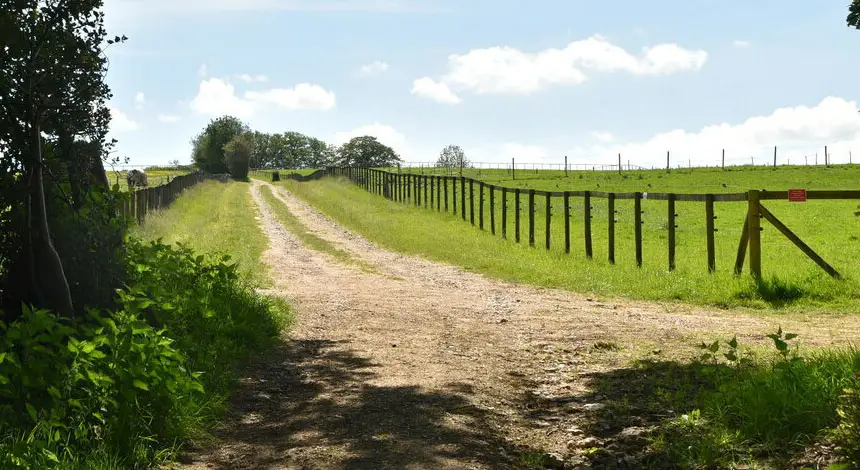 2.75-3.75 miles
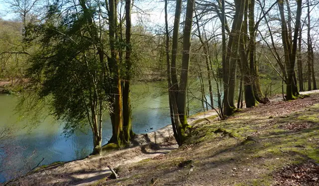 1-2.5 miles
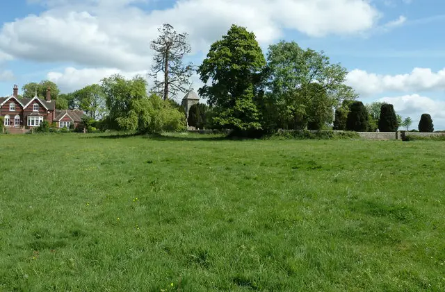 1.75 miles
 4.25-6.75 miles
 1-2.5 miles
 4.75 miles
 1 miles
 2.25-5.5 miles
 1.25-2.5 miles
 1-3.5 miles
Explore the county
See where the walks start, explore the area and tap a pin to find a route for your next adventure.
Search Sussex walks