Surrey Walks

Horsell Common

Horsell Common walk, Surrey
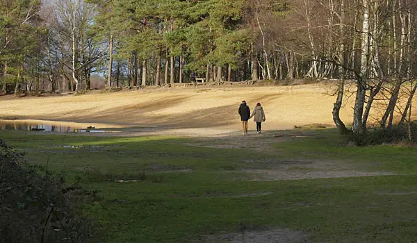
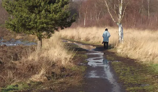
Horsell Common · Photo: Alan Hunt

Download the Surrey Walks App to follow these routes with real-time GPS navigation.

Download on the App Store Get it on Google Play

On a computer? Scan the QR code with your phone's camera to get the Surrey Walks app.

Walk information

Horsell Common Walk 1

Walk distance
2¼ miles
Time
1 hour
Route type
Circular

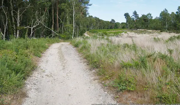
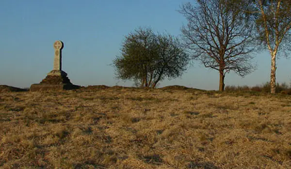
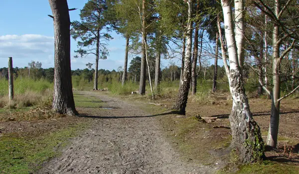
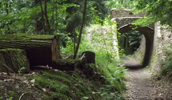
This is a wonderful short family-friendly walk around the beautiful woodlands, heathlands and the sand pit of Horsell Common.

It's an open access common, so you can explore freely if you choose, but our route gives you a good walk to view most areas of the common.

Walk information

Horsell Common Walk 2

Walk distance
4 miles
Time
2 hours
Route type
Circular

This second route is basically an extended version of the first route that still enjoys most of the lovely Horsell Common.

However, the extended distance then takes you out of the common to the north, where you'll pass Fairoaks Airport and if you're lucky you might see some planes or helicopters taking off or landing which adds a bit of fun to the walk.

There is also a cafe at the far northern end of the walk if you want some refreshments while watching the planes. Check their facebook page for opening times.

The only issue to be aware of is the 2 hour limit on the parking. If this is still in place when you visit, then you may need to plan your walk accordingly.

Refreshments:

The Hangar Cafe, Fairoaks Airport

These Horsell Common walks start at coordinates: 51.333355, -0.548801

Navigate the walks

Surrey Walks App

Follow the Horsell Common walks with GPS guidance

It's like sat-nav, but for footpaths.

Choose a walk and follow the pointer showing your live position on the route map, so you always know you're on the right path.

The app works without a phone signal, so you can keep following the route wherever the walk takes you.

Download the app

Download on the App Store Get it on Google Play

On a computer? Scan the QR code with your phone's camera to get the Surrey Walks app.

Surrey Walks app showing the walker's live position on a route map

Designed to be simple

  • Choose a walk and follow the pointer
  • See your live position on the route map
  • Works without a phone signal
  • Includes 150+ Surrey walks
  • Free one-month trial
  • Available for iPhone and Android

Explore the area

Nearby walks

Explore the county

Surrey walks map

Map data © OpenStreetMap contributors

Search Surrey walks

See where the walks start, explore the area and tap a pin to find a route for your next adventure.

Search Surrey walks
Expanded route map for Horsell Common Walk 1, a 2.25 mile circular walk in Surrey