
At a glance
Albury Bottom Walk
- Distance
- 3.5 miles
- Estimated time
- 2 hours
- Route type
- Circular
- GPS app guided
- Yes
- Parking
- Free parking at start 51.37042, -0.60592
- Characteristics
- Woodland
Surrey Walks
Download the Surrey Walks App to follow this route with real-time GPS navigation.


At a glance
The walk
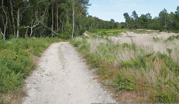
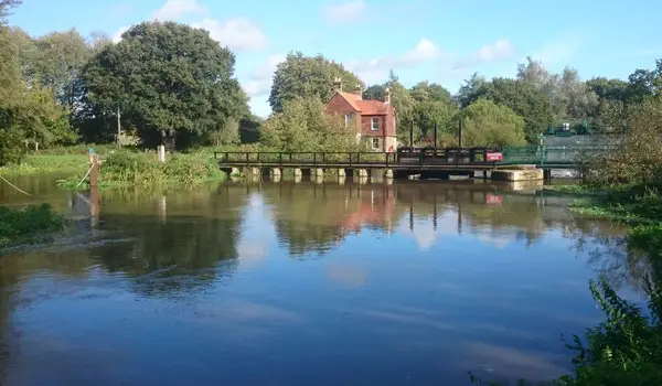
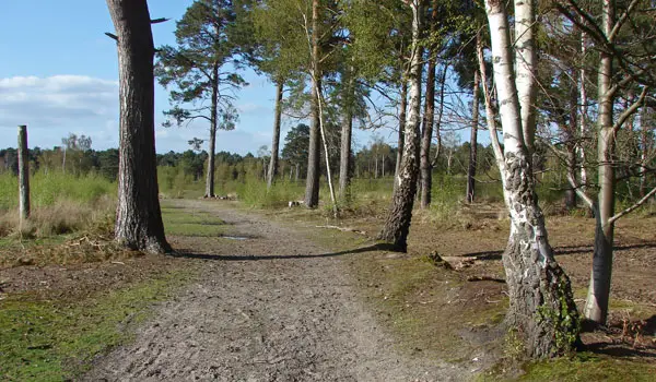
This is a nice and simple stroll around the Albury Bottom side of Chobham Common.
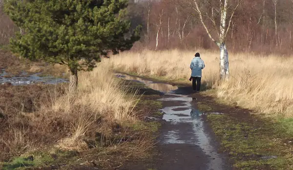
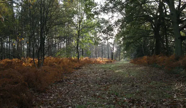
On a dry summer's day, there's some lovely woodland and heathland to enjoy on this route. However, please be aware that some sections can be closed off occasionally for works (it's open access land though so always lots of alternative detours to make) and it also can get muddy in the winter.
Navigate the walks
The easiest way to follow this route is with the Surrey Walks app. Choose the walk and follow the pointer showing your live position on the route map, so you can see you're on the right path.
The app works without a phone signal, so you can keep following the route wherever the walk takes you.

Explore the area
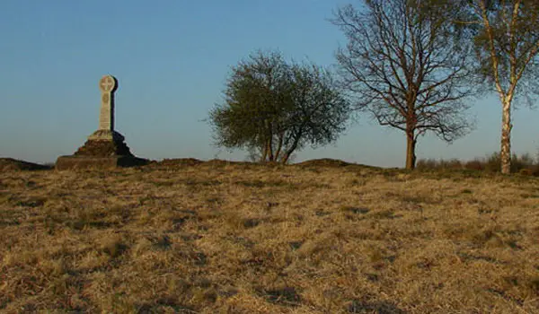 2.5 miles
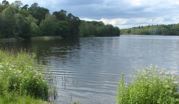 4.25 miles
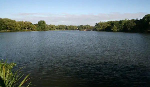 1 miles
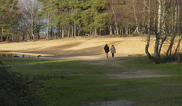 2.25-4 miles
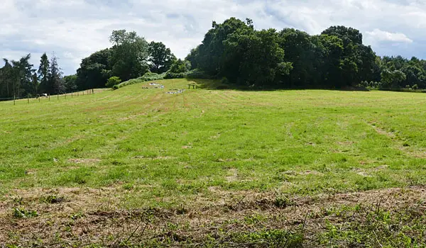 2-4.5 miles
 2.25 miles
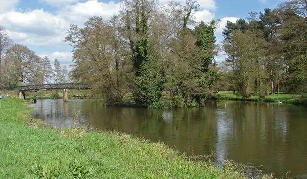 3.25-7.75 miles
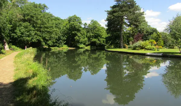 2.5-4.5 miles
 2.25-5.75 miles
 2.75 miles
 2.25-4.25 miles
 4.5 miles
 2.75 miles
 7.25 miles
 2 miles
Explore the county
See where the walks start, explore the area and tap a pin to find a route for your next adventure.
Search Surrey walks