

Derbyshire Walks

Winnats Pass Walk and Route Map

Winnats Pass
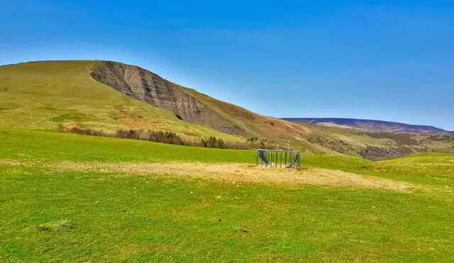
Castleton · Photo: Brian Frost

If you're looking for a Winnats Pass walk, this circular route from Castleton is a great way to experience one of the most dramatic landscapes in the Peak District.

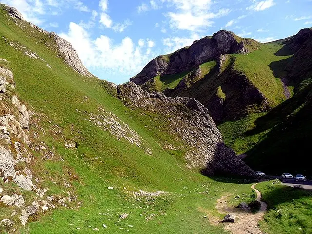
Winnats Pass is a spectacular limestone gorge surrounded by steep-sided hills and towering limestone pinnacles. The narrow road winds through the gorge between Castleton and the higher ground to the west, creating one of the most recognisable views in the Peak District.

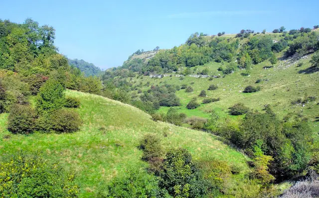
This walk combines the dramatic scenery of Winnats Pass with Cave Dale, another impressive limestone valley tucked away behind Castleton. Along the way you'll enjoy far-reaching views across the surrounding countryside and towards the Great Ridge, before returning to Castleton where there are plenty of cafés, pubs and shops.

Download the Derbyshire Walks App to follow this route with real-time GPS navigation.

Download on the App Store Get it on Google Play

On a computer? Scan the QR code with your phone's camera to get the Derbyshire Walks app.

Castleton walk 01

Winnats Pass from Castleton

Walk distance
4¾ miles
Time
3 hours
Route type
Circular

Although this circular Winnats Pass walk isn't particularly long, there are a few hills to tackle along the way, with some wonderful views as your reward.

Leaving Castleton, the route initially heads towards the spectacular Winnats Pass, where you'll walk through the dramatic limestone gorge with steep hills rising on either side. There is some roadside walking for the first couple of kilometres, but there is a footpath throughout.

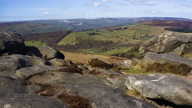
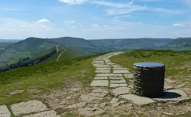
From Winnats Pass, the route continues through the beautiful limestone countryside above Castleton, with far-reaching views across the valley towards the Great Ridge.

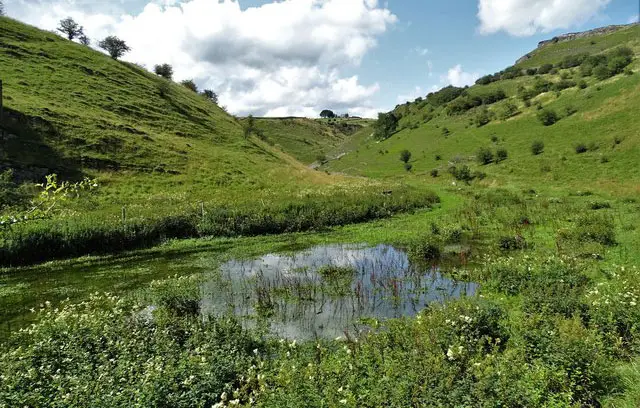
The return journey takes you through the impressive Cave Dale, a hidden limestone valley surrounded by rugged cliffs, before bringing you back into Castleton.

There are plenty of cafés, pubs and shops in Castleton, making it a great place to stop for refreshments after the walk.

Winnats Pass from Castleton 5.0 Ratings and reviews 1 rating

Based on 1 user rating

Community feedback

Overall rating5.0

An outstanding walk

Dog friendly5.0 / 5
Path condition4.0 / 5
Buggy friendly1.0 / 5
Wheelchair friendly1.0 / 5
Toilet facilities2.0 / 5
Pub or café2.0 / 5
Route accuracy5.0 / 5
ClimbingPlenty of climbing
LivestockLivestock likely
StilesA few stiles on route
Mud levelWellies when wet

Real feedback from people who have completed this walk using the Derbyshire Walks app.

Navigate the walks

Derbyshire Walks App

Follow the Castleton walk with GPS guidance

It's like sat-nav, but for footpaths.

Choose a walk and follow the pointer showing your live position on the route map, so you always know you're on the right path.

The app works without a phone signal, so you can keep following the route wherever the walk takes you.

Download the app

Download on the App Store Get it on Google Play

On a computer? Scan the QR code with your phone's camera to get the Derbyshire Walks app.

Derbyshire Walks app showing the walker's live position on a route map

Designed to be simple

  • Choose a walk and follow the pointer
  • See your live position on the route map
  • Works without a phone signal
  • Includes 250 Derbyshire walks
  • Free one-month trial
  • Available for iPhone and Android

Explore the area

Nearby walks

Explore the county

Derbyshire walks map

Map data © OpenStreetMap contributors

Search Derbyshire walks

See where the walks start, explore the area and tap a pin to find a route for your next adventure.

Search Derbyshire walks
Expanded route map for Winnats Pass from Castleton, a 4.75 mile circular walk in Derbyshire