

Oxfordshire Walks

Sonning Common Walks & Route Maps

Sonning Common walk, Oxfordshire
Sonning Common · Photo: Andrew Smith

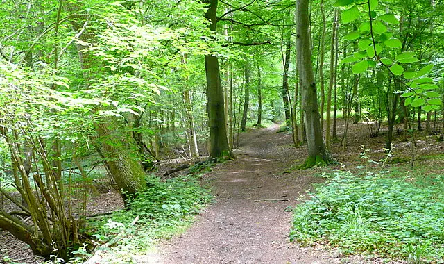
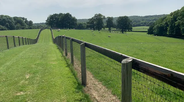
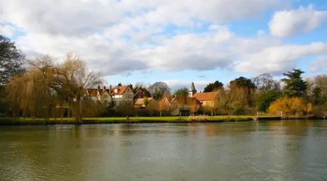
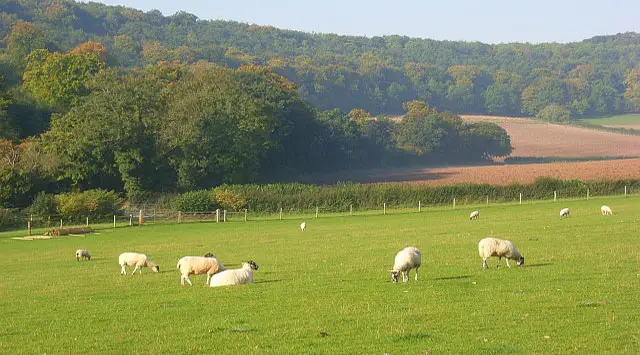
These walks start from the village of Sonning Common and explore a beautiful mix of woodland, common land, and gentle Chiltern countryside centred around the Hare and Hounds pub.

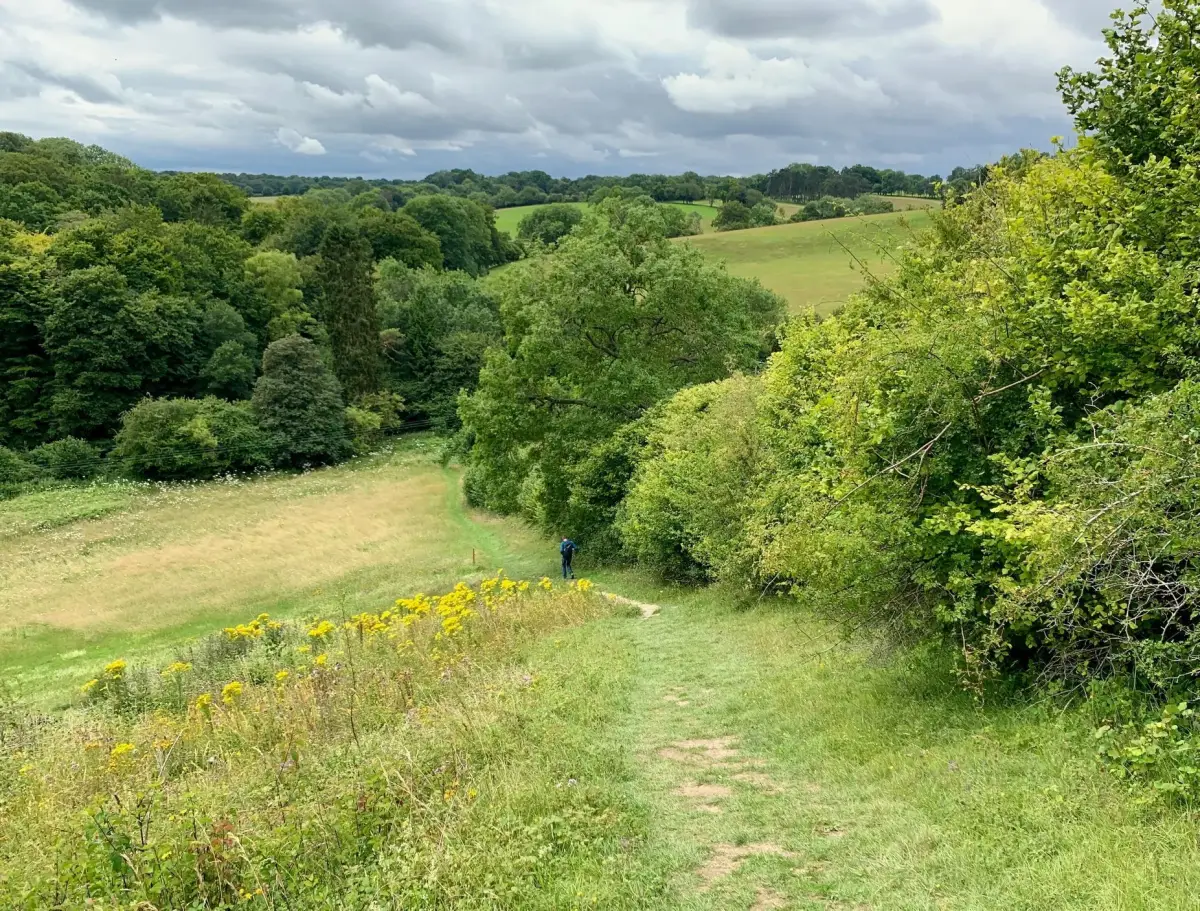
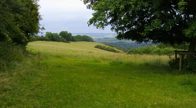
You’ll pass through places like Shiplake Bottom, Peppard Common, and peaceful stretches of forest, with some lovely views as you return down Shiplake Hill.

Whether you choose the shorter pub circuit, the woodland-focused route through New Copse, or the longer adventure into Kingwood Common, these walks offer a varied and enjoyable day out with a well-earned stop waiting back in the village.

Download the Oxfordshire Walks App to follow these routes with real-time GPS navigation.

Download on the App Store Get it on Google Play

Walk information

Sonning Common Walk 1

Walk distance
2¾ miles
Time
1.5 hours
Route type
Circular

This is a lovely short pub walk from the village of Sonning Common. Park on the roadside somewhere around the Hare and Hounds pub and head clockwise around this route.

It takes you through some lovely woodland areas through Shiplake Bottom and Peppard Common before visiting a delightful church and then enjoying some great views as you walk back down Shiplake Hill to Sonning Common and your reward in the Hare and Hound's beer garden.

Sonning Common Walk 1 3.7 Ratings and reviews 3 ratings · 1 review

Based on 3 user ratings

Community feedback

Overall rating3.7

A well-liked walk

Dog friendly4.0 / 5
Path condition3.3 / 5
Buggy friendly0.7 / 5
Wheelchair friendly0.7 / 5
Toilet facilities1.0 / 5
Pub or café2.7 / 5
Route accuracy5.0 / 5
ClimbingSome climbing
LivestockNo livestock
StilesNo stiles
Mud levelDry underfoot

Real feedback from people who have completed this walk using the Oxfordshire Walks app.

First-hand experiences

User reviews

Walker review

Pleasant walk, mostly through woods, which keeps your cool in the heat. ...Past some lovely houses and if you’re so inclined, there are a few pubs en route (or close by) Red Lion

Walk information

Sonning Common Walk 2

Walk distance
3 miles
Time
1.5 hours
Route type
Circular

This alternative route from the Hare and Hounds pub in Sonning Common is more of a woodland adventure and heads east deep into and around the beautiful New Copse woodland before working your way back to the pub for your post walk reward.

Sonning Common Walk 2 4.5 Ratings and reviews 2 ratings · 1 review

Based on 2 user ratings

Community feedback

Overall rating4.5

An outstanding walk

Dog friendly4.0 / 5
Path condition4.5 / 5
Buggy friendly1.5 / 5
Wheelchair friendly1.0 / 5
Toilet facilities1.0 / 5
Pub or café0.5 / 5
Route accuracy5.0 / 5
ClimbingGentle slopes
LivestockNo livestock
StilesA stile or two
Mud levelWellies when wet

Real feedback from people who have completed this walk using the Oxfordshire Walks app.

First-hand experiences

User reviews

Walker review

Lovely scenery, good for all ages.

Walk information

Sonning Common Walk 3

Walk distance
6¼ miles
Time
3 hours
Route type
Circular

The final route is a much longer and hugely enjoyable walk around the areas of woodland and countryside surrounding Sonning Common.

It includes all of the best bits from the two shorter routes, but it also extends into the majestic Kingwood Common for even more dramatic woodland walking.

Sonning Common Walk 3 4.0 Ratings and reviews 1 rating · 1 review

Based on 1 user rating

Community feedback

Overall rating4.0

A very popular walk

Dog friendly4.0 / 5
Path condition4.0 / 5
Buggy friendly1.0 / 5
Wheelchair friendly1.0 / 5
Toilet facilities1.0 / 5
Pub or café2.0 / 5
Route accuracy4.0 / 5
ClimbingPlenty of climbing
LivestockSome livestock
StilesA stile or two
Mud levelBoots recommended

Real feedback from people who have completed this walk using the Oxfordshire Walks app.

First-hand experiences

User reviews

Walker review

Really good winter walk. Bit muddy in places due to horses!

Navigate the walks

Oxfordshire Walks App

Follow the Sonning Common walks with GPS guidance

It's like sat-nav, but for footpaths.

Choose a walk and follow the pointer showing your live position on the route map, so you always know you're on the right path.

The app works without a phone signal, so you can keep following the route wherever the walk takes you.

Download the app

Download on the App Store Get it on Google Play
Oxfordshire Walks app showing the walker's live position on a route map

Designed to be simple

  • Choose a walk and follow the pointer
  • See your live position on the route map
  • Works without a phone signal
  • Includes 250+ Oxfordshire walks
  • Free one-month trial
  • Available for iPhone and Android

Explore the area

Nearby walks

Explore the county

Oxfordshire walks map

Map data © OpenStreetMap contributors

Search Oxfordshire walks

See where the walks start, explore the area and tap a pin to find a route for your next adventure.

Search Oxfordshire walks
Expanded route map for Sonning Common Walk 1, a 2.75 mile circular walk in Oxfordshire